Academic Profile
Statistics
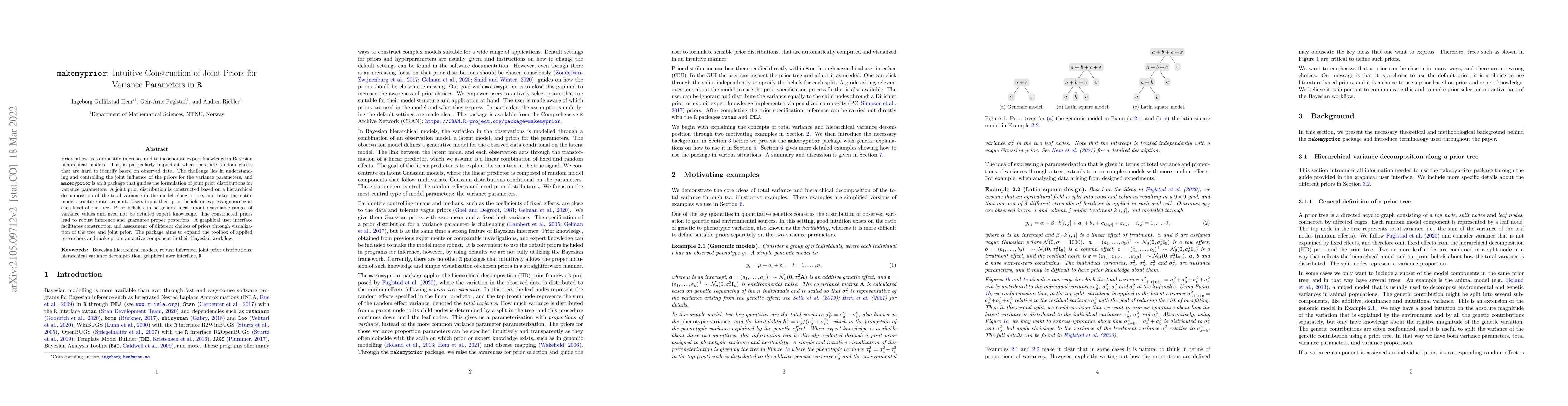
Similar Authors
Papers on arXiv
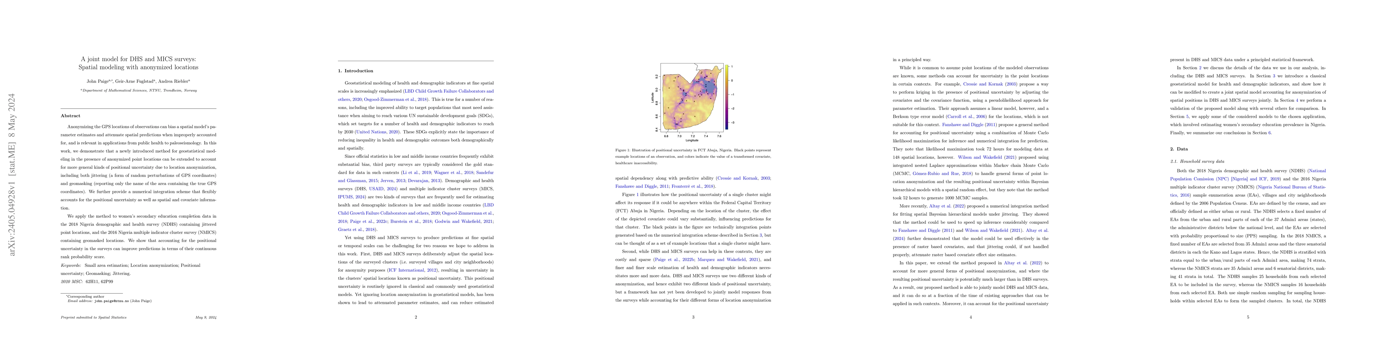
Anonymizing the GPS locations of observations can bias a spatial model's parameter estimates and attenuate spatial predictions when improperly accounted for, and is relevant in applications from pub...
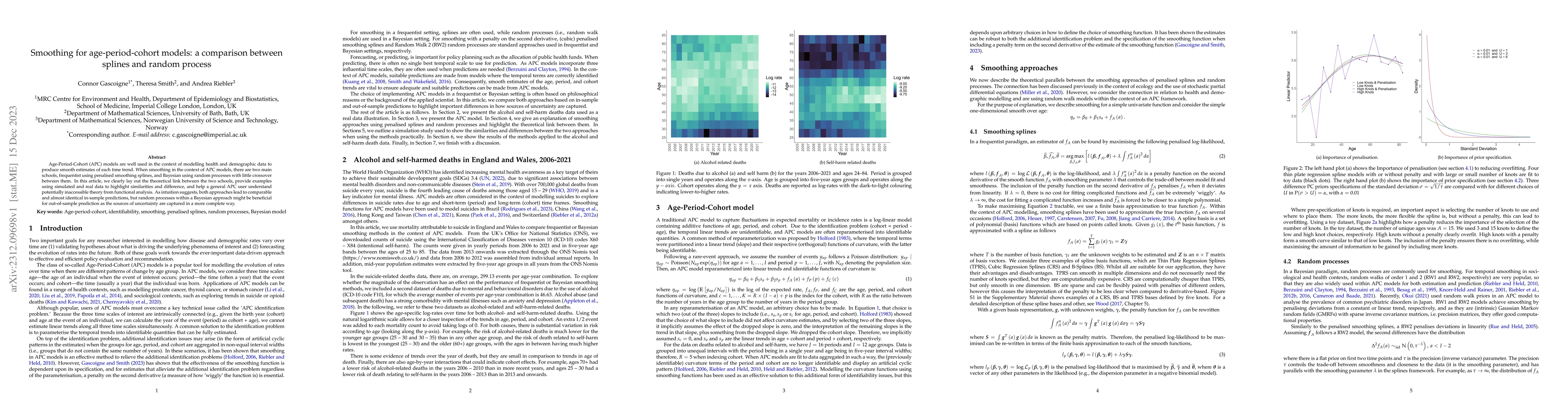
Age-Period-Cohort (APC) models are well used in the context of modelling health and demographic data to produce smooth estimates of each time trend. When smoothing in the context of APC models, ther...
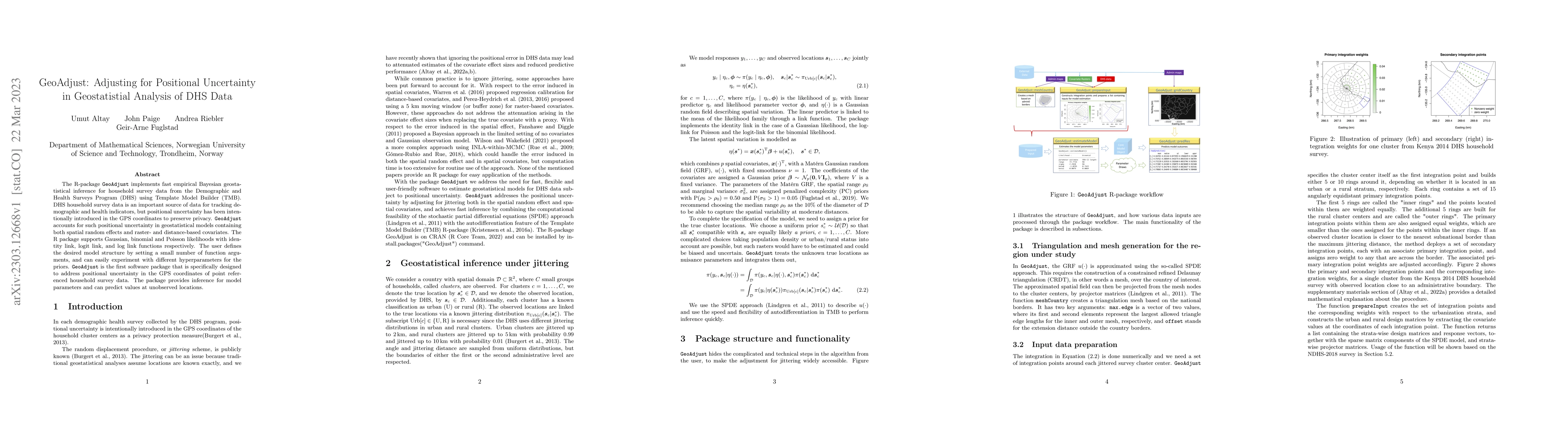
The R-package GeoAdjust https://github.com/umut-altay/GeoAdjust-package implements fast empirical Bayesian geostatistical inference for household survey data from the Demographic and Health Surveys ...
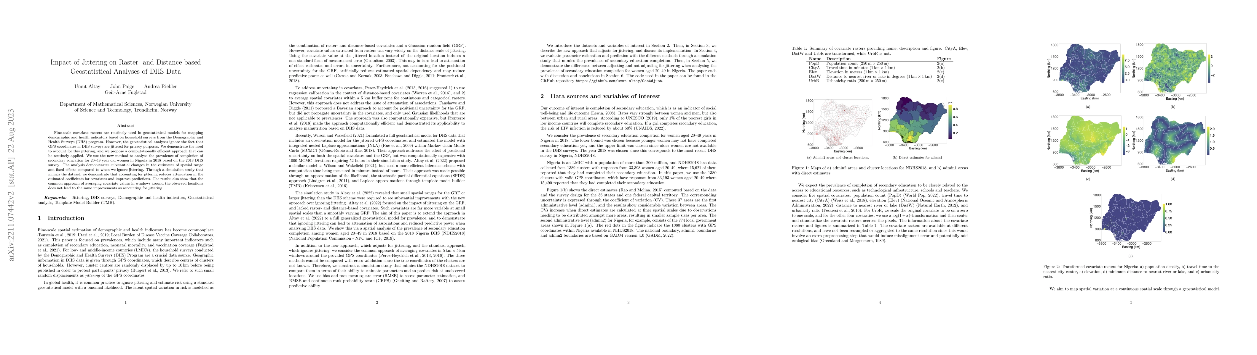
Fine-scale covariate rasters are routinely used in geostatistical models for mapping demographic and health indicators based on household surveys from the Demographic and Health Surveys (DHS) progra...
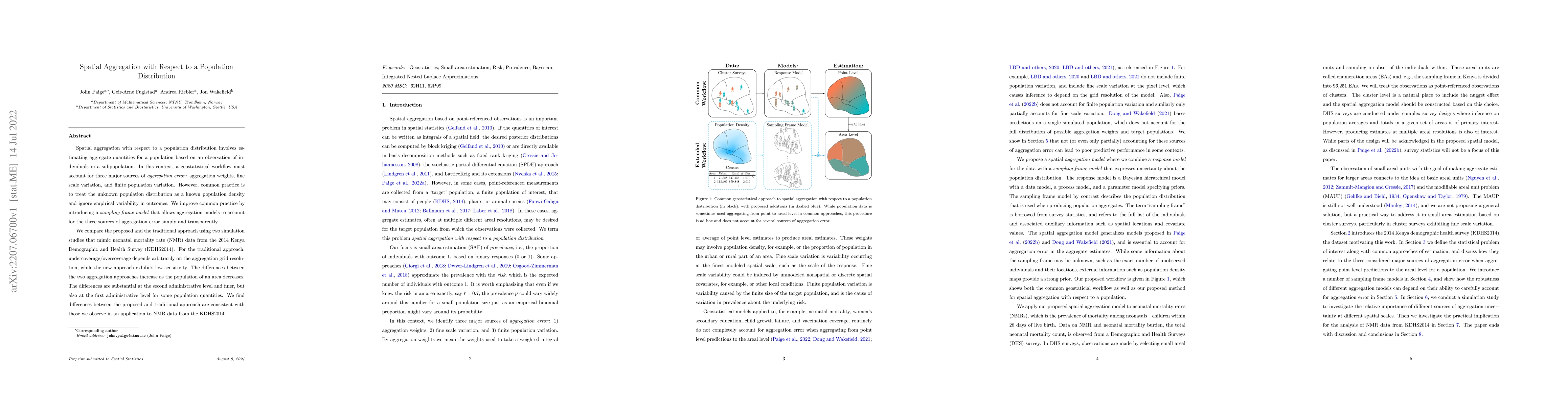
Spatial aggregation with respect to a population distribution involves estimating aggregate quantities for a population based on an observation of individuals in a subpopulation. In this context, a ...
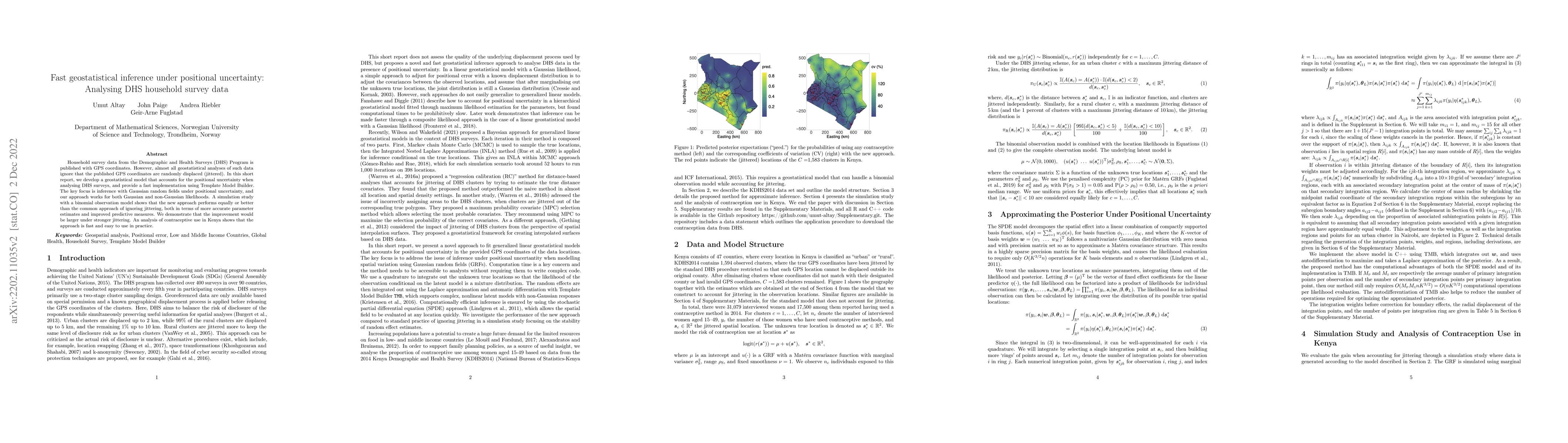
Household survey data from the Demographic and Health Surveys (DHS) Program is published with GPS coordinates. However, almost all geostatistical analyses of such data ignore that the published GPS ...
Priors allow us to robustify inference and to incorporate expert knowledge in Bayesian hierarchical models. This is particularly important when there are random effects that are hard to identify bas...
Current implementations of multiresolution methods are limited in terms of possible types of responses and approaches to inference. We provide a multiresolution approach for spatial analysis of non-...
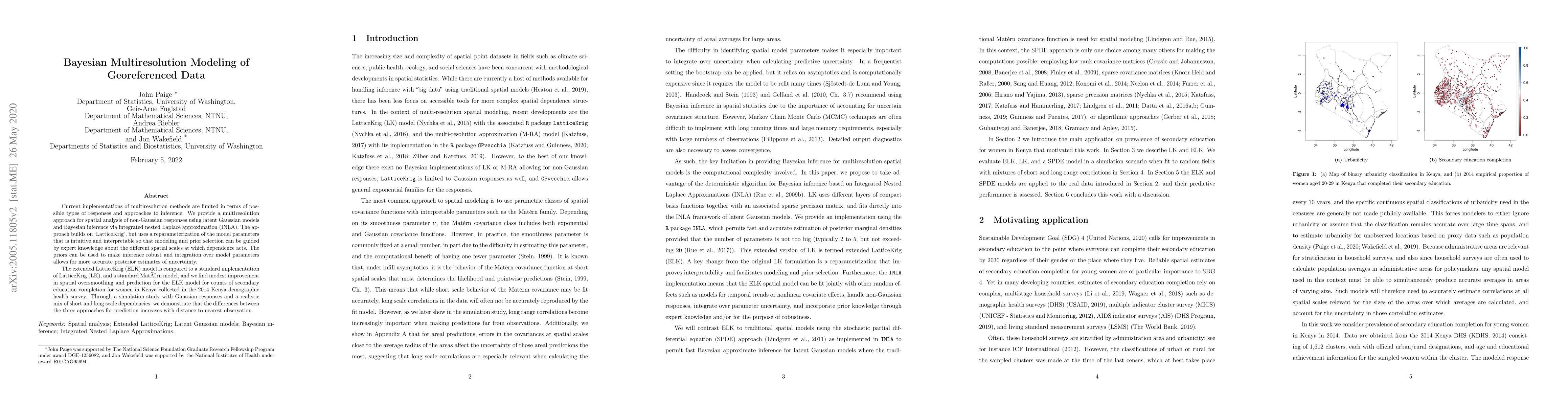
The need for rigorous and timely health and demographic summaries has provided the impetus for an explosion in geographic studies, with a common approach being the production of pixel-level maps, pa...
This is a short description and basic introduction to the Integrated nested Laplace approximations (INLA) approach. INLA is a deterministic paradigm for Bayesian inference in latent Gaussian models ...
Variance parameters in additive models are typically assigned independent priors that do not account for model structure. We present a new framework for prior selection based on a hierarchical decom...
Italy reports some of the lowest levels of mortality in the developed world. Recent evidence, however, suggests that even in low mortality countries improvements may be slowing and regional inequaliti...