Academic Profile
Statistics
Similar Authors
Papers on arXiv
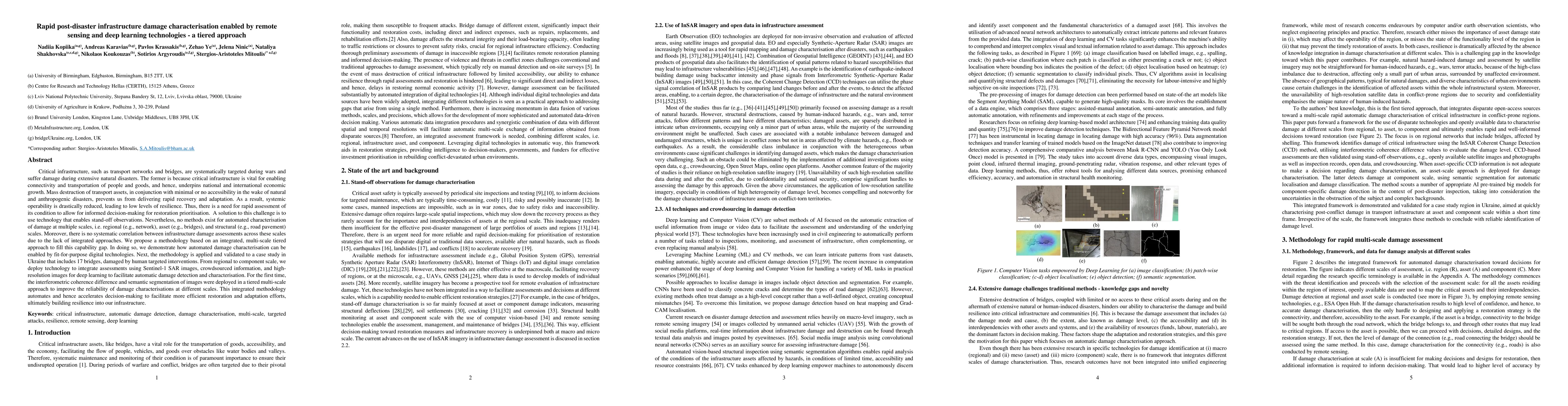
Critical infrastructure, such as transport networks and bridges, are systematically targeted during wars and suffer damage during extensive natural disasters because it is vital for enabling connect...
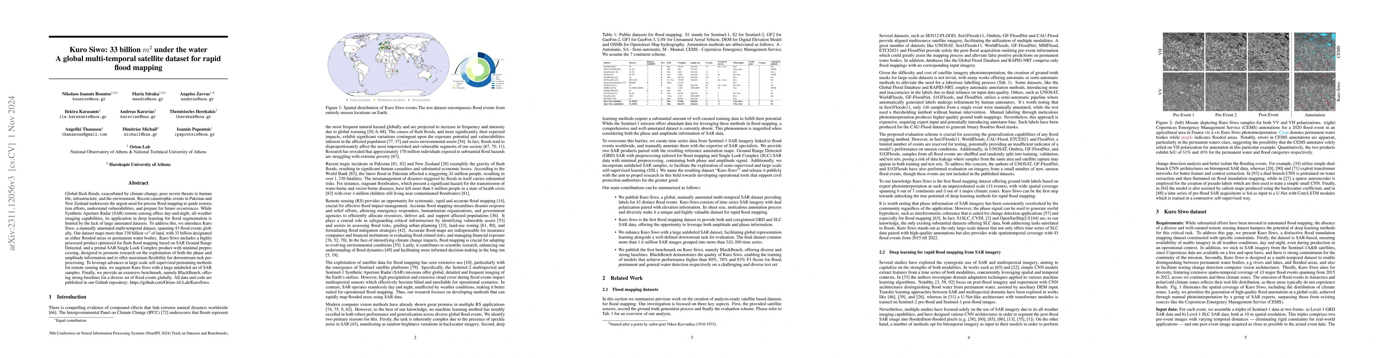
Global floods, exacerbated by climate change, pose severe threats to human life, infrastructure, and the environment. Recent catastrophic events in Pakistan and New Zealand underscore the urgent nee...
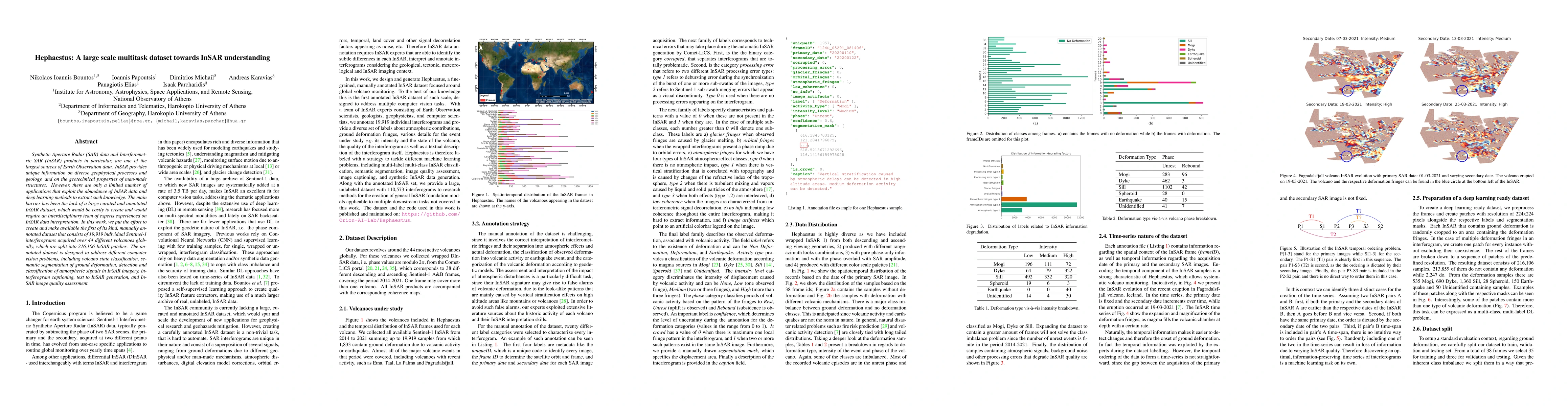
Synthetic Aperture Radar (SAR) data and Interferometric SAR (InSAR) products in particular, are one of the largest sources of Earth Observation data. InSAR provides unique information on diverse geo...
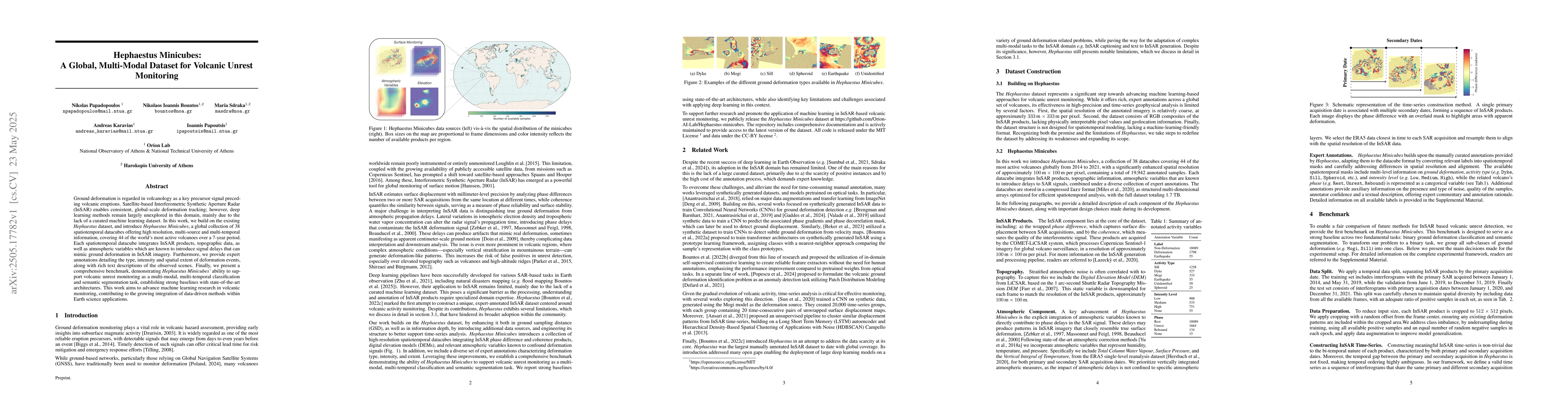
Ground deformation is regarded in volcanology as a key precursor signal preceding volcanic eruptions. Satellite-based Interferometric Synthetic Aperture Radar (InSAR) enables consistent, global-scale ...