Academic Profile
Statistics
Similar Authors
Papers on arXiv
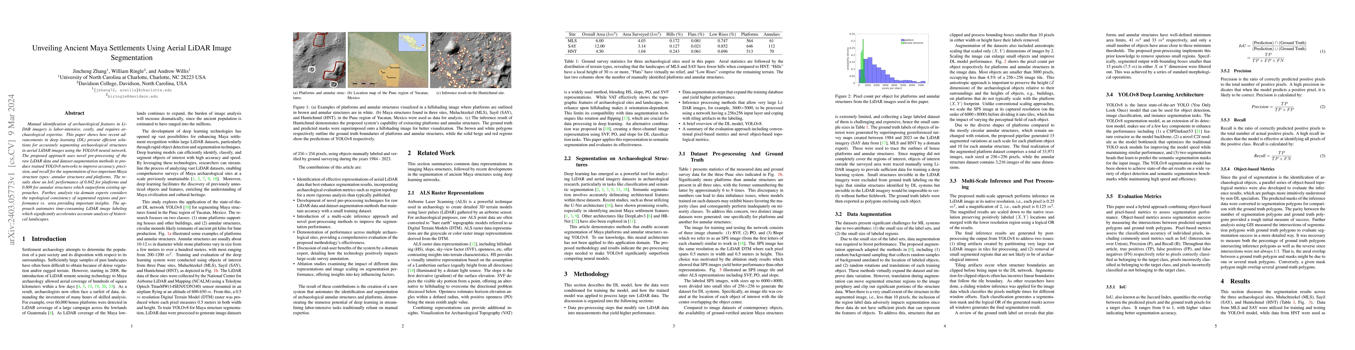
Manual identification of archaeological features in LiDAR imagery is labor-intensive, costly, and requires archaeological expertise. This paper shows how recent advancements in deep learning (DL) pr...
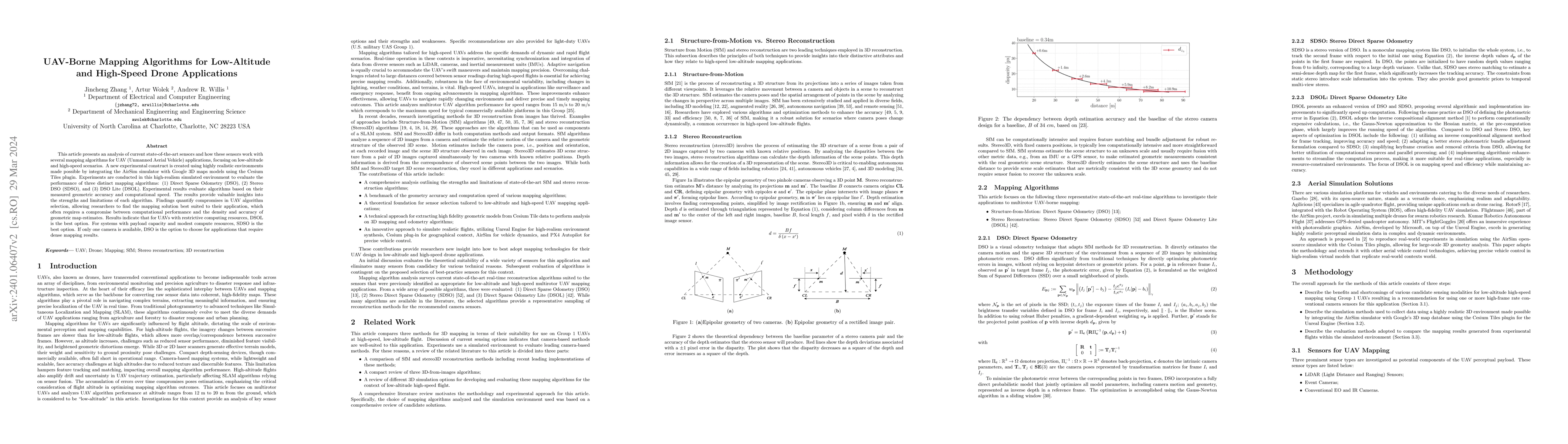
This article presents an analysis of current state-of-the-art sensors and how these sensors work with several mapping algorithms for UAV (Unmanned Aerial Vehicle) applications, focusing on low-altit...
This article describes a software package called ROS georegistration intended for use with the Robot Operating System (ROS) and the Gazebo 3D simulation environment. ROSgeoregistration provides tool...
This article describes novel approaches to quickly estimate planar surfaces from RGBD sensor data. The approach manipulates the standard algebraic fitting equations into a form that allows many of t...
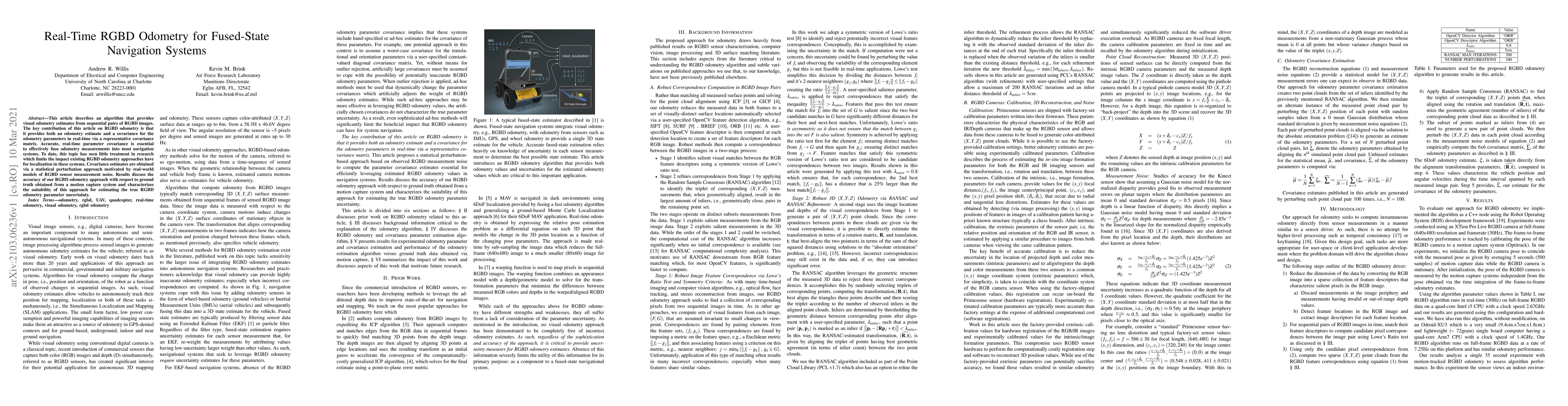
This article describes an algorithm that provides visual odometry estimates from sequential pairs of RGBD images. The key contribution of this article on RGBD odometry is that it provides both an od...
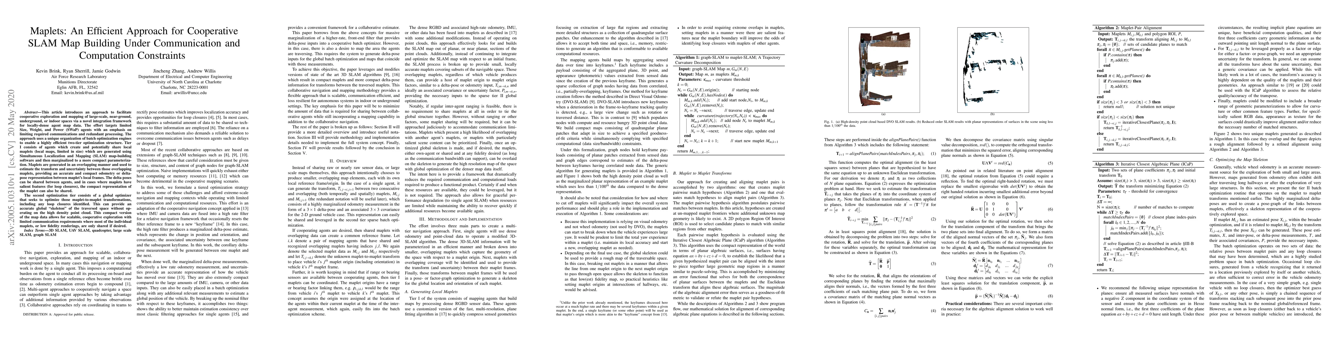
This article introduces an approach to facilitate cooperative exploration and mapping of large-scale, near-ground, underground, or indoor spaces via a novel integration framework for locally-dense a...
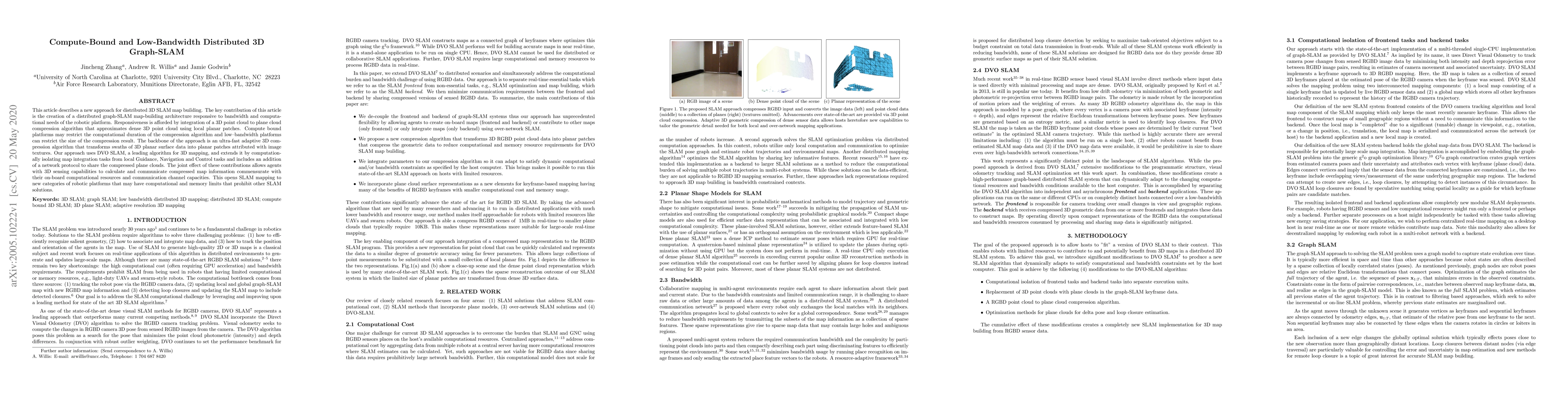
This article describes a new approach for distributed 3D SLAM map building. The key contribution of this article is the creation of a distributed graph-SLAM map-building architecture responsive to b...
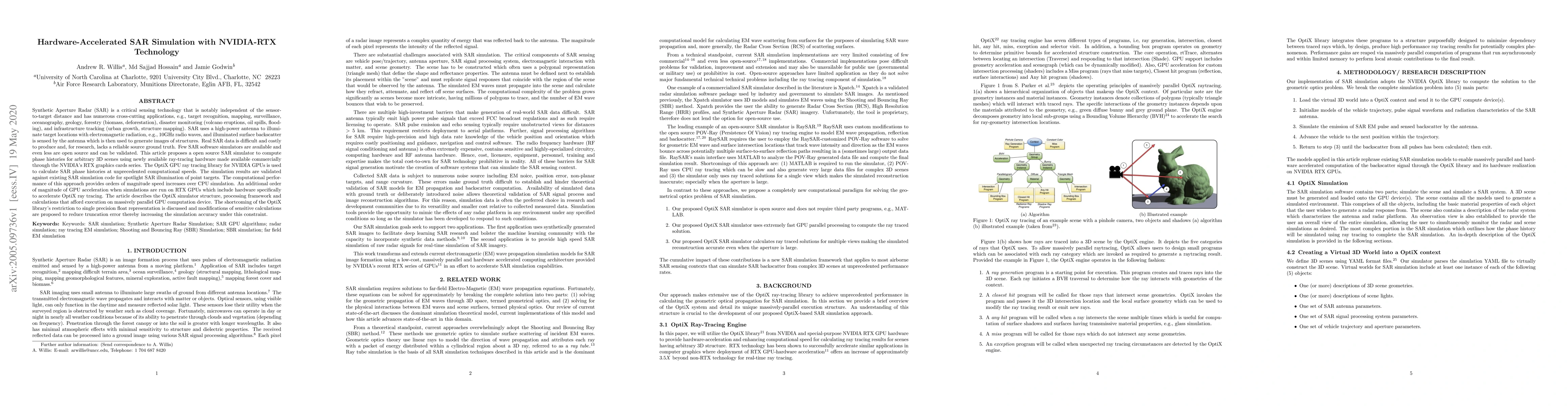
Synthetic Aperture Radar (SAR) is a critical sensing technology that is notably independent of the sensor-to-target distance and has numerous cross-cutting applications, e.g., target recognition, ma...