Academic Profile
Statistics
Similar Authors
Papers on arXiv
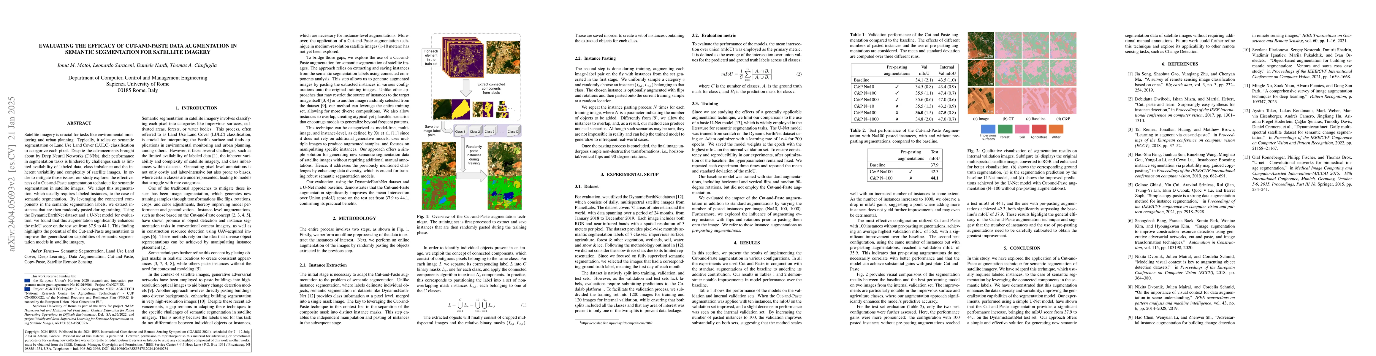
Satellite imagery is crucial for tasks like environmental monitoring and urban planning. Typically, it relies on semantic segmentation or Land Use Land Cover (LULC) classification to categorize each...
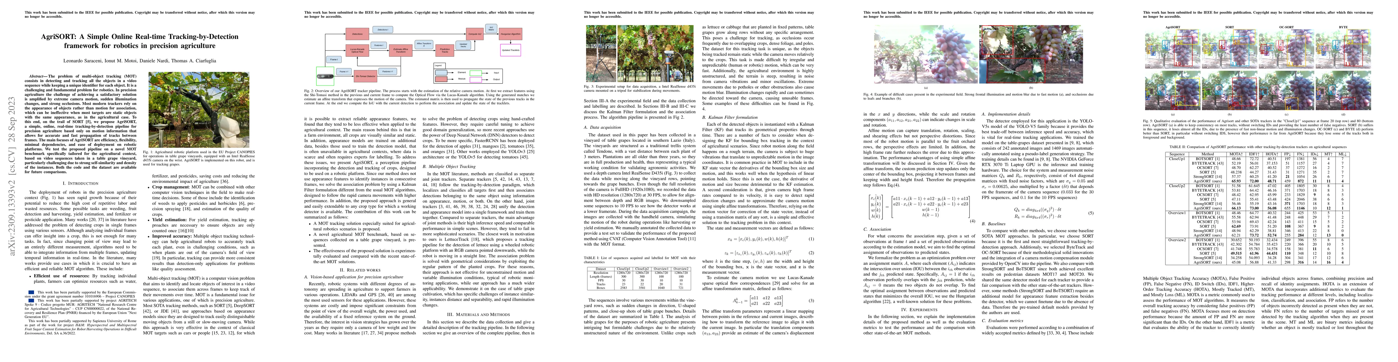
The problem of multi-object tracking (MOT) consists in detecting and tracking all the objects in a video sequence while keeping a unique identifier for each object. It is a challenging and fundament...
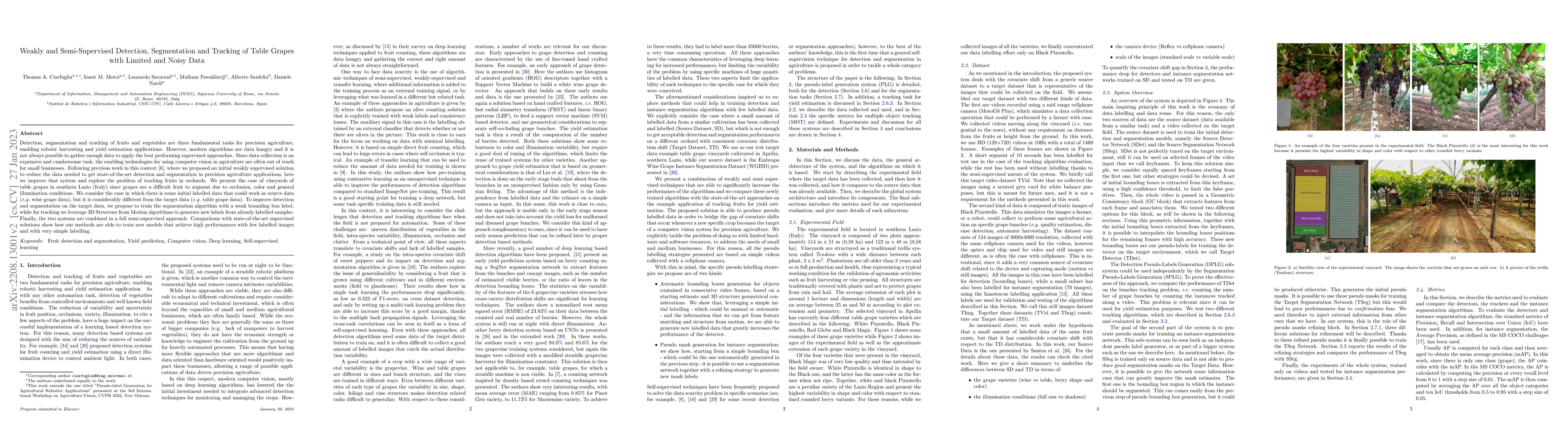
Detection, segmentation and tracking of fruits and vegetables are three fundamental tasks for precision agriculture, enabling robotic harvesting and yield estimation applications. However, modern al...