ArxivLens
I
Researcher

Isabelle Tingzon

8 papers on arXiv

8 arXiv Papers
4 Total Publications
Profile

Academic Profile

Name I. Tingzon
Total Papers 4
Scholar Profile View on Semantic Scholar
Metrics

Statistics

8 arXiv Papers
4 Total Publications
Publications

Papers on arXiv

Thumbnail for Mapping Housing Stock Characteristics from Drone Images for Climate
  Resilience in the Caribbean
arXiv
Mapping Housing Stock Characteristics from Drone Images for Climate Resilience in the Caribbean

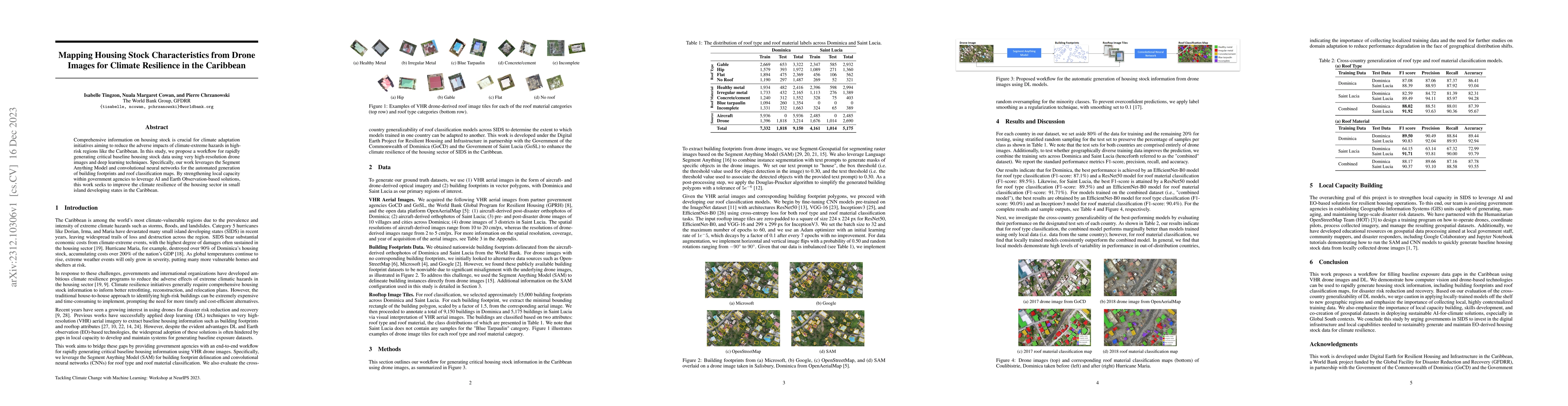
Comprehensive information on housing stock is crucial for climate adaptation initiatives aiming to reduce the adverse impacts of climate-extreme hazards in high-risk regions like the Caribbean. In t...

Thumbnail for Fusing VHR Post-disaster Aerial Imagery and LiDAR Data for Roof
  Classification in the Caribbean
arXiv
Fusing VHR Post-disaster Aerial Imagery and LiDAR Data for Roof Classification in the Caribbean

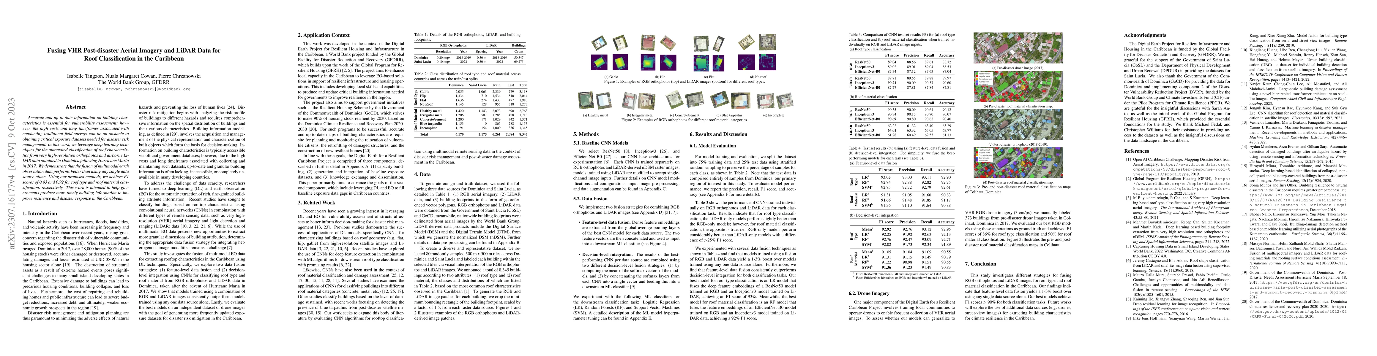
Accurate and up-to-date information on building characteristics is essential for vulnerability assessment; however, the high costs and long timeframes associated with conducting traditional field su...

Thumbnail for Mapping Access to Water and Sanitation in Colombia using Publicly
  Accessible Satellite Imagery, Crowd-sourced Geospatial Information and
  RandomForests
arXiv
Mapping Access to Water and Sanitation in Colombia using Publicly Accessible Satellite Imagery, Crowd-sourced Geospatial Information and RandomForests

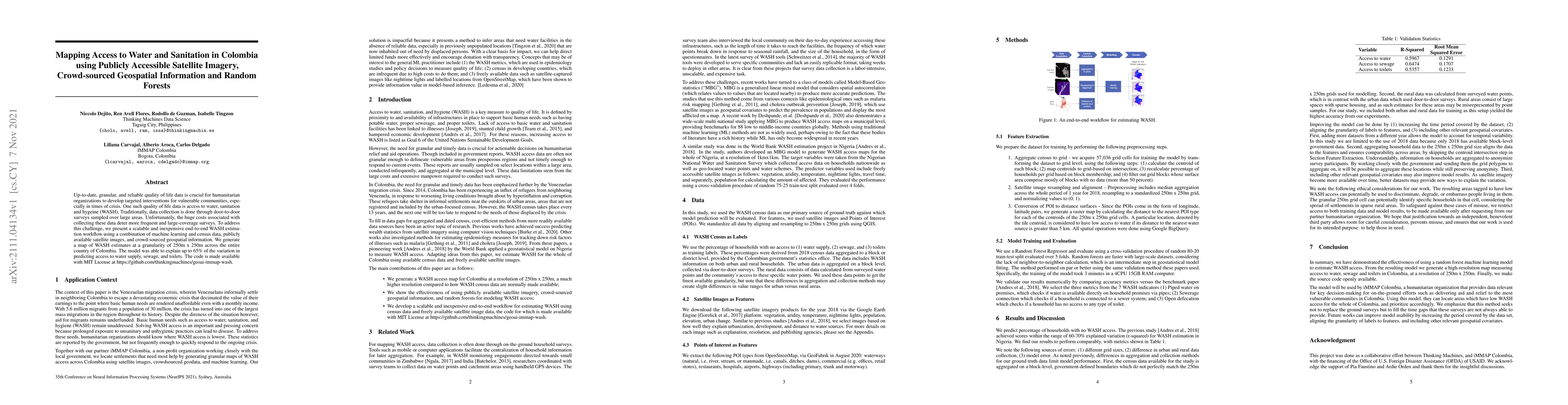
Up-to-date, granular, and reliable quality of life data is crucial for humanitarian organizations to develop targeted interventions for vulnerable communities, especially in times of crisis. One suc...

Thumbnail for Interpretable Poverty Mapping using Social Media Data, Satellite Images,
  and Geospatial Information
arXiv
Interpretable Poverty Mapping using Social Media Data, Satellite Images, and Geospatial Information

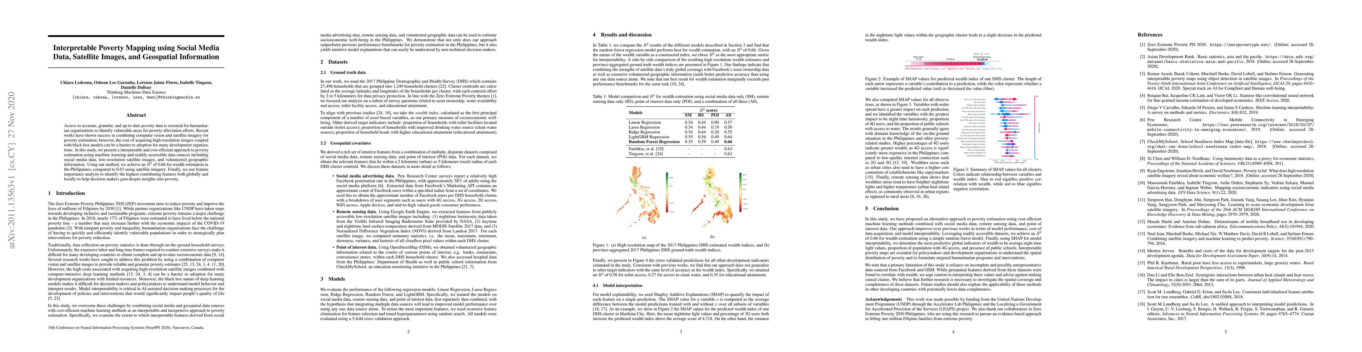
Access to accurate, granular, and up-to-date poverty data is essential for humanitarian organizations to identify vulnerable areas for poverty alleviation efforts. Recent works have shown success in...

Thumbnail for Mapping New Informal Settlements using Machine Learning and Time Series
  Satellite Images: An Application in the Venezuelan Migration Crisis
arXiv
Mapping New Informal Settlements using Machine Learning and Time Series Satellite Images: An Application in the Venezuelan Migration Crisis

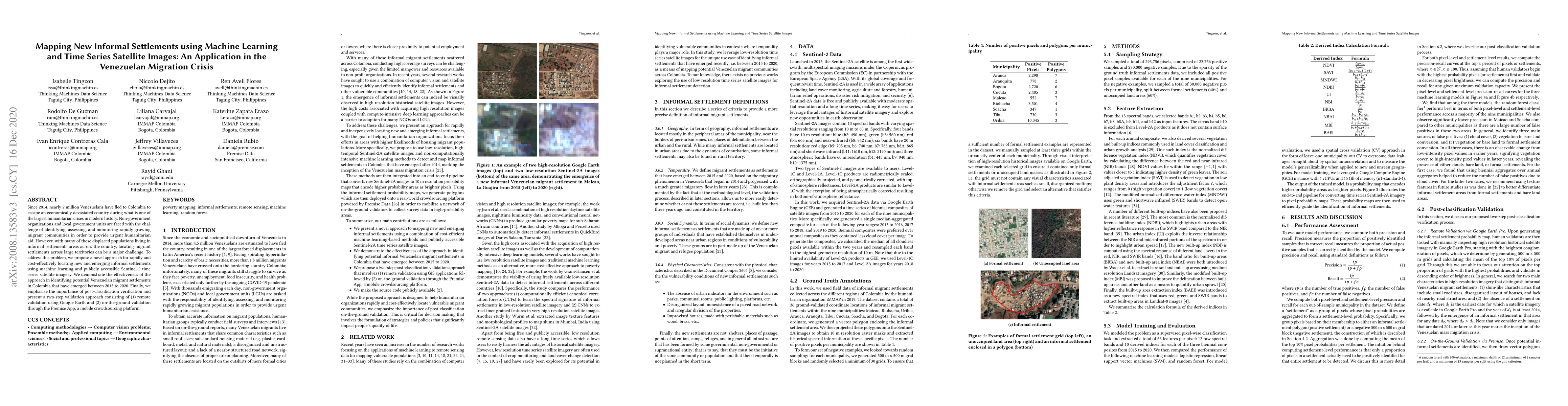
Since 2014, nearly 2 million Venezuelans have fled to Colombia to escape an economically devastated country during what is one of the largest humanitarian crises in modern history. Non-government or...

Thumbnail for Predicting Internet Connectivity in Schools: A Feasibility Study
  Leveraging Multi-modal Data and Location Encoders in Low-Resource Settings
arXiv
Predicting Internet Connectivity in Schools: A Feasibility Study Leveraging Multi-modal Data and Location Encoders in Low-Resource Settings

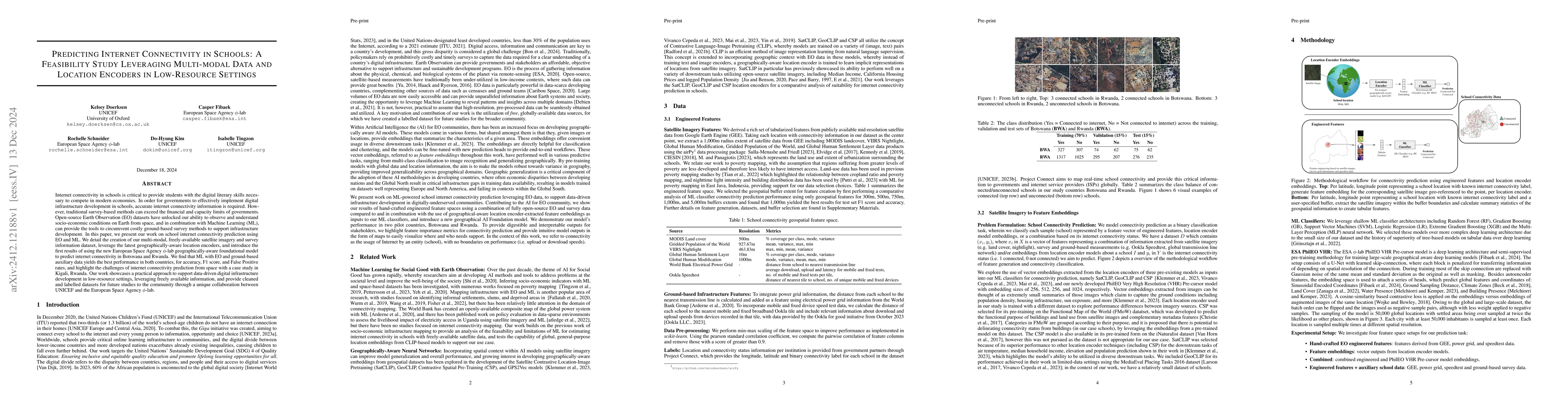
Internet connectivity in schools is critical to provide students with the digital literary skills necessary to compete in modern economies. In order for governments to effectively implement digital in...

Thumbnail for Large-scale School Mapping using Weakly Supervised Deep Learning for
  Universal School Connectivity
arXiv
Large-scale School Mapping using Weakly Supervised Deep Learning for Universal School Connectivity

Improving global school connectivity is critical for ensuring inclusive and equitable quality education. To reliably estimate the cost of connecting schools, governments and connectivity providers req...

Thumbnail for AI-Derived Structural Building Intelligence for Urban Resilience: An
  Application in Saint Vincent and the Grenadines
arXiv
AI-Derived Structural Building Intelligence for Urban Resilience: An Application in Saint Vincent and the Grenadines

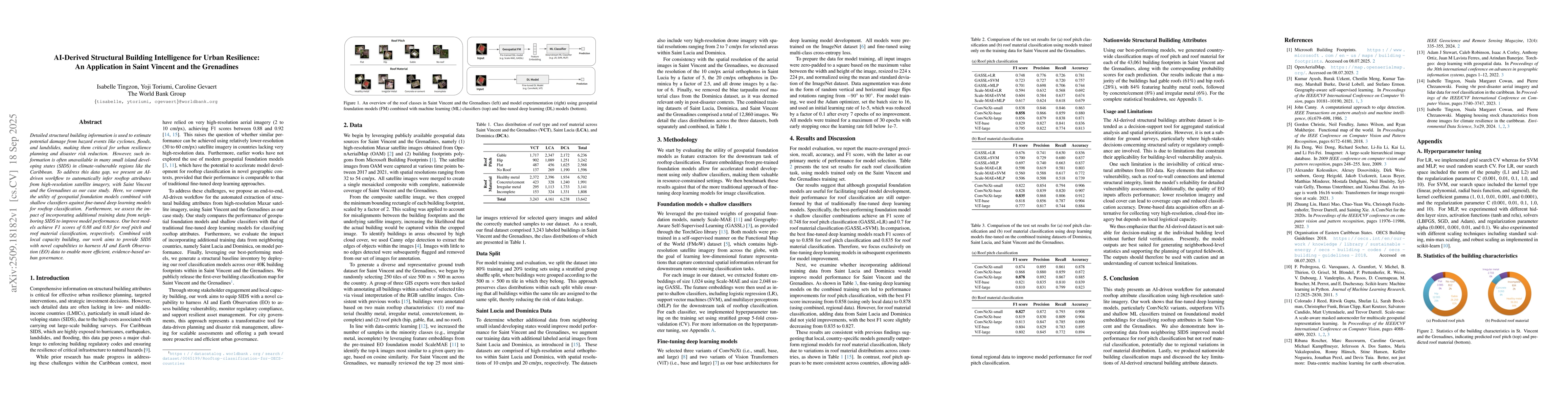
Detailed structural building information is used to estimate potential damage from hazard events like cyclones, floods, and landslides, making them critical for urban resilience planning and disaster ...

This website uses cookies to ensure you get the best experience. Learn more