Academic Profile
Statistics
Similar Authors
Papers on arXiv
A pedestrian navigation system (PNS) in indoor environments, where global navigation satellite system (GNSS) signal access is difficult, is necessary, particularly for search and rescue (SAR) operat...
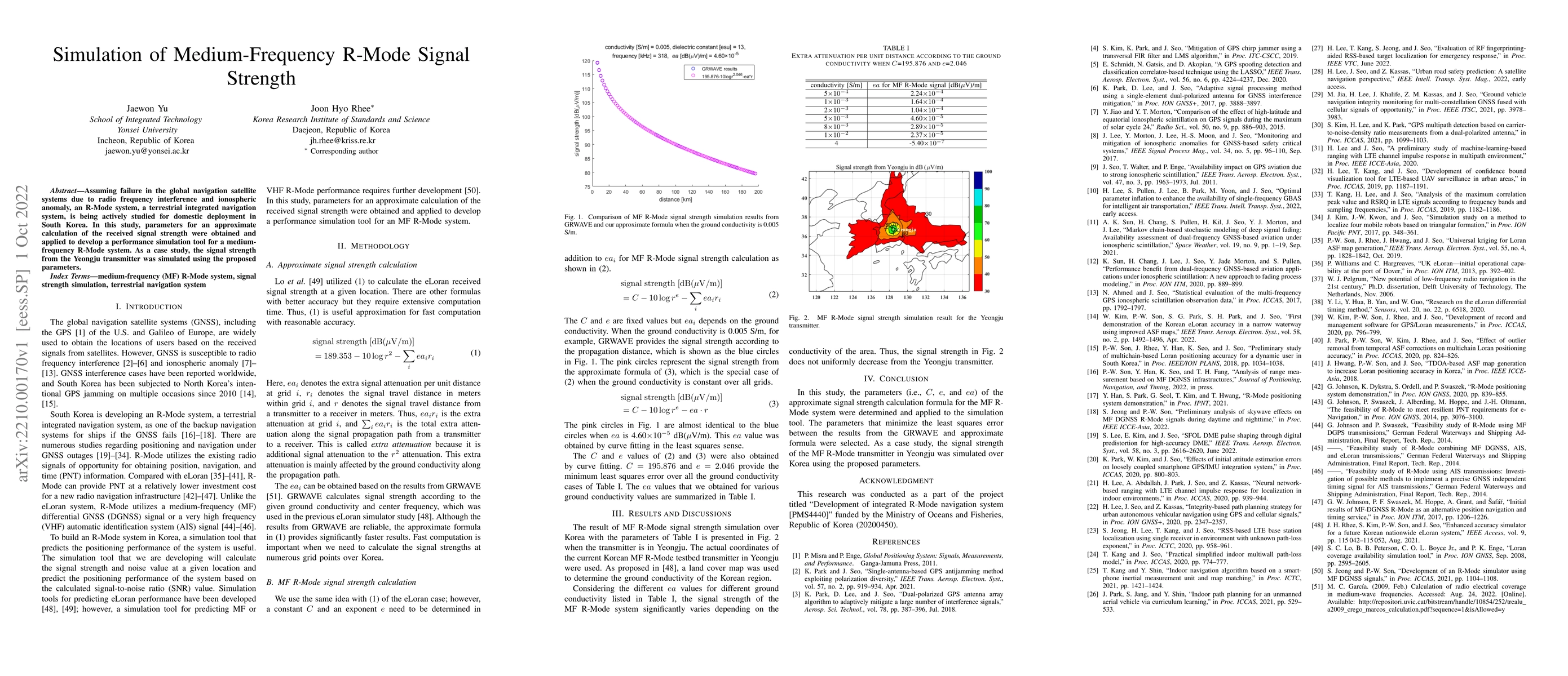
Assuming failure in the global navigation satellite systems due to radio frequency interference and ionospheric anomaly, an R-Mode system, a terrestrial integrated navigation system, is being active...
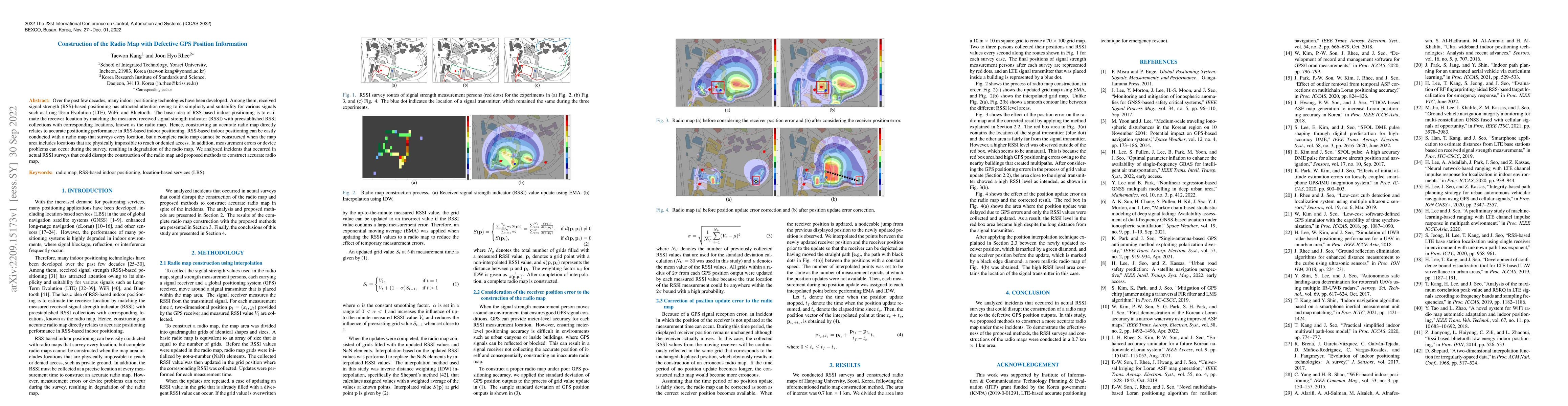
The basic idea of RSS-based indoor positioning is to estimate the receiver location by matching the measured received signal strength indicator (RSSI) with preestablished RSSI collections with corre...
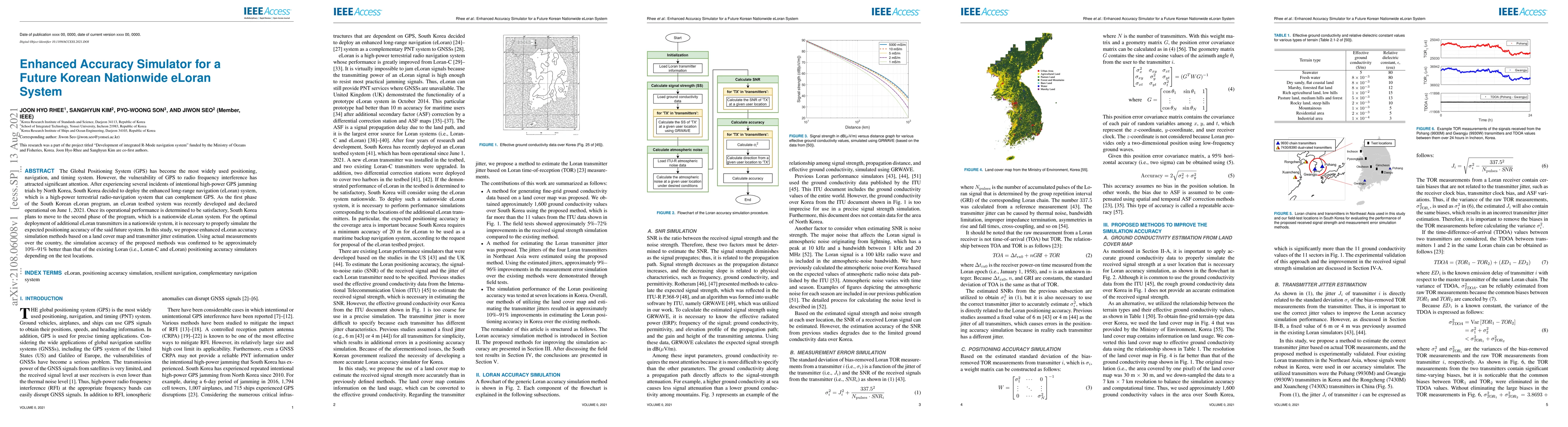
The Global Positioning System (GPS) has become the most widely used positioning, navigation, and timing system. However, the vulnerability of GPS to radio frequency interference has attracted signif...
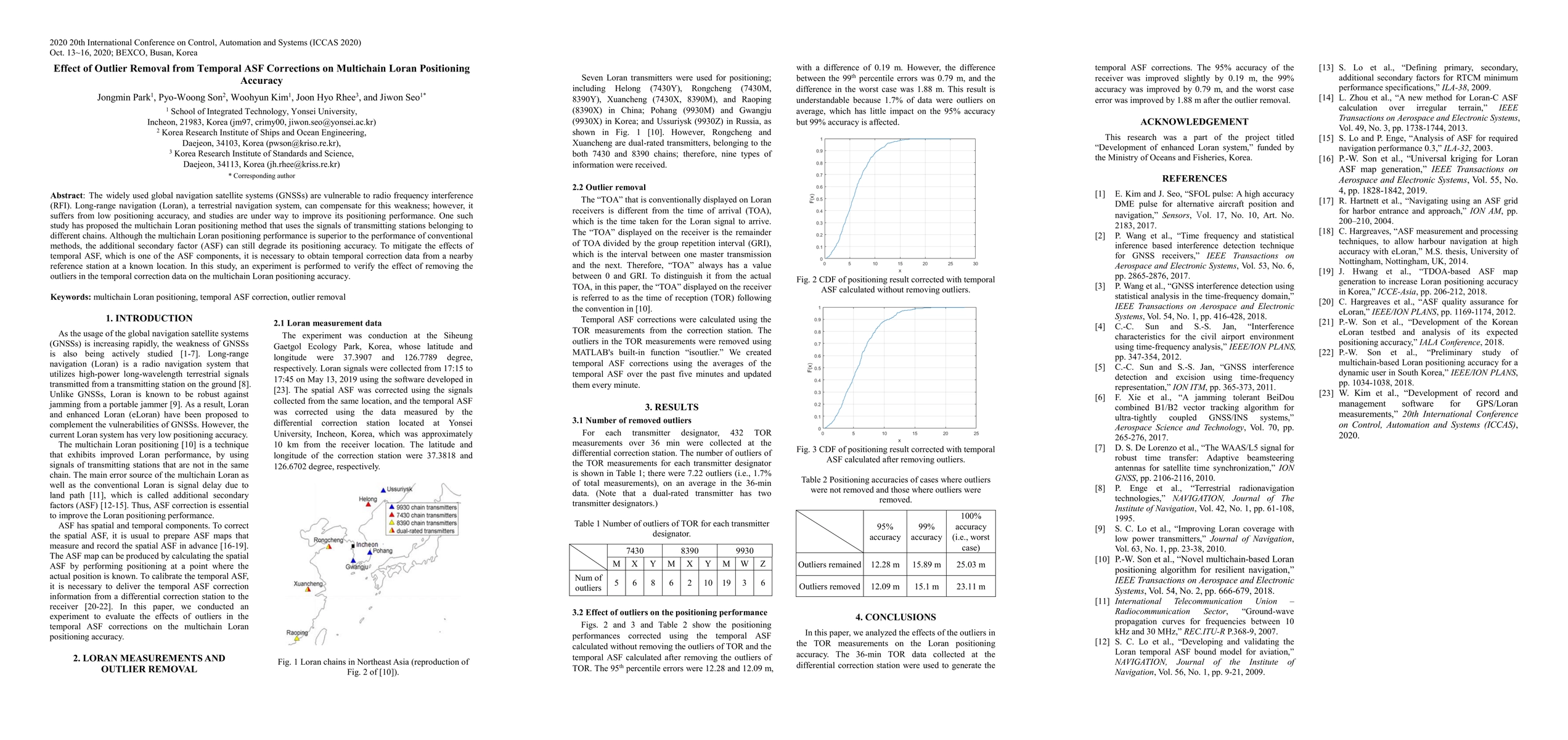
The widely used global navigation satellite systems (GNSSs) are vulnerable to radio frequency interference (RFI). Long-range navigation (Loran), a terrestrial navigation system, can compensate for t...
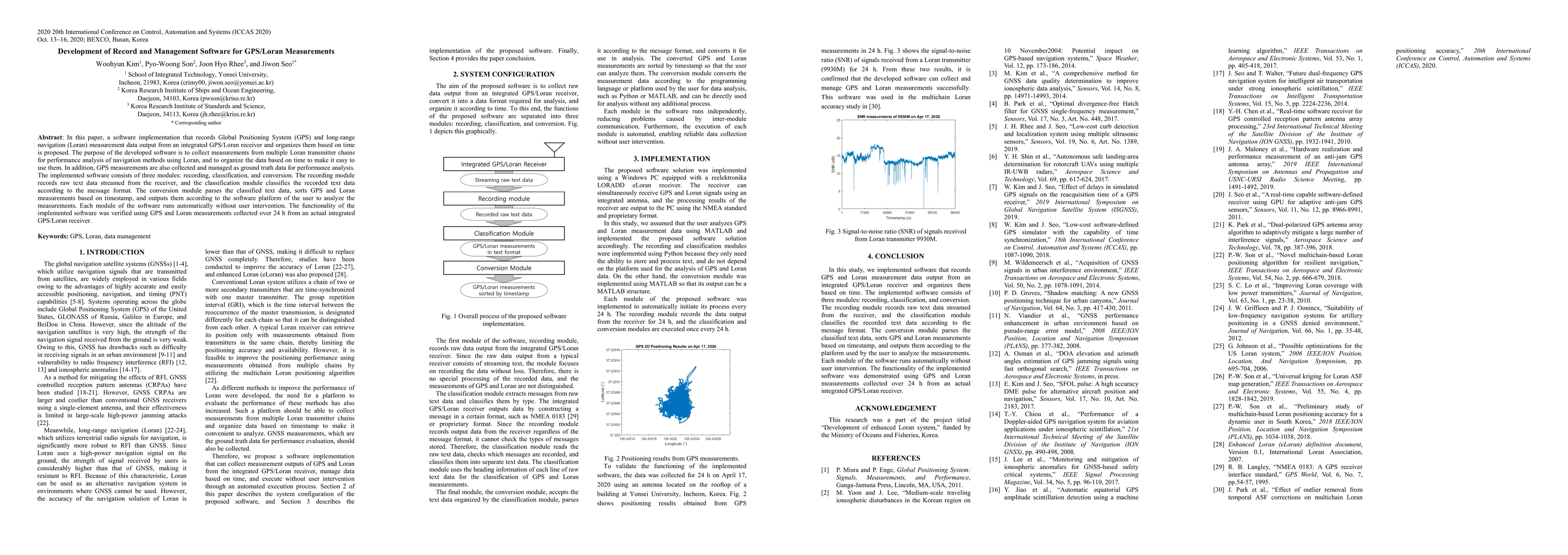
In this paper, a software implementation that records Global Positioning System (GPS) and long-range navigation (Loran) measurement data output from an integrated GPS/Loran receiver and organizes th...
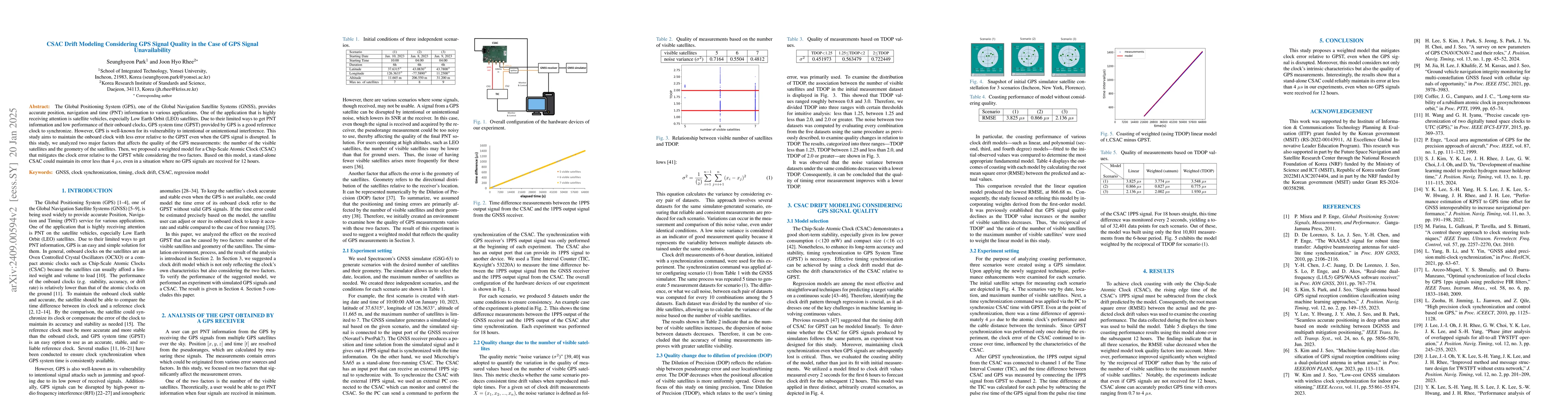
The Global Positioning System (GPS), one of the Global Navigation Satellite Systems (GNSS), provides accurate position, navigation and time (PNT) information to various applications. One of the applic...
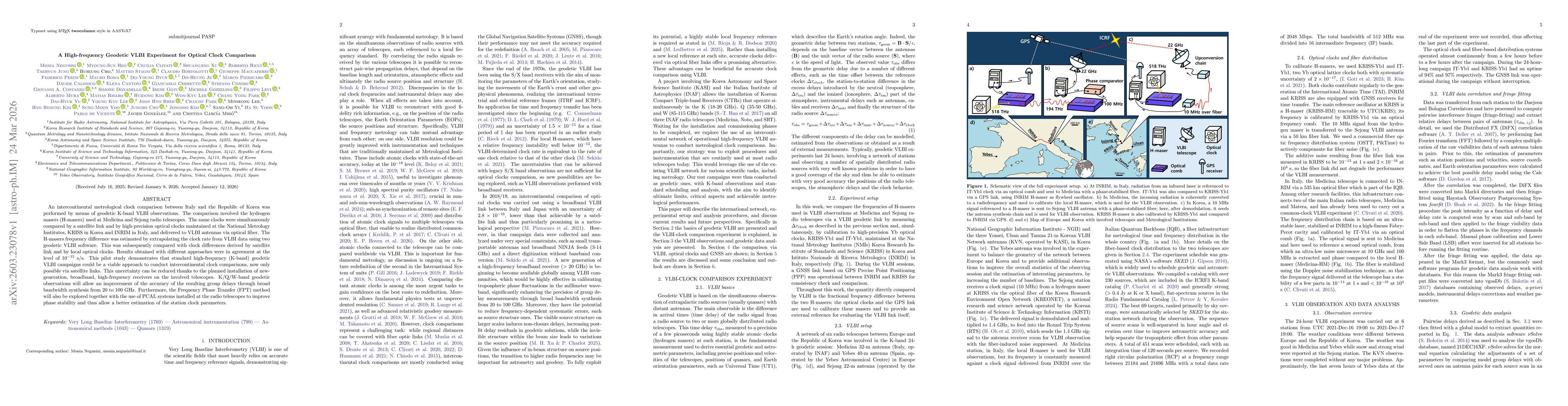
An intercontinental metrological clock comparison between Italy and the Republic of Korea was performed by means of geodetic K-band VLBI observations. The comparison involved the hydrogen masers (H-ma...