Academic Profile
Statistics
Similar Authors
Papers on arXiv
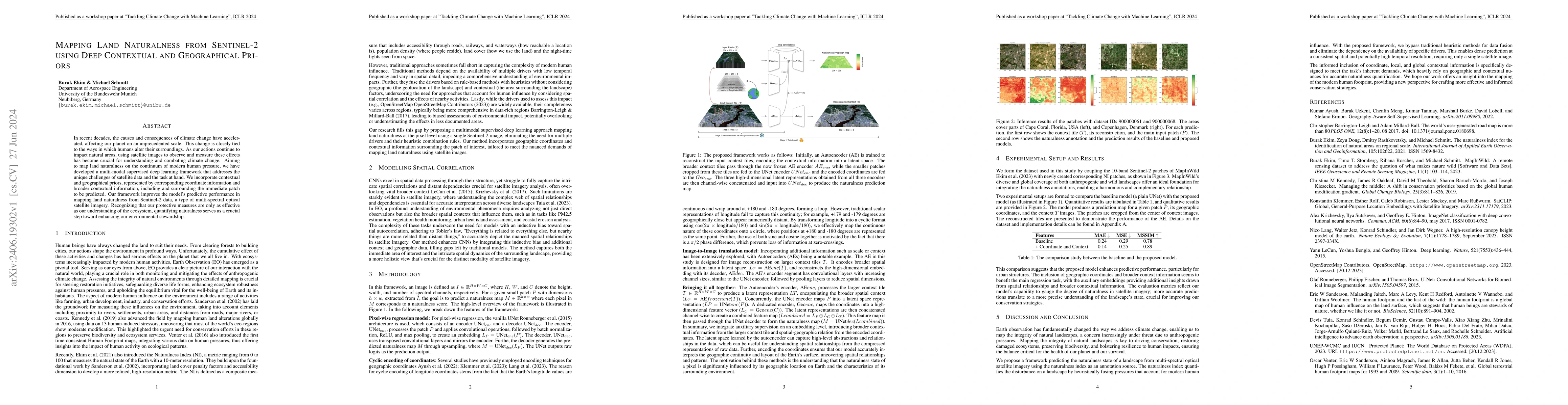
In recent decades, the causes and consequences of climate change have accelerated, affecting our planet on an unprecedented scale. This change is closely tied to the ways in which humans alter their s...
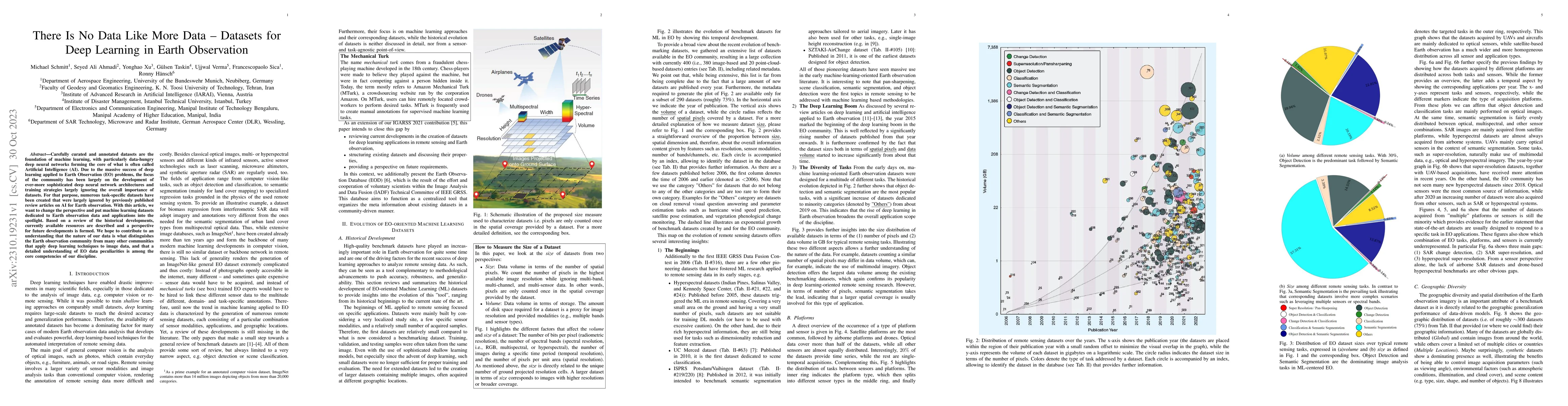
Carefully curated and annotated datasets are the foundation of machine learning, with particularly data-hungry deep neural networks forming the core of what is often called Artificial Intelligence (...
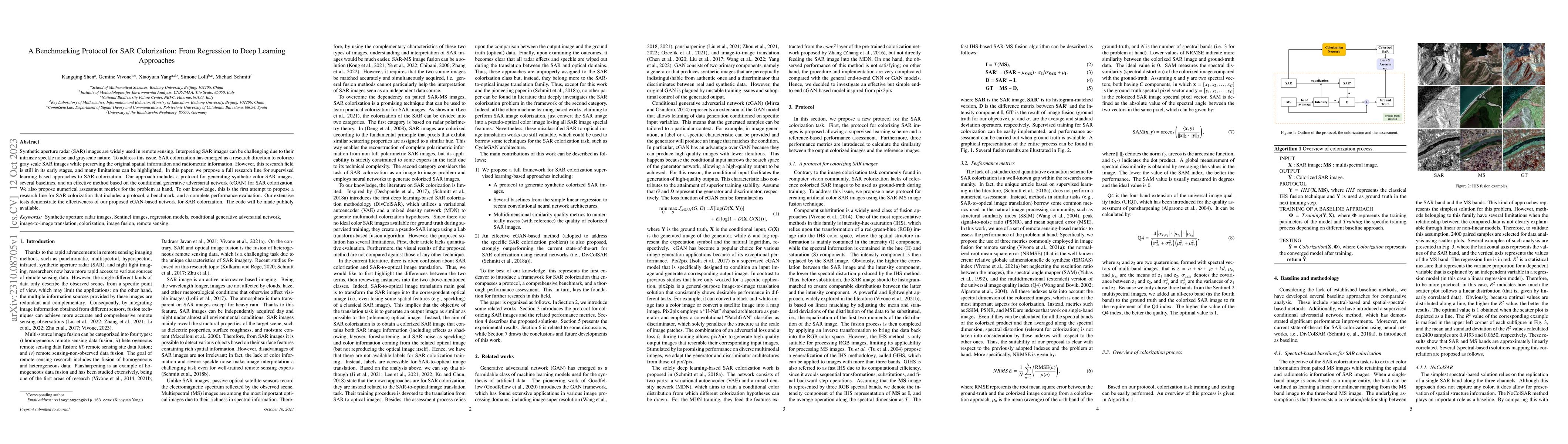
Synthetic aperture radar (SAR) images are widely used in remote sensing. Interpreting SAR images can be challenging due to their intrinsic speckle noise and grayscale nature. To address this issue, ...
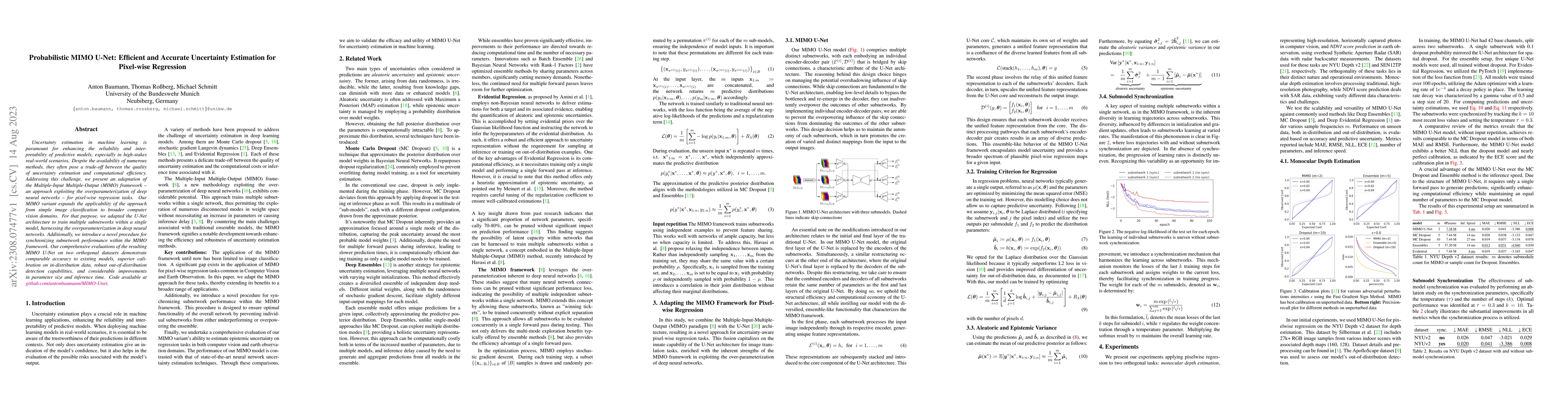
Uncertainty estimation in machine learning is paramount for enhancing the reliability and interpretability of predictive models, especially in high-stakes real-world scenarios. Despite the availabil...
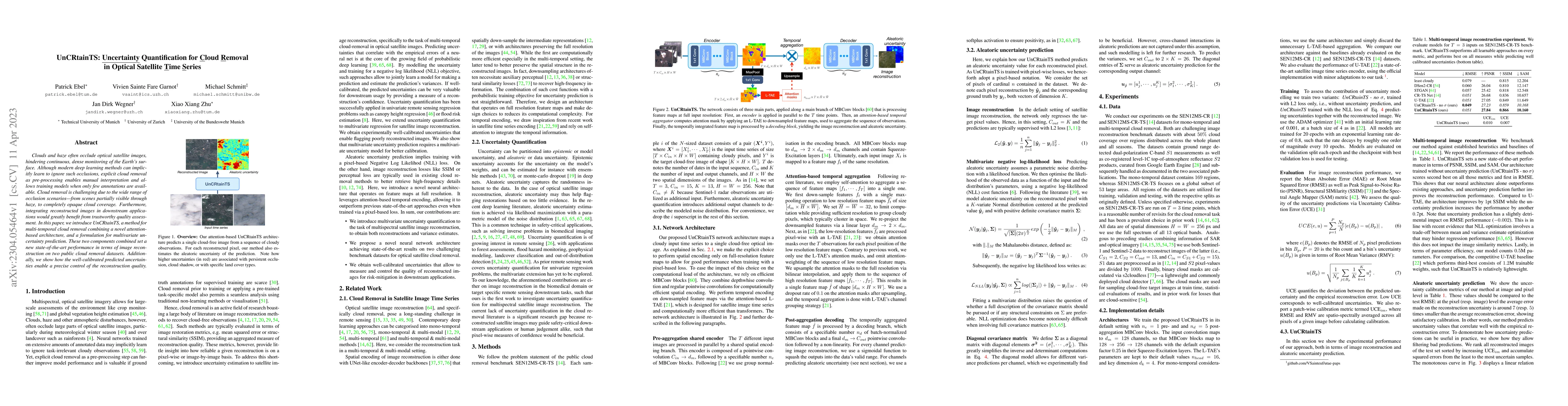
Clouds and haze often occlude optical satellite images, hindering continuous, dense monitoring of the Earth's surface. Although modern deep learning methods can implicitly learn to ignore such occlu...
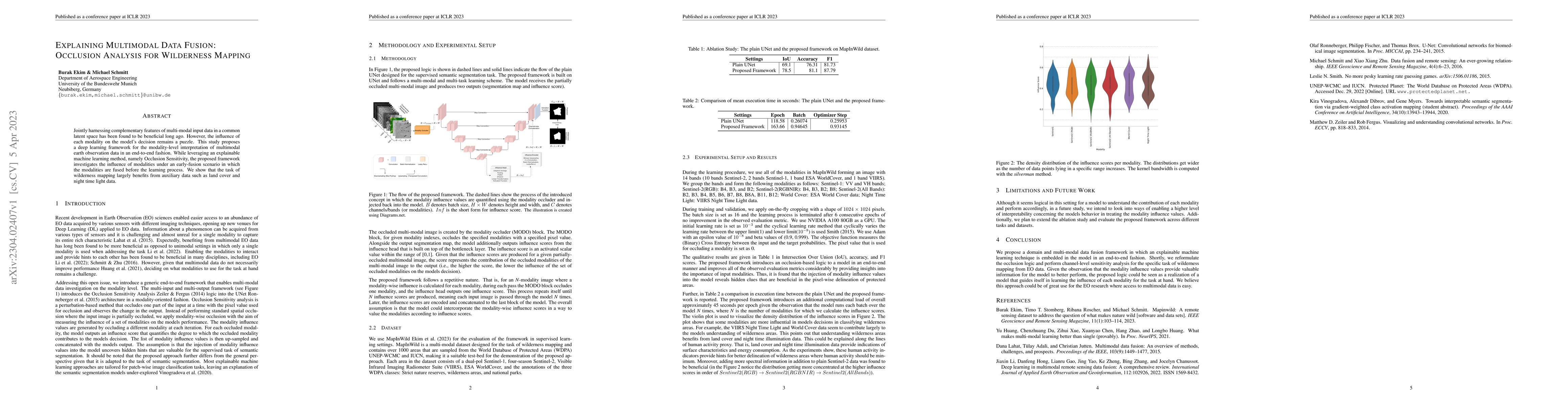
Jointly harnessing complementary features of multi-modal input data in a common latent space has been found to be beneficial long ago. However, the influence of each modality on the models decision ...
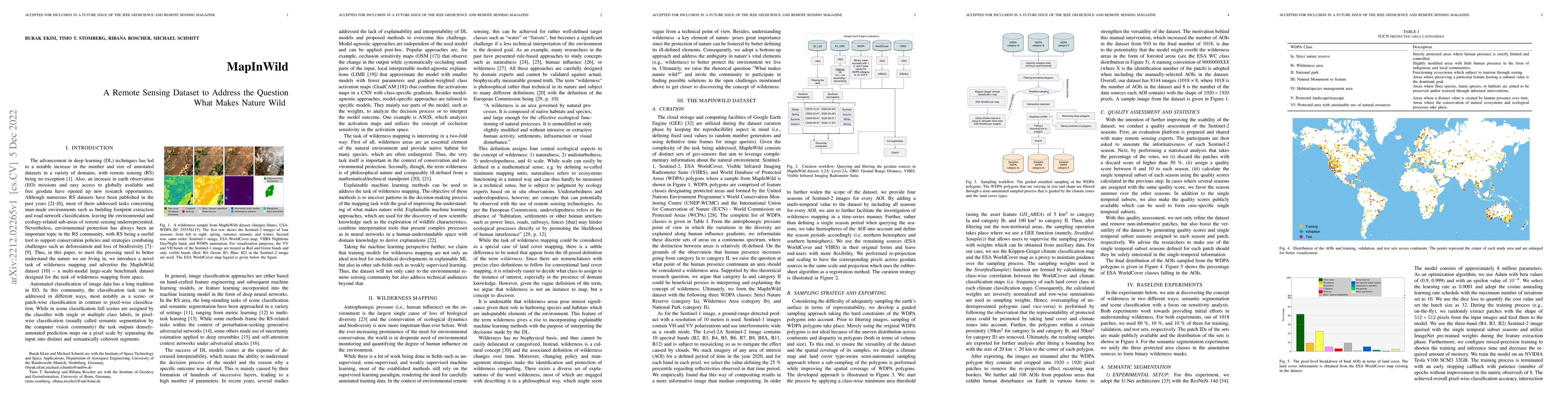
Antrophonegic pressure (i.e. human influence) on the environment is one of the largest causes of the loss of biological diversity. Wilderness areas, in contrast, are home to undisturbed ecological p...
This report, as part of the 2021 Snowmass Process, summarizes the current status of collider physics at the Energy Frontier, the broad and exciting future prospects identified for the Energy Frontie...
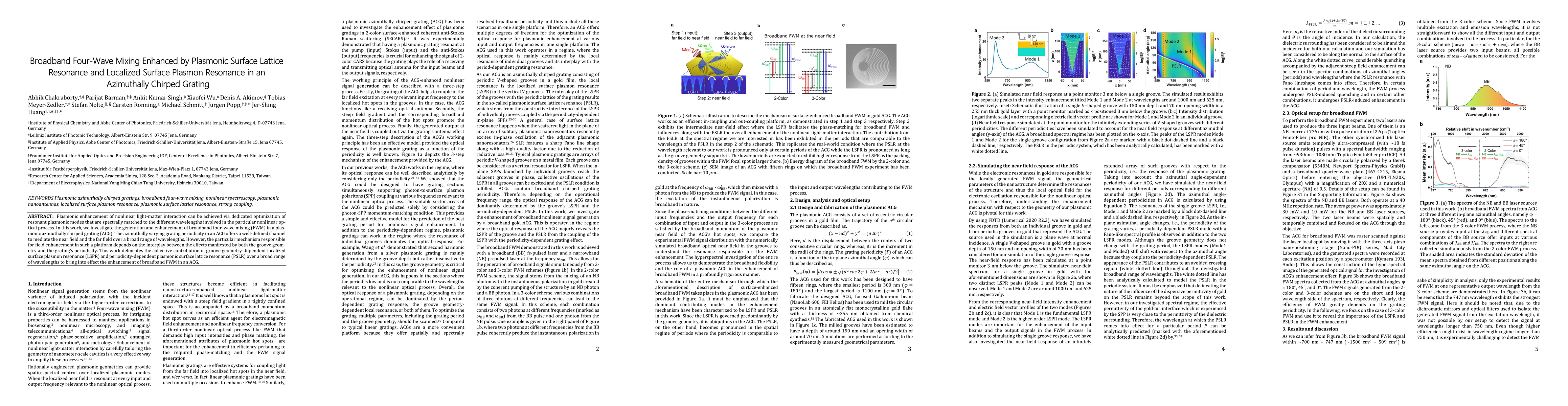
Plasmonic enhancement of nonlinear light-matter interaction can be achieved via dedicated optimization of resonant plasmonic modes that are spectrally matched to the different wavelengths involved i...
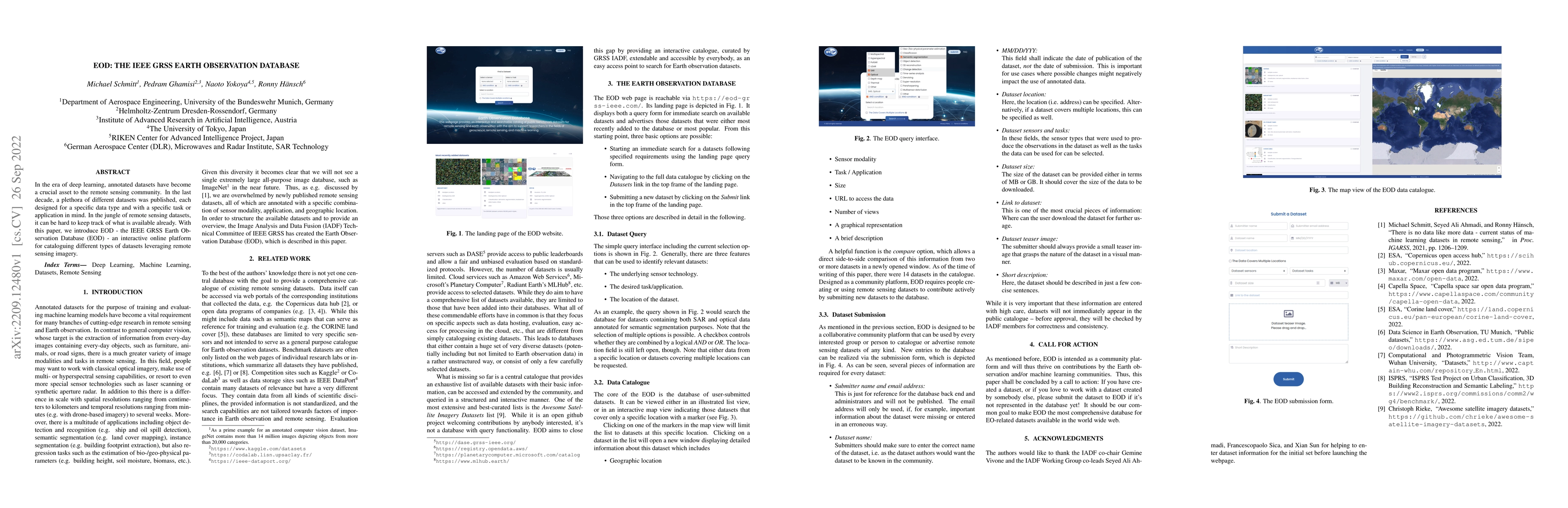
In the era of deep learning, annotated datasets have become a crucial asset to the remote sensing community. In the last decade, a plethora of different datasets was published, each designed for a s...
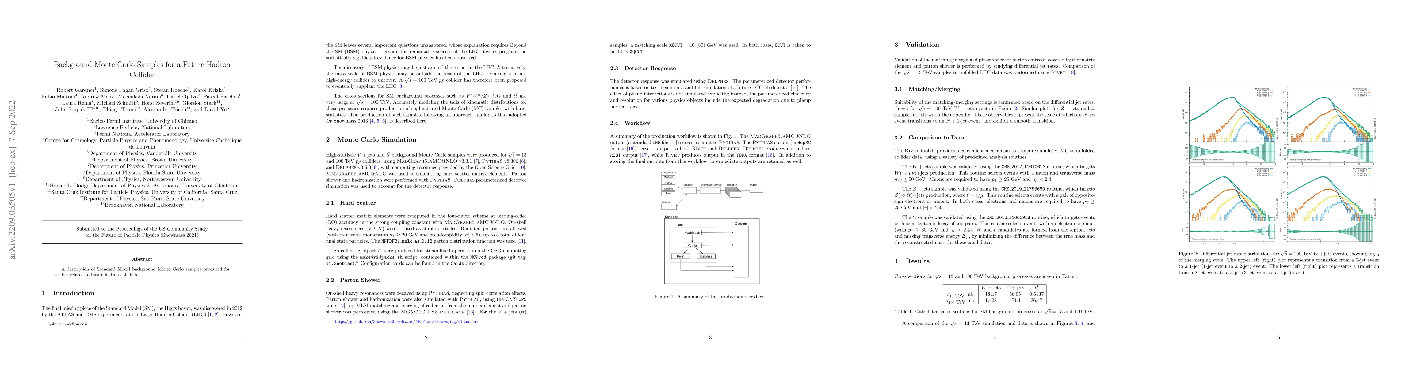
A description of Standard Model background Monte Carlo samples produced for studies related to future hadron colliders.
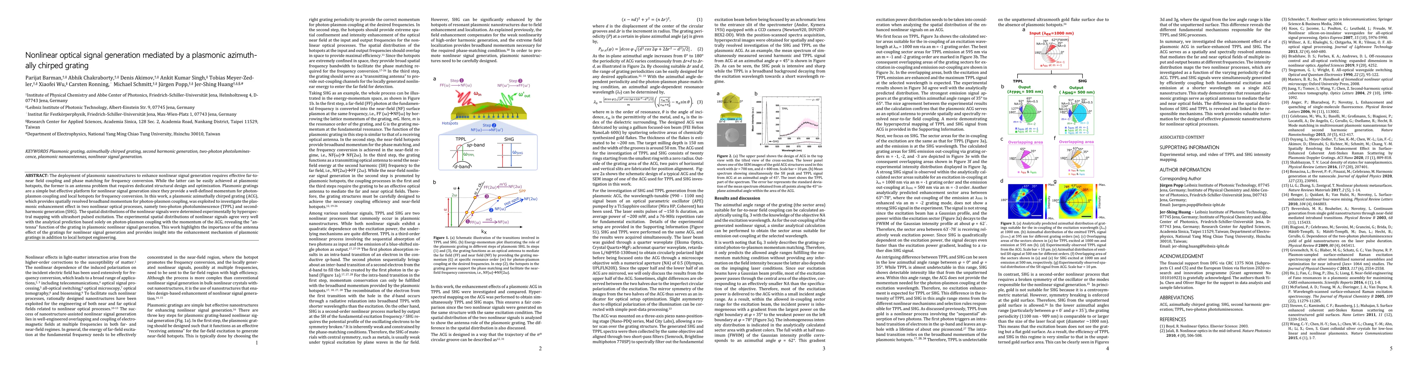
The deployment of plasmonic nanostructures to enhance nonlinear signal generation requires effective far-to-near field coupling and phase matching for frequency conversion. While the latter can be e...
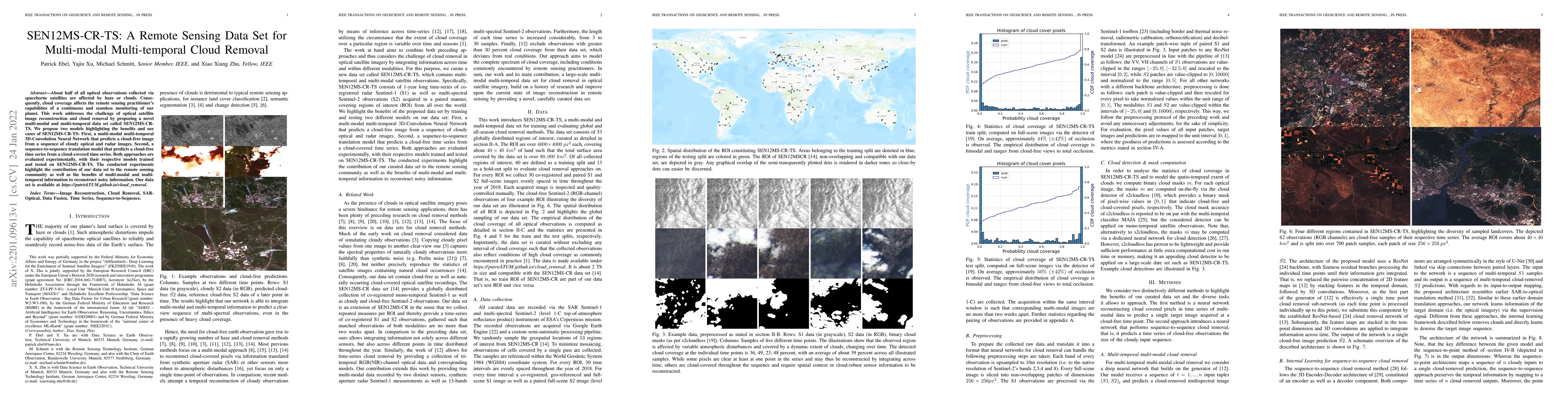
About half of all optical observations collected via spaceborne satellites are affected by haze or clouds. Consequently, cloud coverage affects the remote sensing practitioner's capabilities of a co...
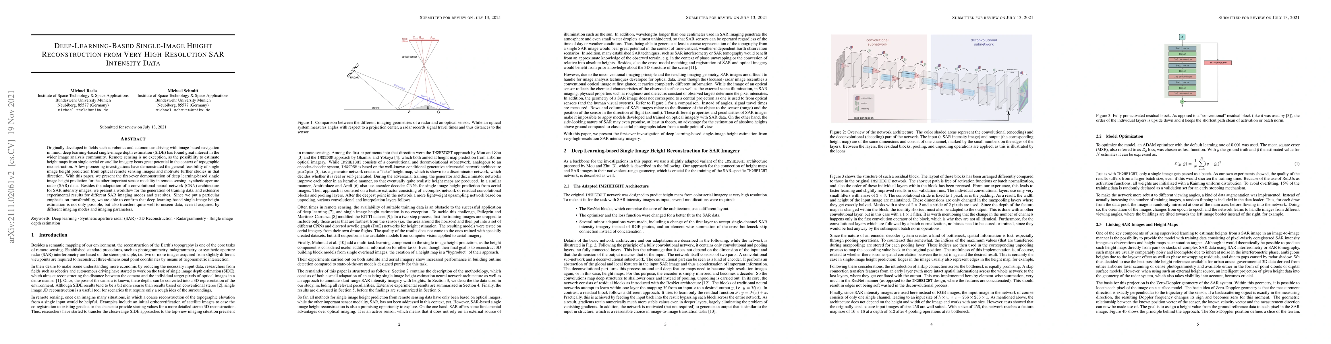
Originally developed in fields such as robotics and autonomous driving with image-based navigation in mind, deep learning-based single-image depth estimation (SIDE) has found great interest in the w...
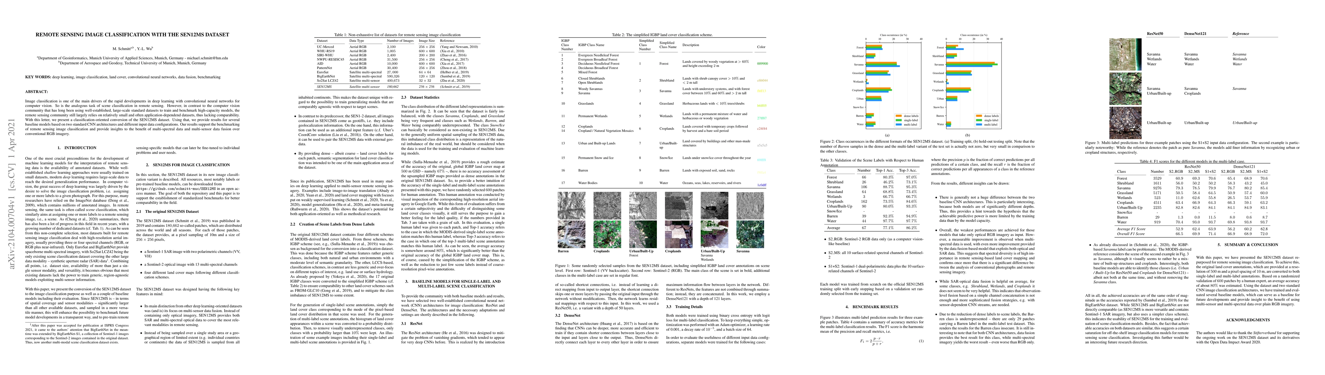
Image classification is one of the main drivers of the rapid developments in deep learning with convolutional neural networks for computer vision. So is the analogous task of scene classification in...
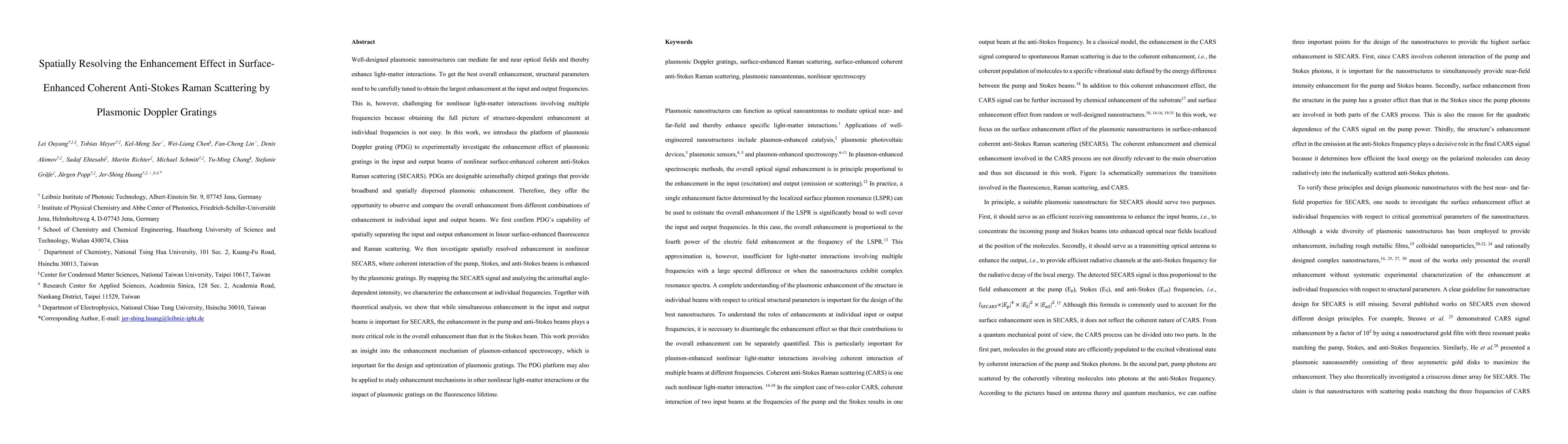
In this work, we introduce the platform of plasmonic Doppler grating (PDG) to experimentally investigate the enhancement effect of plasmonic gratings in the input and output beams of nonlinear surfa...
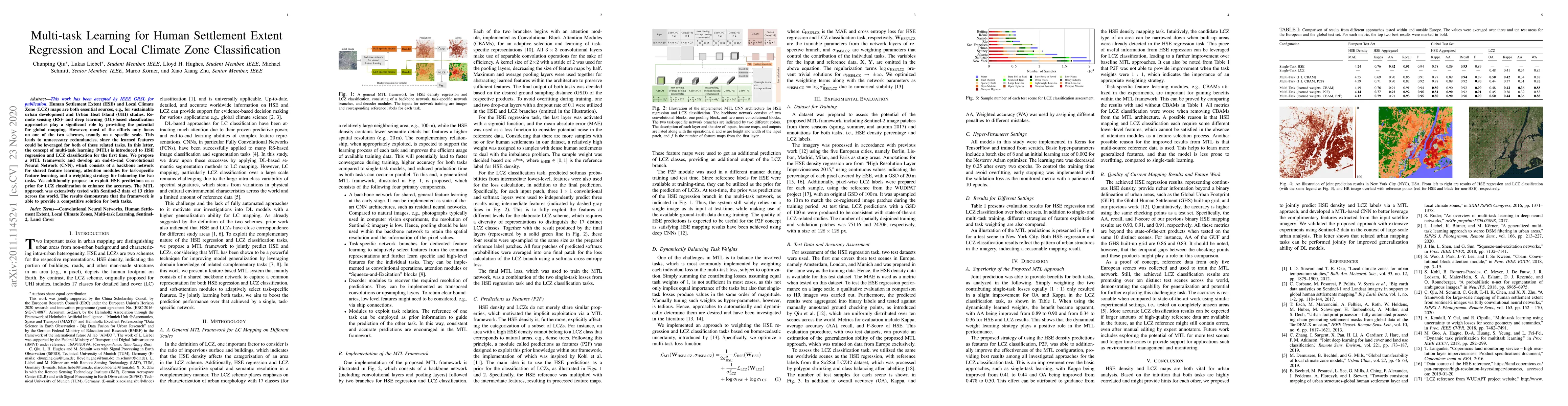
Human Settlement Extent (HSE) and Local Climate Zone (LCZ) maps are both essential sources, e.g., for sustainable urban development and Urban Heat Island (UHI) studies. Remote sensing (RS)- and deep...
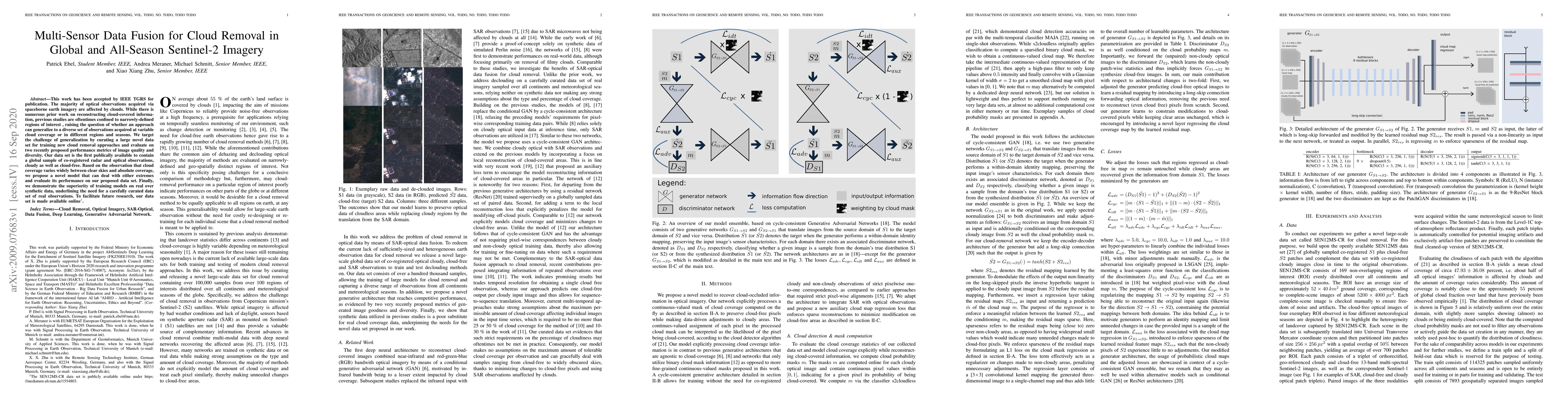
This work has been accepted by IEEE TGRS for publication. The majority of optical observations acquired via spaceborne earth imagery are affected by clouds. While there is numerous prior work on rec...
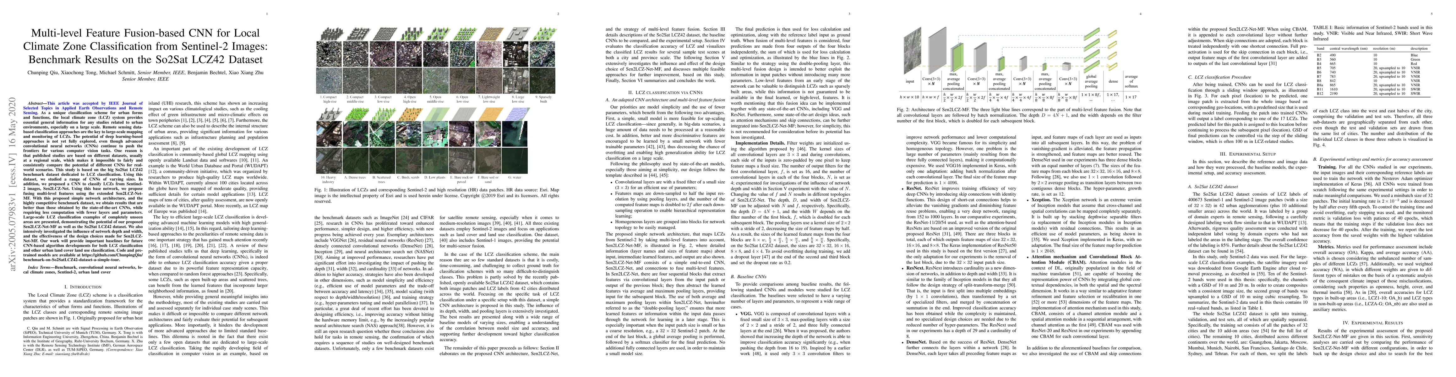
As a unique classification scheme for urban forms and functions, the local climate zone (LCZ) system provides essential general information for any studies related to urban environments, especially ...
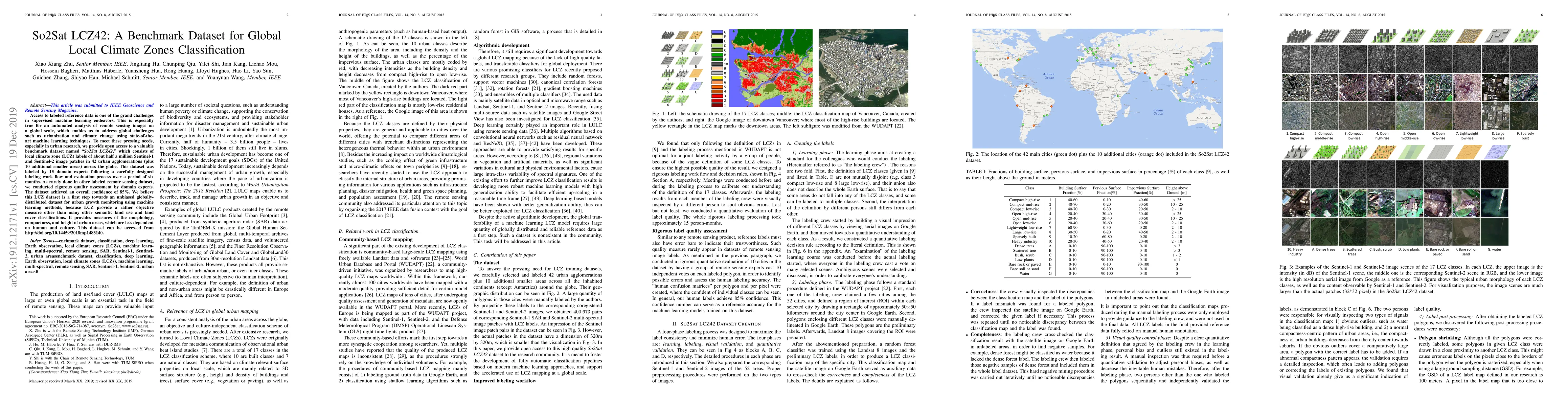
Access to labeled reference data is one of the grand challenges in supervised machine learning endeavors. This is especially true for an automated analysis of remote sensing images on a global scale...
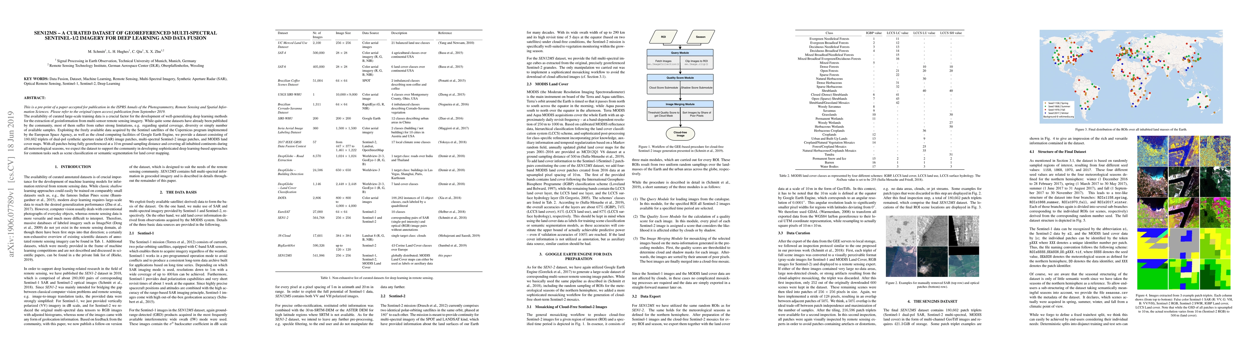
The availability of curated large-scale training data is a crucial factor for the development of well-generalizing deep learning methods for the extraction of geoinformation from multi-sensor remote...
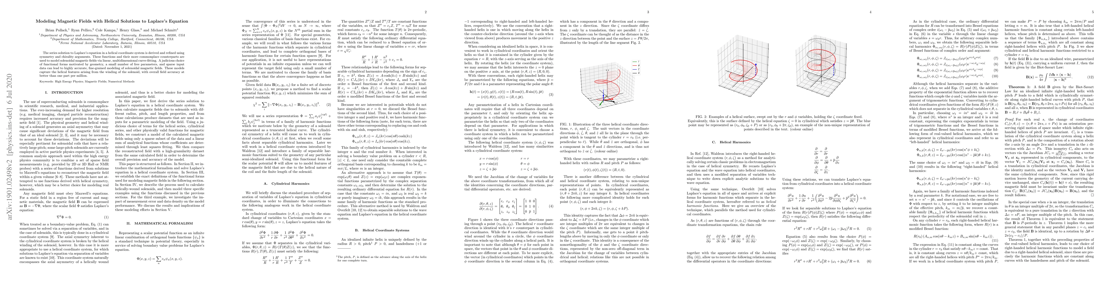
The series solution to Laplace's equation in a helical coordinate system is derived and refined using symmetry and chirality arguments. These functions and their more commonplace counterparts are us...
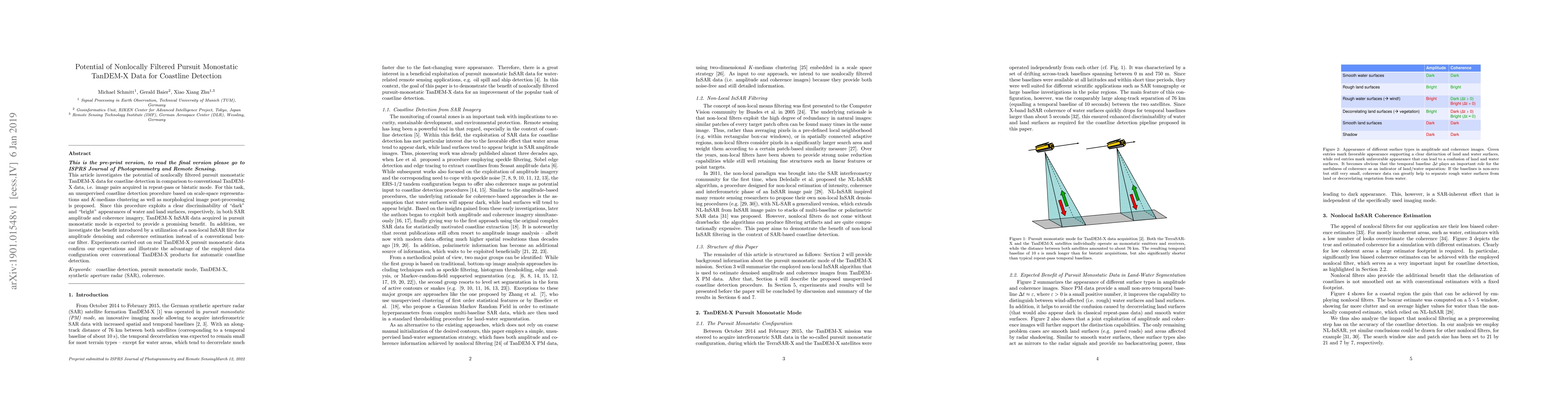
This article investigates the potential of nonlocally filtered pursuit monostatic TanDEM-X data for coastline detection in comparison to conventional TanDEM-X data, i.e. image pairs acquired in repe...
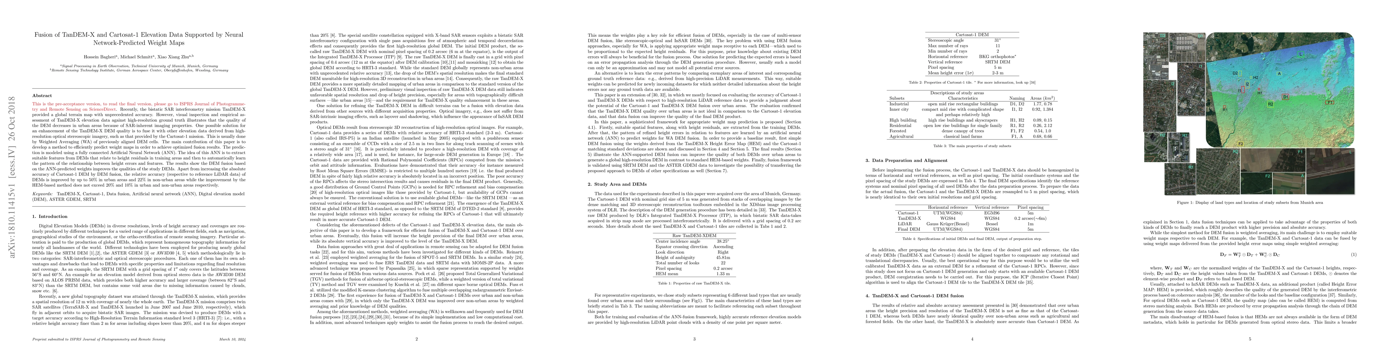
Recently, the bistatic SAR interferometry mission TanDEM-X provided a global terrain map with unprecedented accuracy. However, visual inspection and empirical assessment of TanDEM-X elevation data a...
Currently, numerous remote sensing satellites provide a huge volume of diverse earth observation data. As these data show different features regarding resolution, accuracy, coverage, and spectral im...
Recently, a new global Digital Elevation Model (DEM) with pixel spacing of 0.4 arcseconds and relative height accuracy finer than 2m for flat areas (slopes < 20%) and better than 4m for rugged terra...
The Bayesian Block algorithm, originally developed for applications in astronomy, can be used to improve the binning of histograms in high energy physics. The visual improvement can be dramatic, as ...
This paper introduces SenPa-MAE, a transformer architecture that encodes the sensor parameters of an observed multispectral signal into the image embeddings. SenPa-MAE can be pre-trained on imagery of...
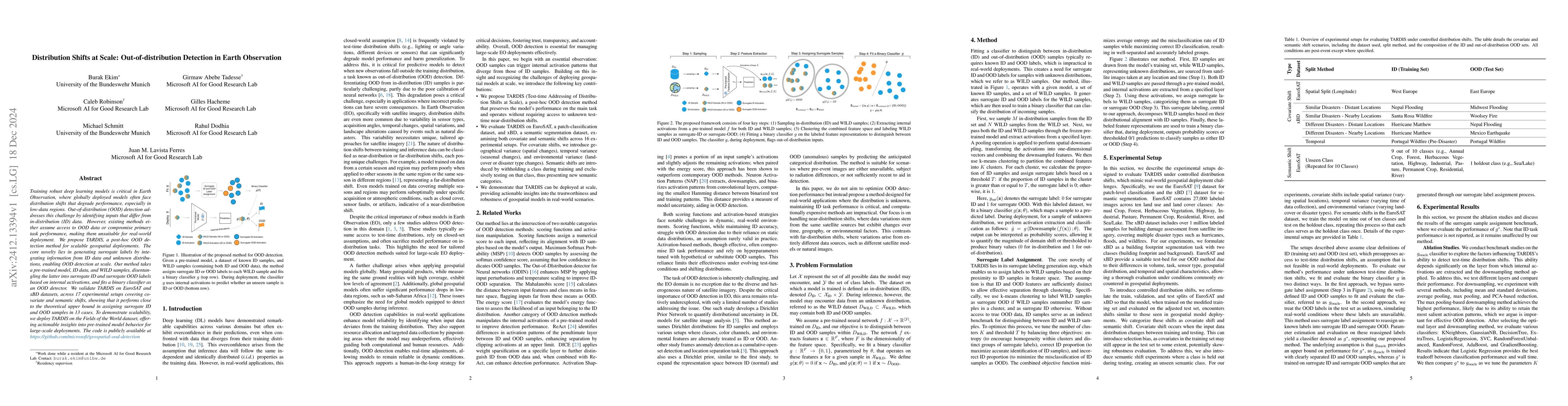
Training robust deep learning models is critical in Earth Observation, where globally deployed models often face distribution shifts that degrade performance, especially in low-data regions. Out-of-di...
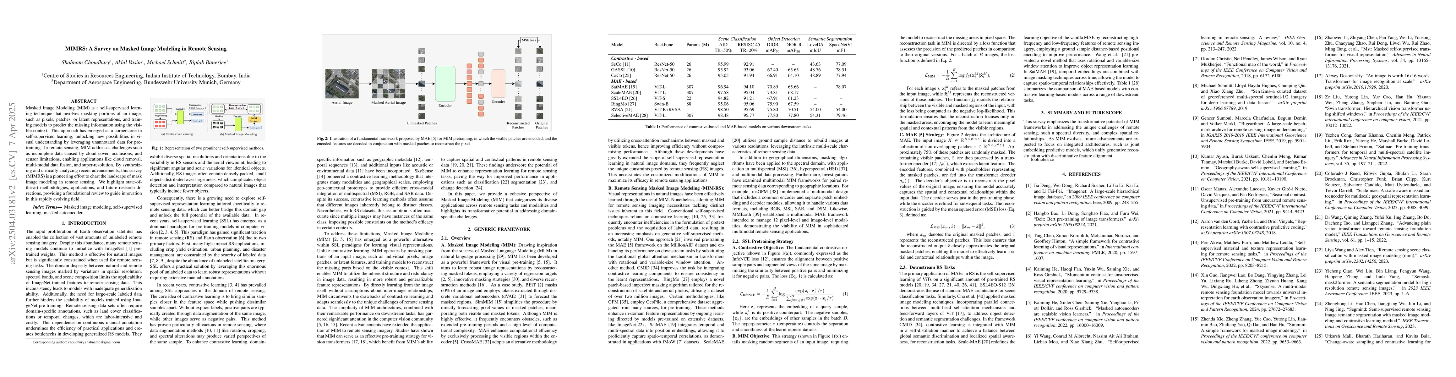
Masked Image Modeling (MIM) is a self-supervised learning technique that involves masking portions of an image, such as pixels, patches, or latent representations, and training models to predict the m...
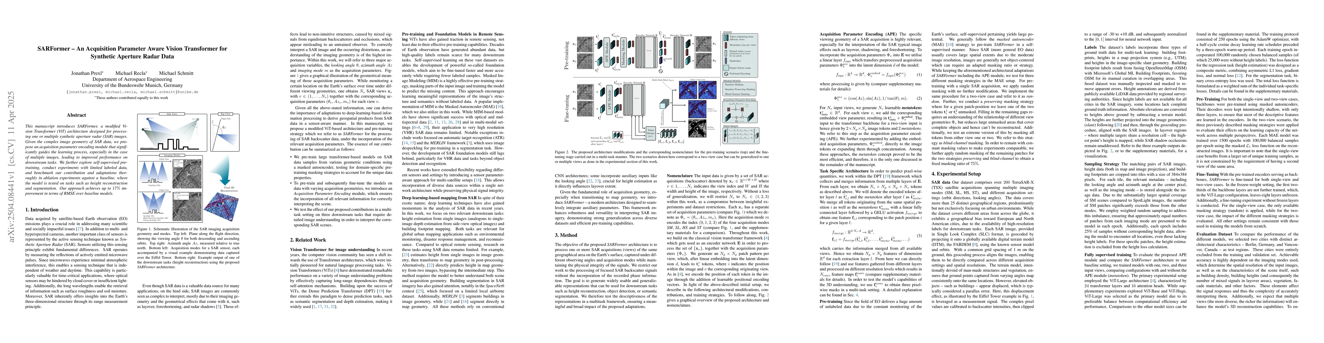
This manuscript introduces SARFormer, a modified Vision Transformer (ViT) architecture designed for processing one or multiple synthetic aperture radar (SAR) images. Given the complex image geometry o...
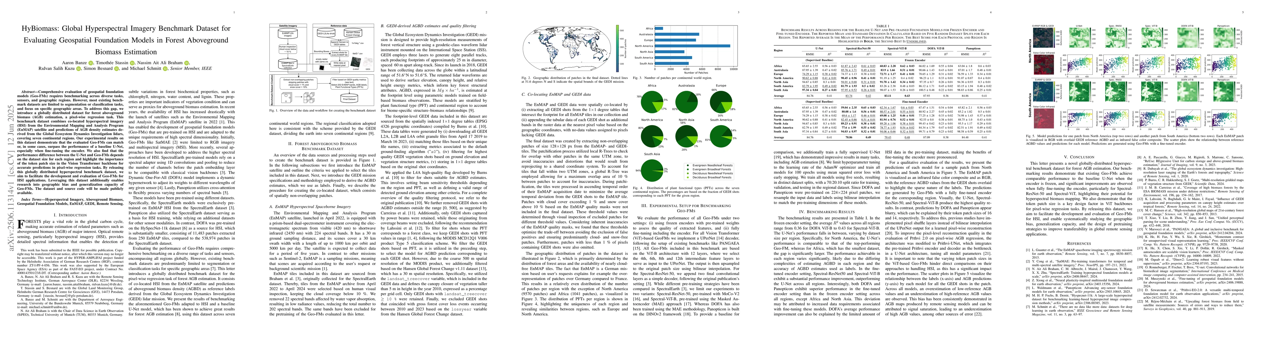
Comprehensive evaluation of geospatial foundation models (Geo-FMs) requires benchmarking across diverse tasks, sensors, and geographic regions. However, most existing benchmark datasets are limited to...
In the interdisciplinary field of microscopy research, managing and integrating large volumes of data stored across disparate platforms remains a major challenge. Data types such as bioimages, experim...
In this work, we present LIANet (Location Is All You Need Network), a coordinate-based neural representation that models multi-temporal spaceborne Earth observation (EO) data for a given region of int...
Synthetic Aperture Radar (SAR) plays a critical role in maritime surveillance, yet deep learning for SAR analysis is limited by the lack of pixel-level annotations. This paper explores how general-pur...
In this work, we propose a deep learning framework for coherence regression directly from detected SAR images, without the need for accurate coregistration. A Residual U-Net is trained using coherence...
We demonstrate an iterative approach to modeling a sparsely measured magnetic field in a large-bore solenoid. This approach uses a hybrid of traditional and machine learning techniques. The traditiona...