Academic Profile
Statistics
Similar Authors
Papers on arXiv
In this paper, we emphasise the critical importance of large-scale datasets for advancing field robotics capabilities, particularly in natural environments. While numerous datasets exist for urban a...
Recent progress in semantic scene understanding has primarily been enabled by the availability of semantically annotated bi-modal (camera and lidar) datasets in urban environments. However, such ann...
This paper proposes a pose-graph attentional graph neural network, called P-GAT, which compares (key)nodes between sequential and non-sequential sub-graphs for place recognition tasks as opposed to ...
Some animals exhibit multi-modal locomotion capability to traverse a wide range of terrains and environments, such as amphibians that can swim and walk or birds that can fly and walk. This capabilit...
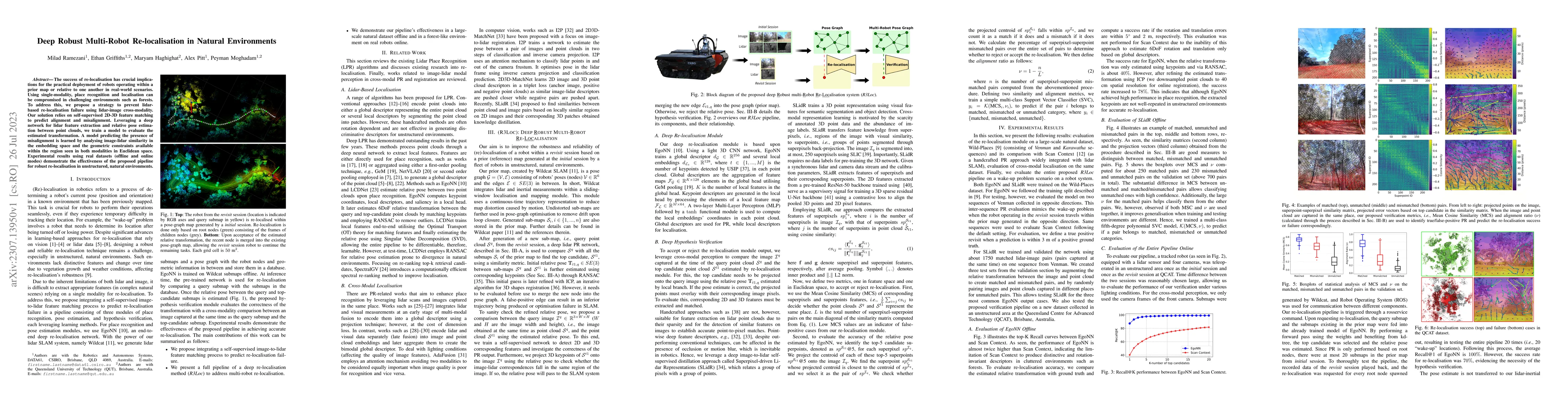
The success of re-localisation has crucial implications for the practical deployment of robots operating within a prior map or relative to one another in real-world scenarios. Using single-modality,...
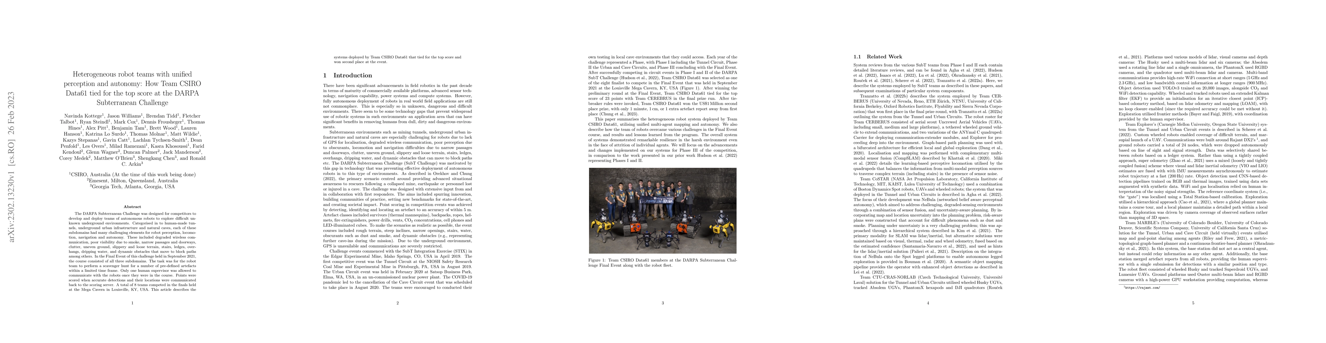
The DARPA Subterranean Challenge was designed for competitors to develop and deploy teams of autonomous robots to explore difficult unknown underground environments. Categorised in to human-made tun...
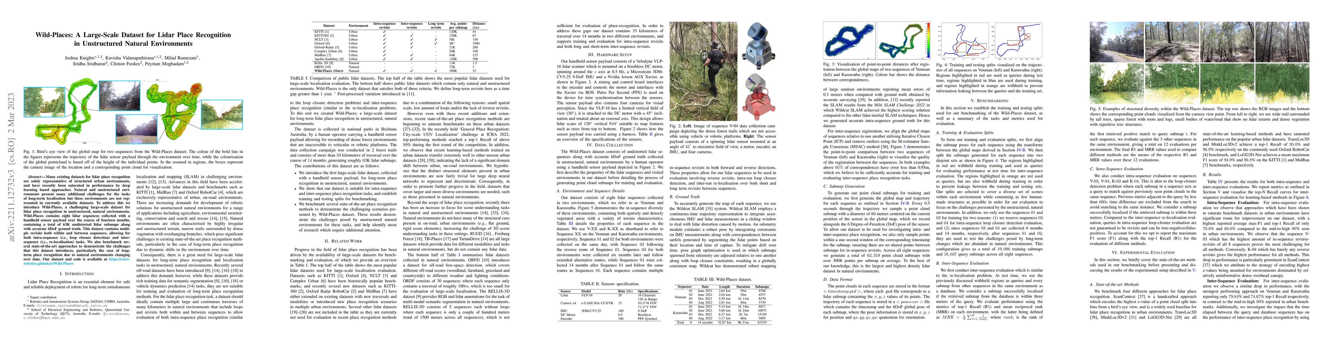
Many existing datasets for lidar place recognition are solely representative of structured urban environments, and have recently been saturated in performance by deep learning based approaches. Natu...
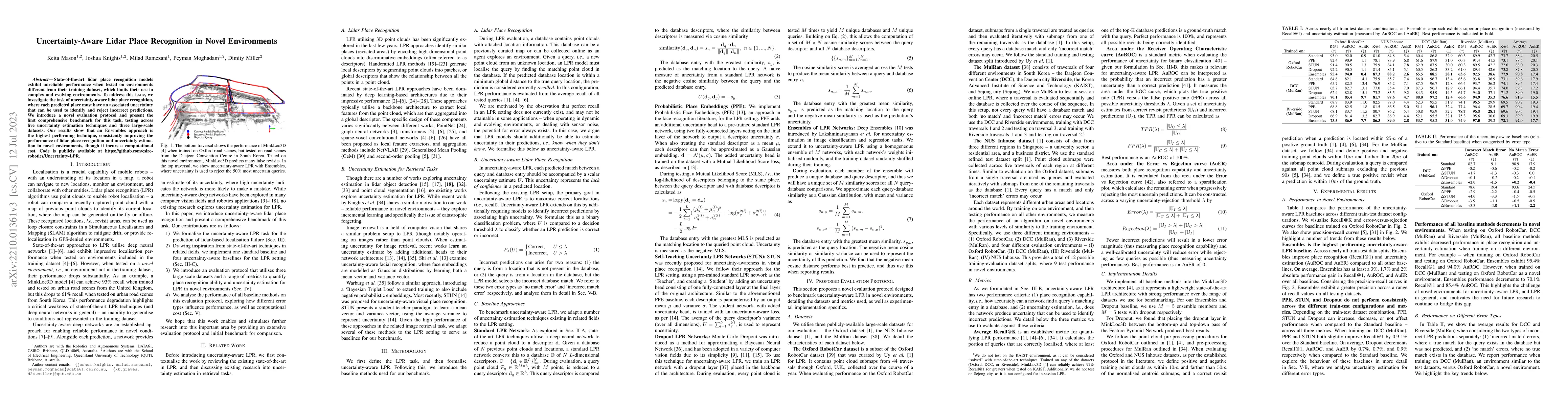
State-of-the-art lidar place recognition models exhibit unreliable performance when tested on environments different from their training dataset, which limits their use in complex and evolving envir...
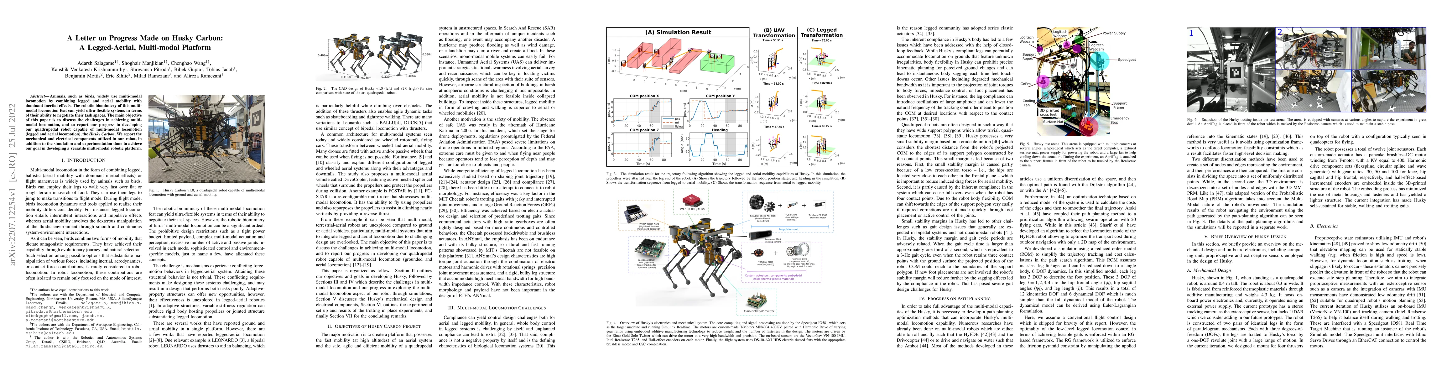
Animals, such as birds, widely use multi-modal locomotion by combining legged and aerial mobility with dominant inertial effects. The robotic biomimicry of this multi-modal locomotion feat can yield...
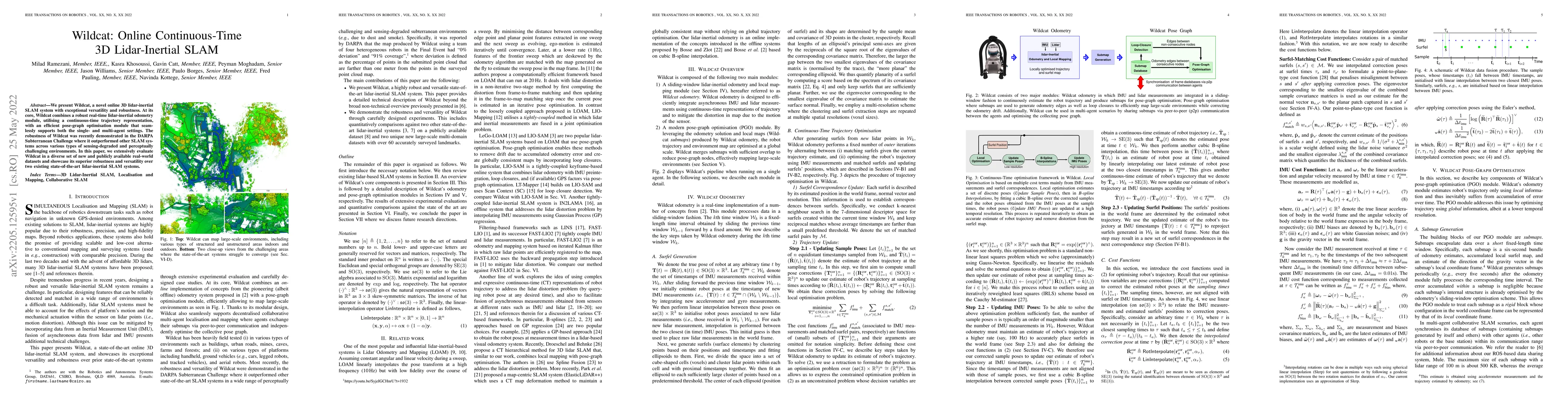
We present Wildcat, a novel online 3D lidar-inertial SLAM system with exceptional versatility and robustness. At its core, Wildcat combines a robust real-time lidar-inertial odometry module, utilisi...
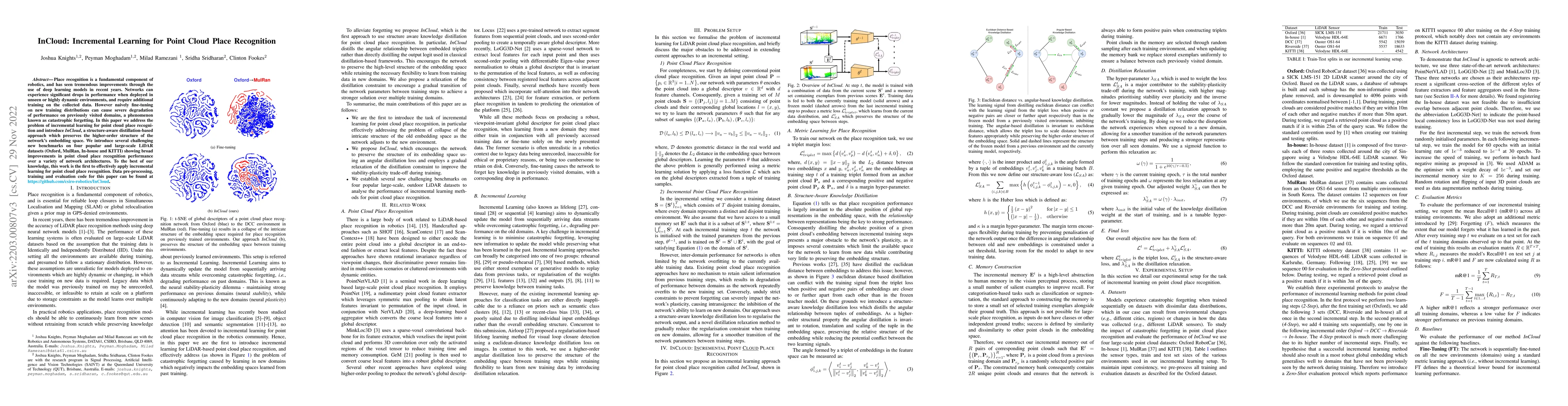
Place recognition is a fundamental component of robotics, and has seen tremendous improvements through the use of deep learning models in recent years. Networks can experience significant drops in p...
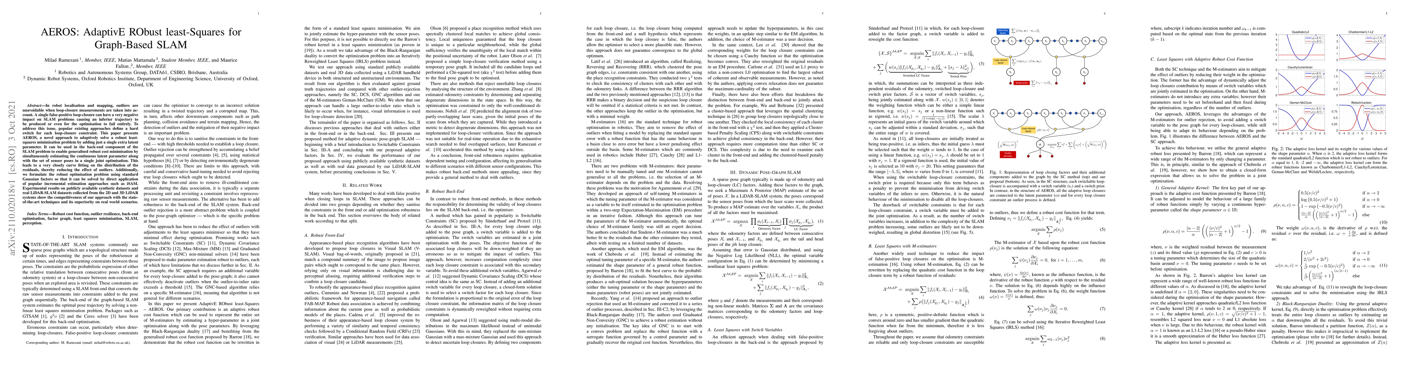
In robot localisation and mapping, outliers are unavoidable when loop-closure measurements are taken into account. A single false-positive loop-closure can have a very negative impact on SLAM proble...
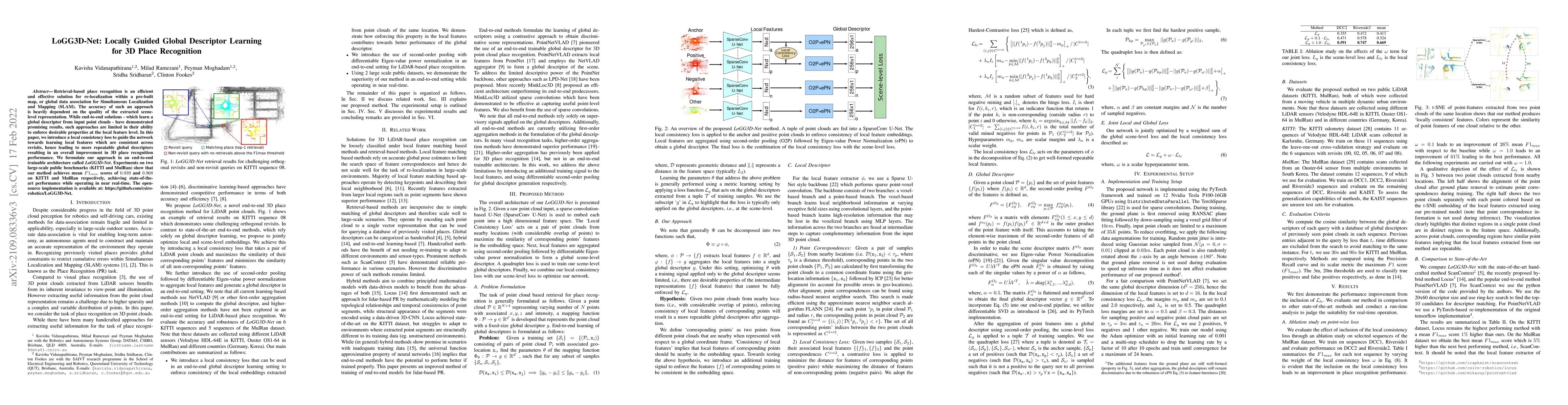
Retrieval-based place recognition is an efficient and effective solution for re-localization within a pre-built map, or global data association for Simultaneous Localization and Mapping (SLAM). The ...
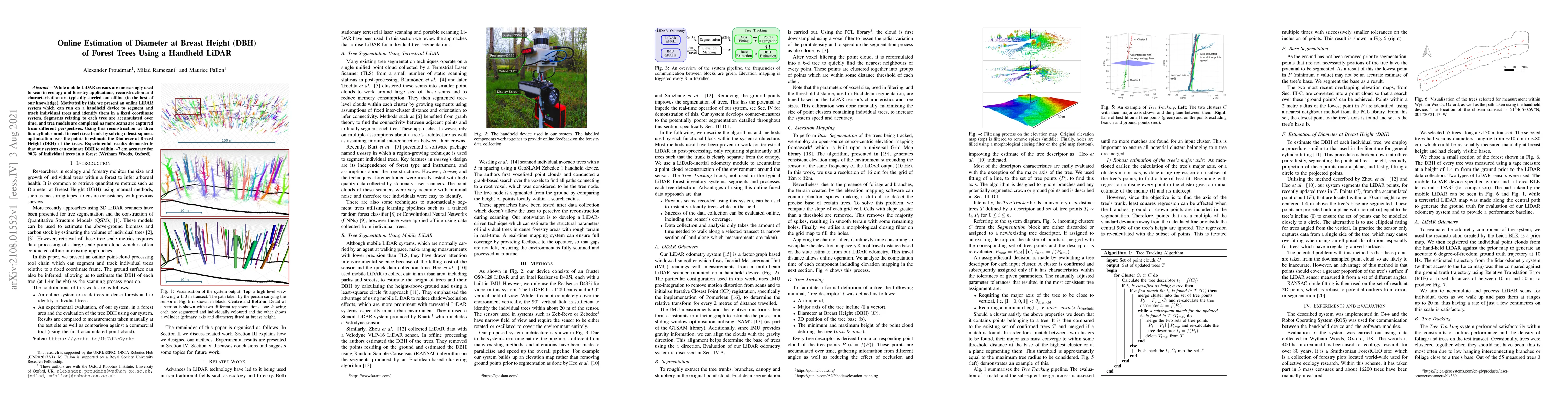
While mobile LiDAR sensors are increasingly used to scan in ecology and forestry applications, reconstruction and characterisation are typically carried out offline (to the best of our knowledge). M...
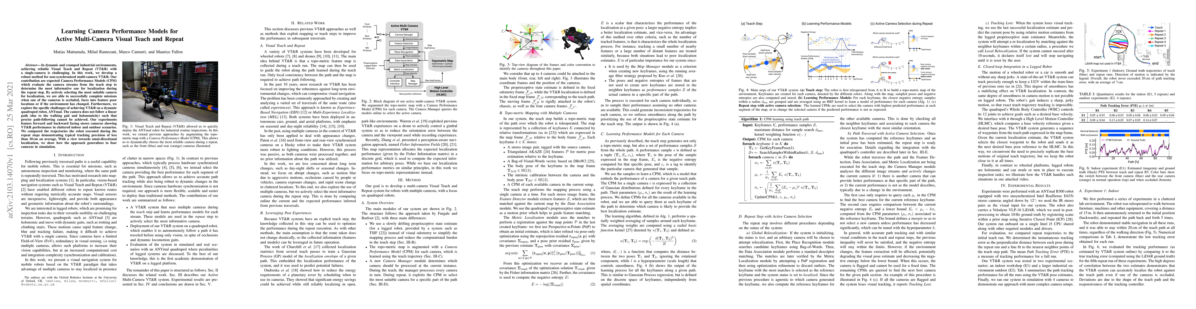
In dynamic and cramped industrial environments, achieving reliable Visual Teach and Repeat (VT&R) with a single-camera is challenging. In this work, we develop a robust method for non-synchronized m...
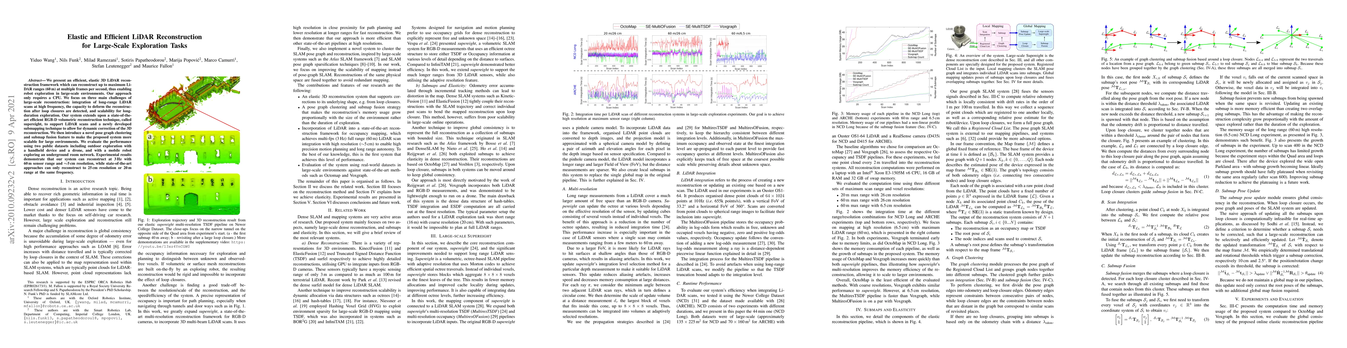
We present an efficient, elastic 3D LiDAR reconstruction framework which can reconstruct up to maximum LiDAR ranges (60 m) at multiple frames per second, thus enabling robot exploration in large-sca...
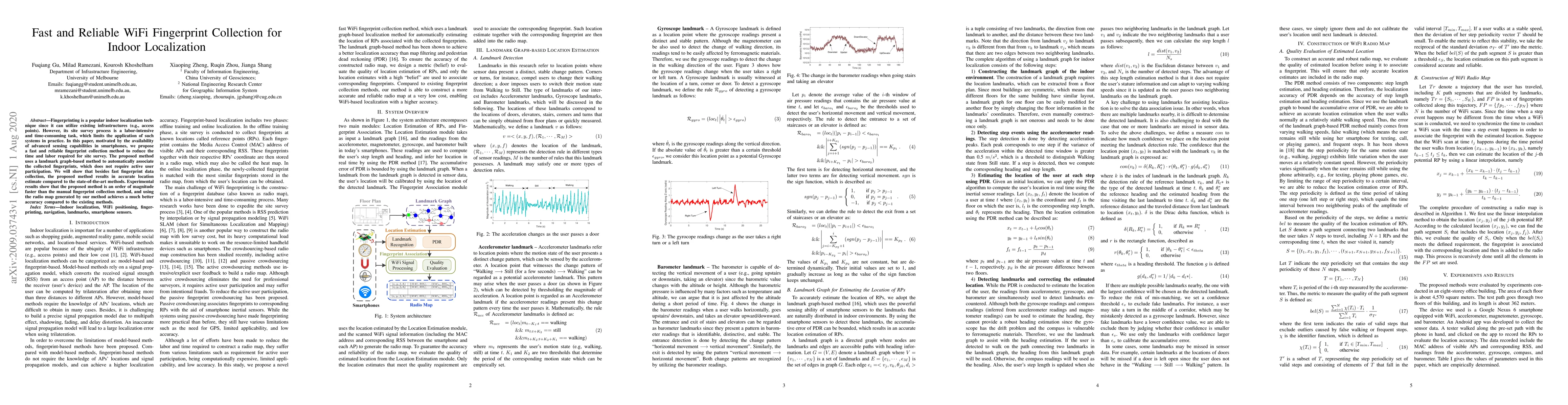
Fingerprinting is a popular indoor localization technique since it can utilize existing infrastructures (e.g., access points). However, its site survey process is a labor-intensive and time-consumin...
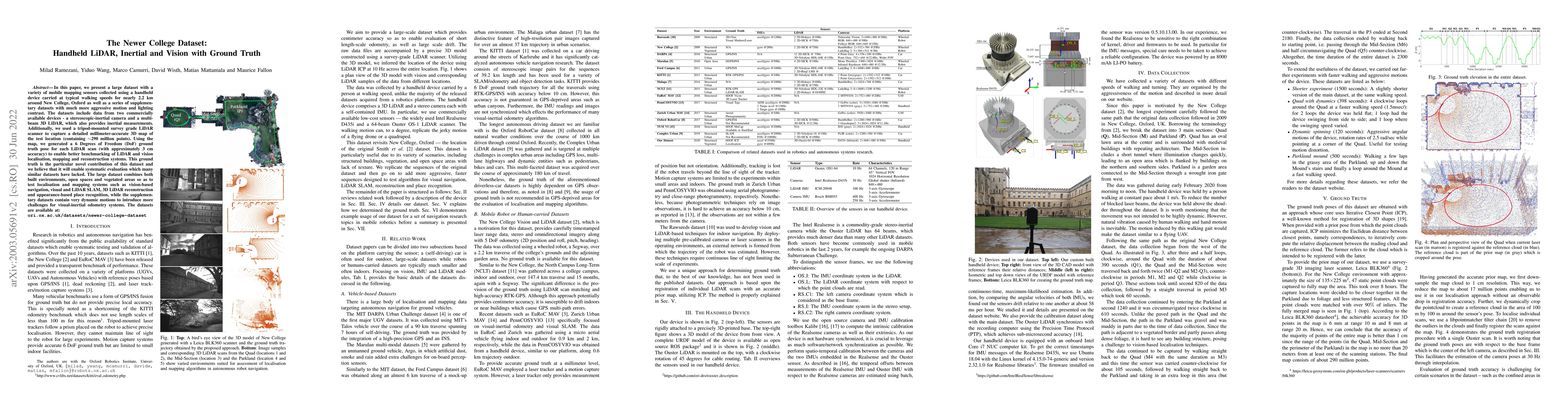
In this paper we present a large dataset with a variety of mobile mapping sensors collected using a handheld device carried at typical walking speeds for nearly 2.2 km through New College, Oxford. T...
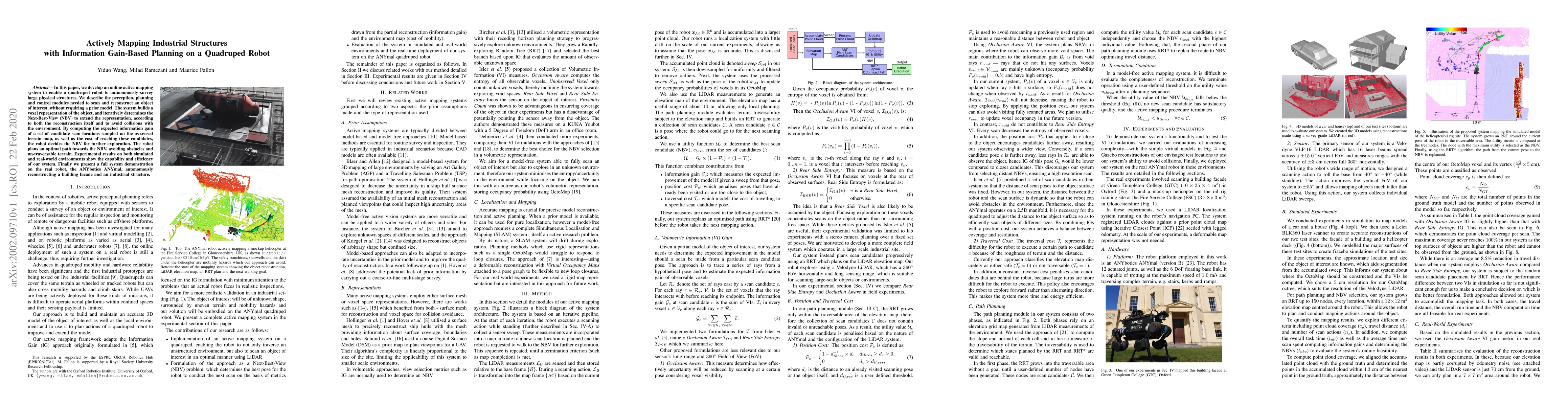
In this paper, we develop an online active mapping system to enable a quadruped robot to autonomously survey large physical structures. We describe the perception, planning and control modules neede...
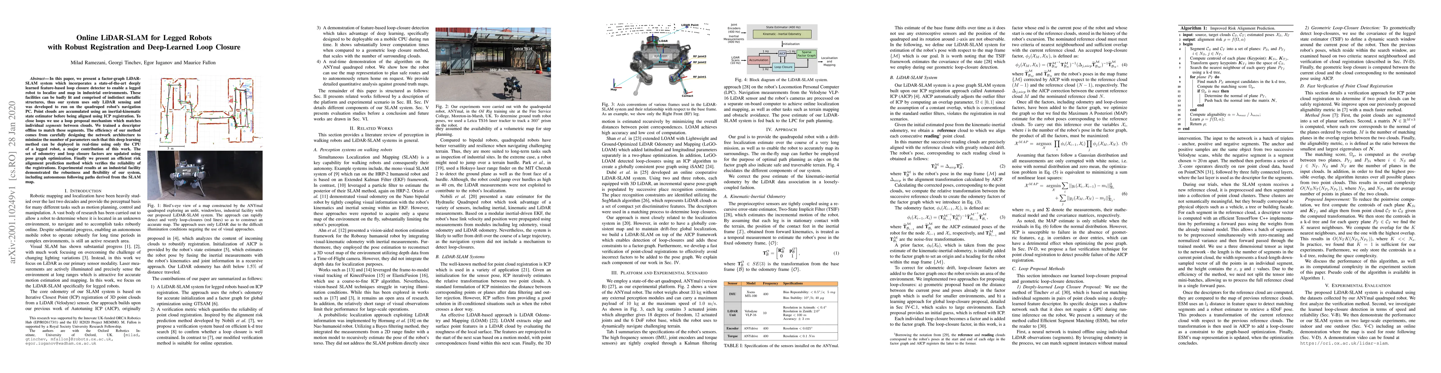
In this paper, we present a factor-graph LiDAR-SLAM system which incorporates a state-of-the-art deeply learned feature-based loop closure detector to enable a legged robot to localize and map in in...
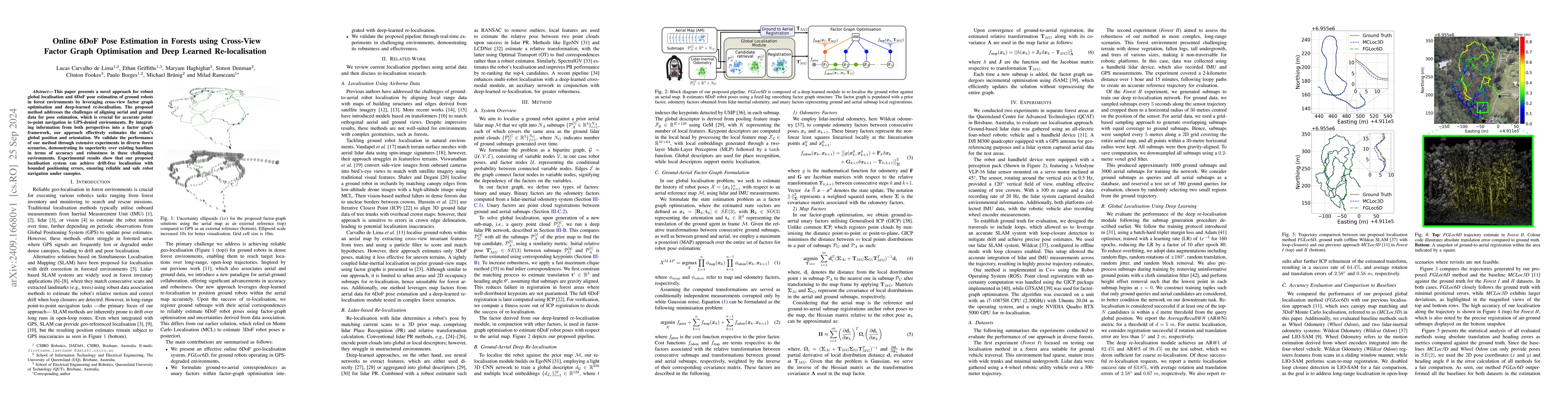
This paper presents a novel approach for robust global localisation and 6DoF pose estimation of ground robots in forest environments by leveraging cross-view factor graph optimisation and deep-learned...
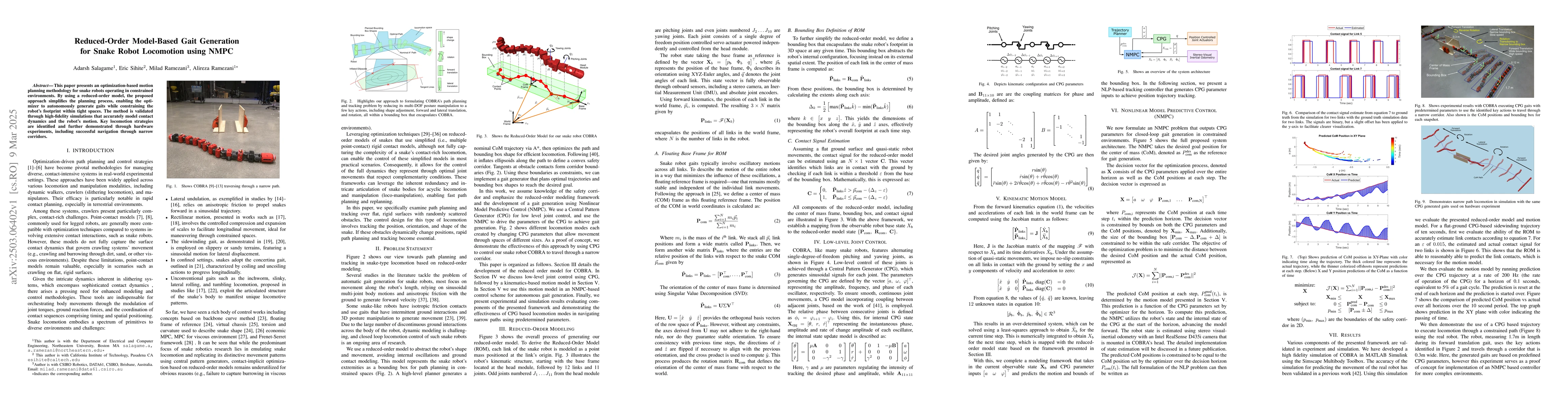
This paper presents an optimization-based motion planning methodology for snake robots operating in constrained environments. By using a reduced-order model, the proposed approach simplifies the plann...
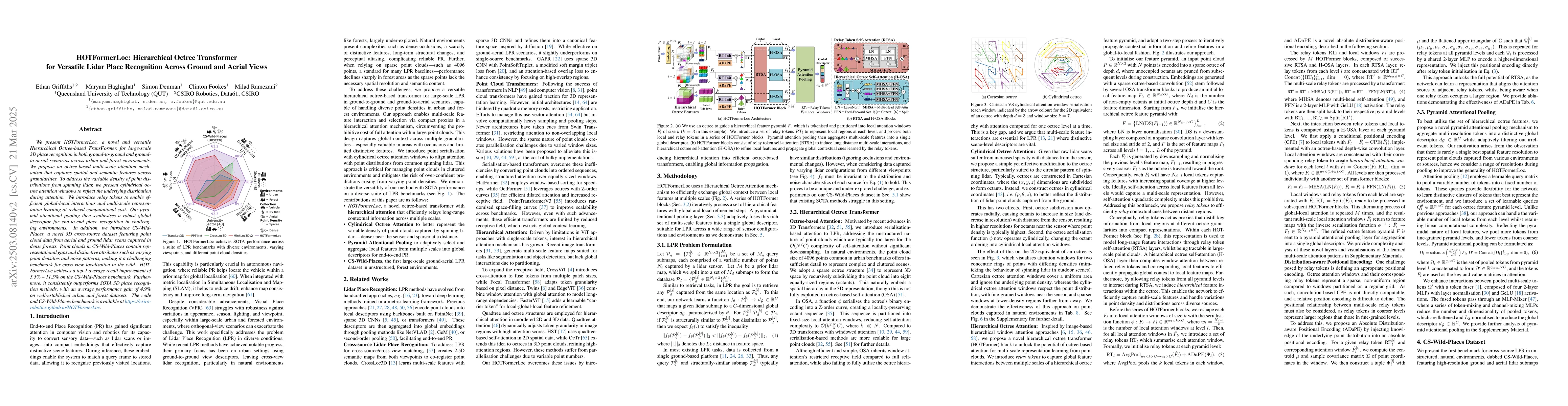
We present HOTFormerLoc, a novel and versatile Hierarchical Octree-based TransFormer, for large-scale 3D place recognition in both ground-to-ground and ground-to-aerial scenarios across urban and fore...
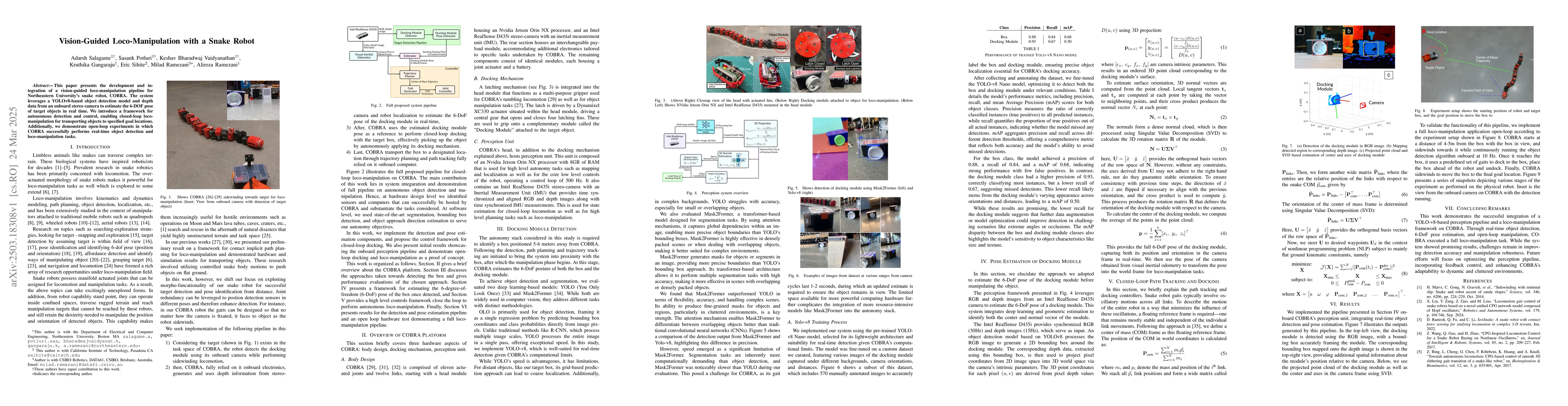
This paper presents the development and integration of a vision-guided loco-manipulation pipeline for Northeastern University's snake robot, COBRA. The system leverages a YOLOv8-based object detection...
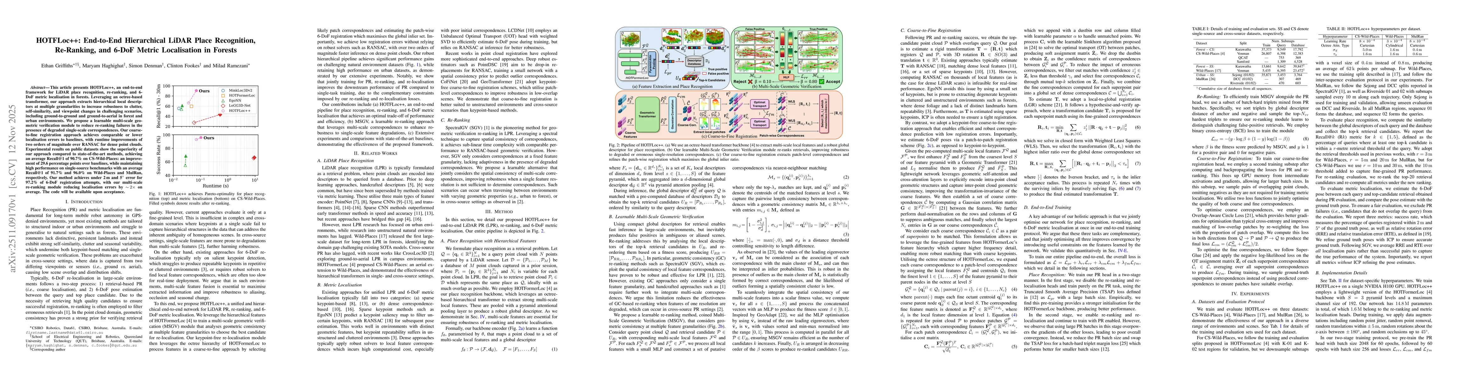
This article presents HOTFLoc++, an end-to-end framework for LiDAR place recognition, re-ranking, and 6-DoF metric localisation in forests. Leveraging an octree-based transformer, our approach extract...
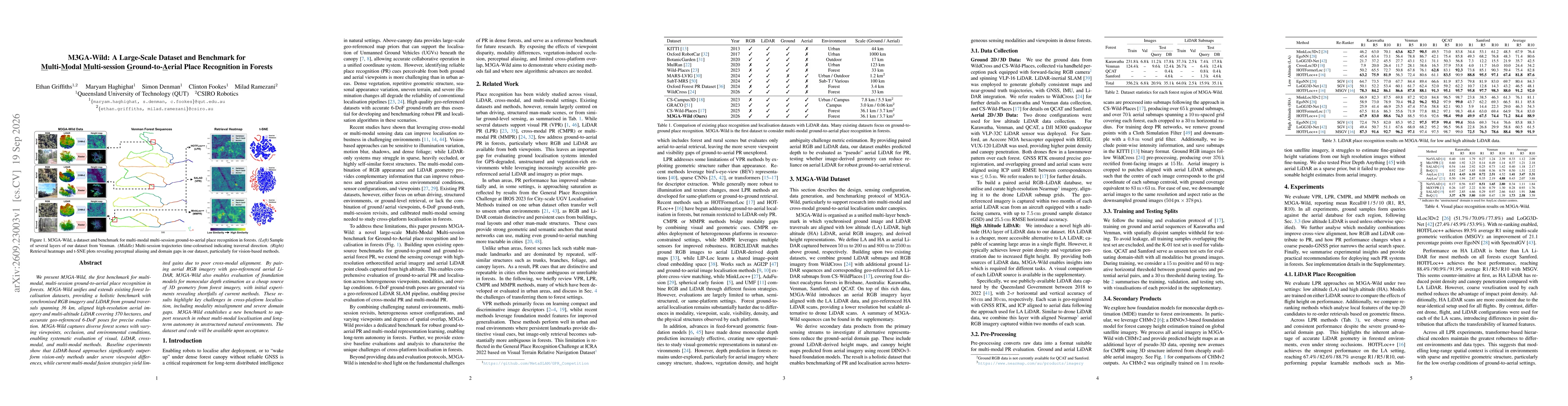
We present M3GA-Wild, the first benchmark for multi-modal, multi-session ground-to-aerial place recognition in forests. M3GA-Wild unifies and extends existing forest localisation datasets, providing a...