Academic Profile
Statistics
Similar Authors
Papers on arXiv
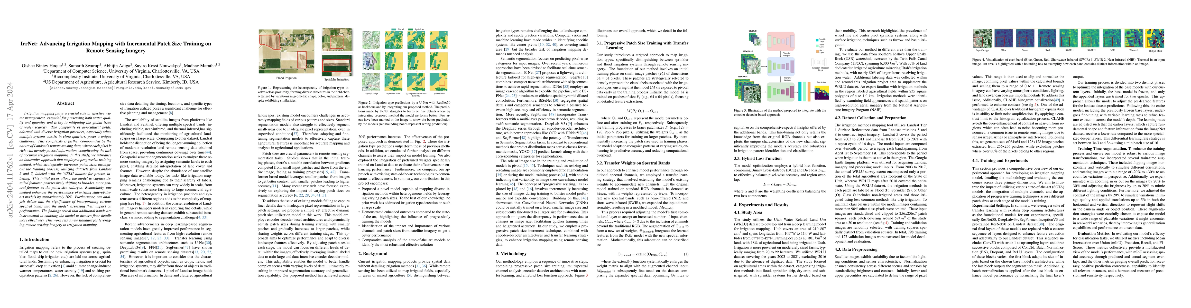
Irrigation mapping plays a crucial role in effective water management, essential for preserving both water quality and quantity, and is key to mitigating the global issue of water scarcity. The comp...
Bangladeshi Sign Language (BdSL) is a commonly used medium of communication for the hearing-impaired people in Bangladesh. A real-time BdSL interpreter with no controlled lab environment has a broad...
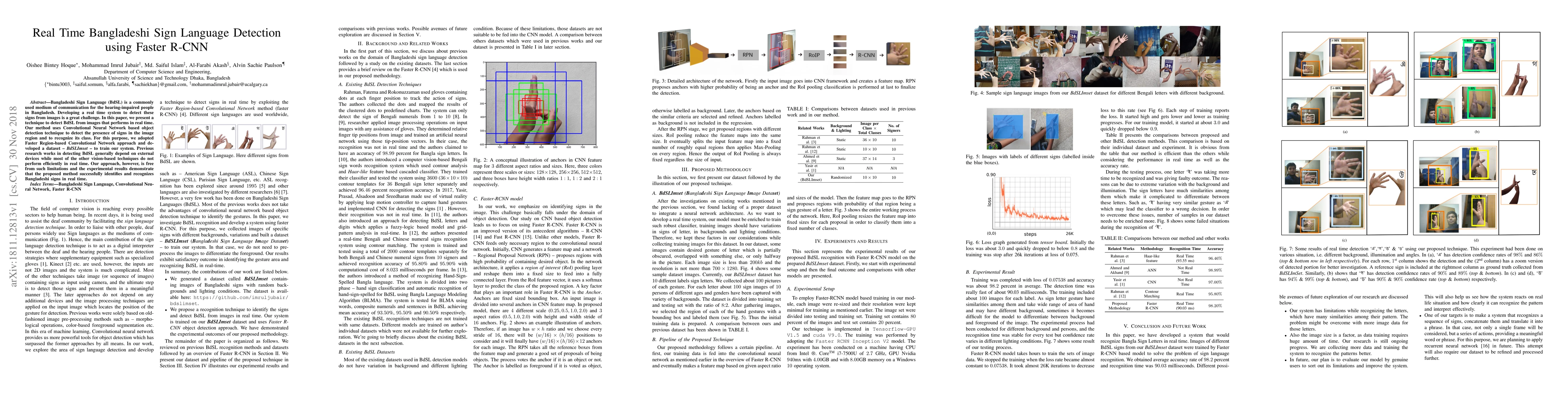
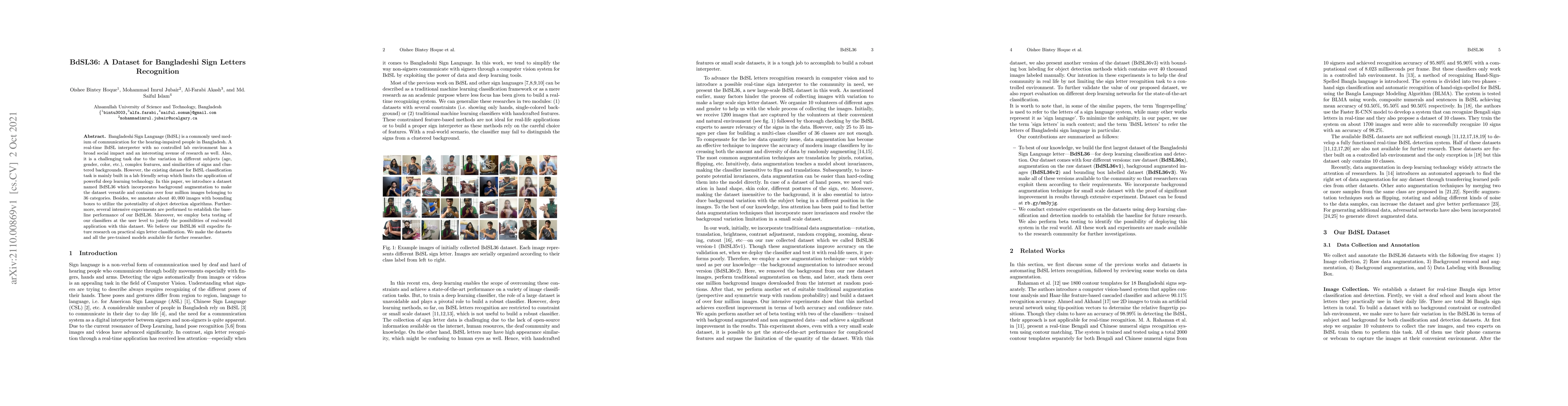
Bangladeshi Sign Language (BdSL) is a commonly used medium of communication for the hearing-impaired people in Bangladesh. Developing a real time system to detect these signs from images is a great ...
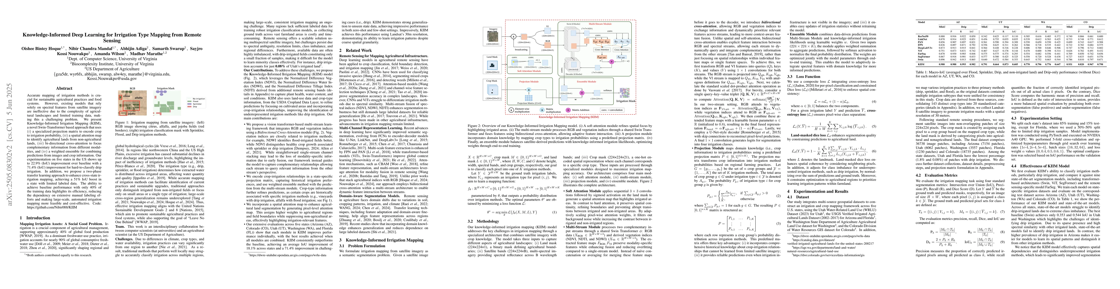
Accurate mapping of irrigation methods is crucial for sustainable agricultural practices and food systems. However, existing models that rely solely on spectral features from satellite imagery are ine...
We introduce IrrMap, the first large-scale dataset (1.1 million patches) for irrigation method mapping across regions. IrrMap consists of multi-resolution satellite imagery from LandSat and Sentinel, ...
Accurate canal network mapping is essential for water management, including irrigation planning and infrastructure maintenance. State-of-the-art semantic segmentation models for infrastructure mapping...
Large-scale livestock operations pose significant risks to human health and the environment, while also being vulnerable to threats such as infectious diseases and extreme weather events. As the numbe...
Concentrated Animal Feeding Operations (CAFOs) play an important role in agricultural production but are also associated with environmental, public health, and disease surveillance concerns. Large-sca...