Academic Profile
Statistics
Similar Authors
Papers on arXiv
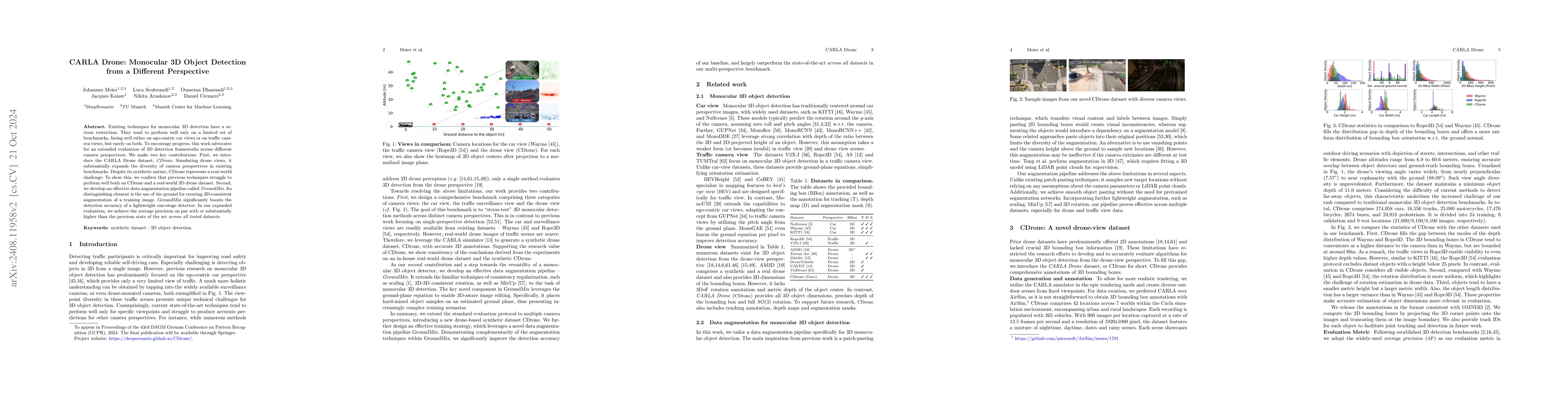
Existing techniques for monocular 3D detection have a serious restriction. They tend to perform well only on a limited set of benchmarks, faring well either on ego-centric car views or on traffic came...
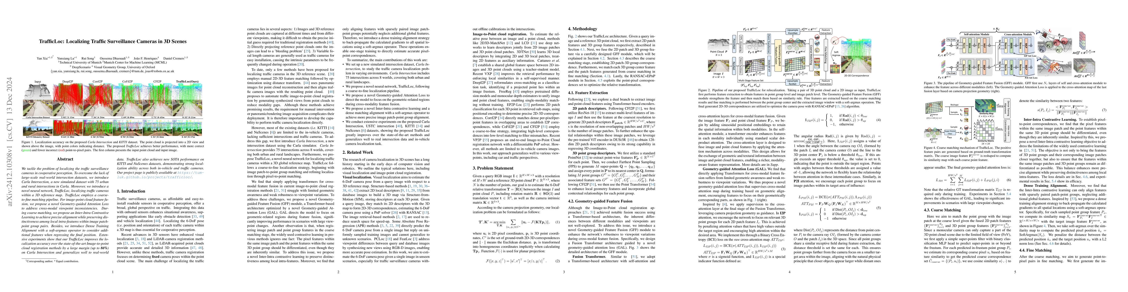
We tackle the problem of localizing the traffic surveillance cameras in cooperative perception. To overcome the lack of large-scale real-world intersection datasets, we introduce Carla Intersection, a...
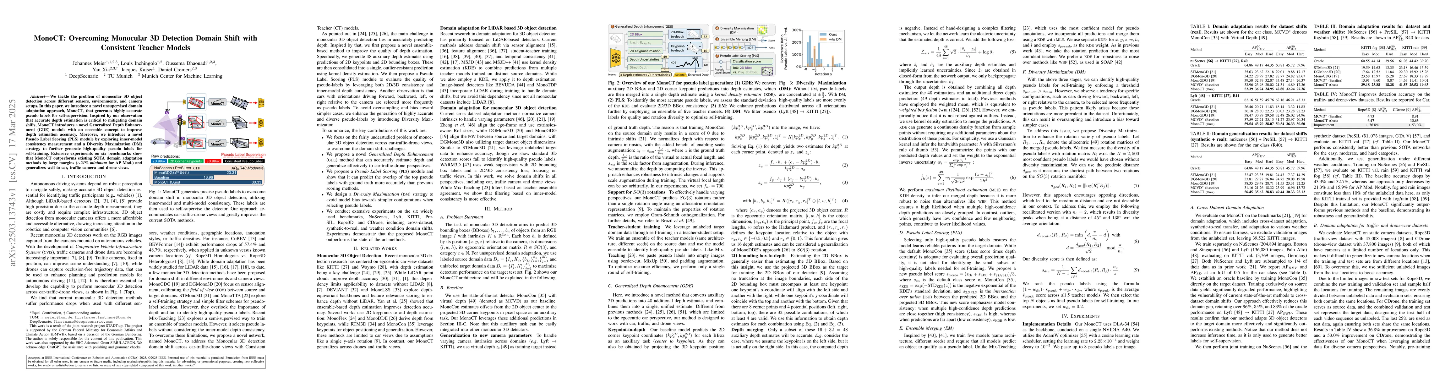
We tackle the problem of monocular 3D object detection across different sensors, environments, and camera setups. In this paper, we introduce a novel unsupervised domain adaptation approach, MonoCT, t...
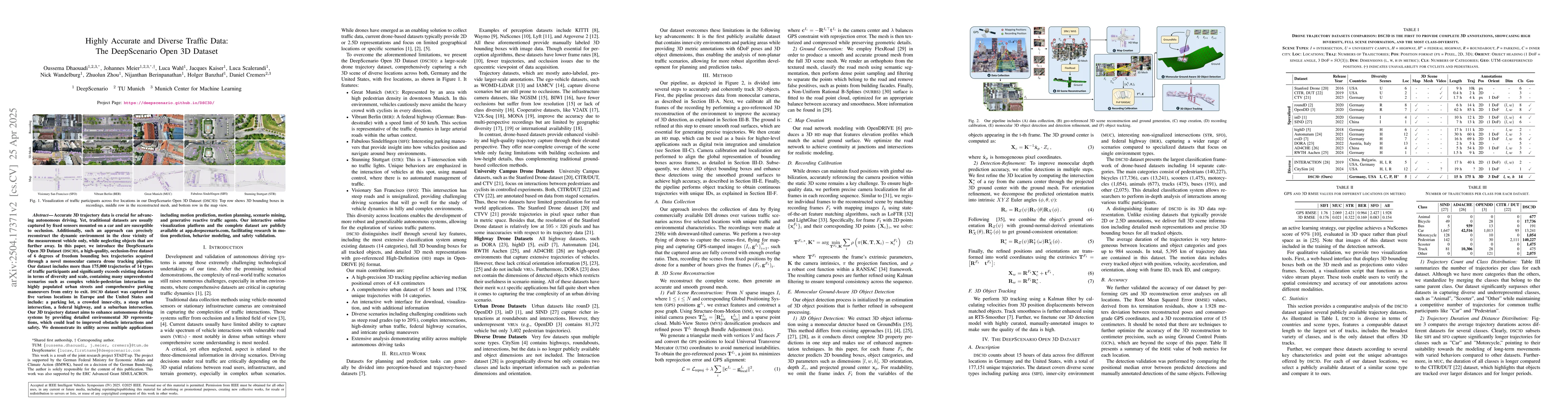
Accurate 3D trajectory data is crucial for advancing autonomous driving. Yet, traditional datasets are usually captured by fixed sensors mounted on a car and are susceptible to occlusion. Additionally...
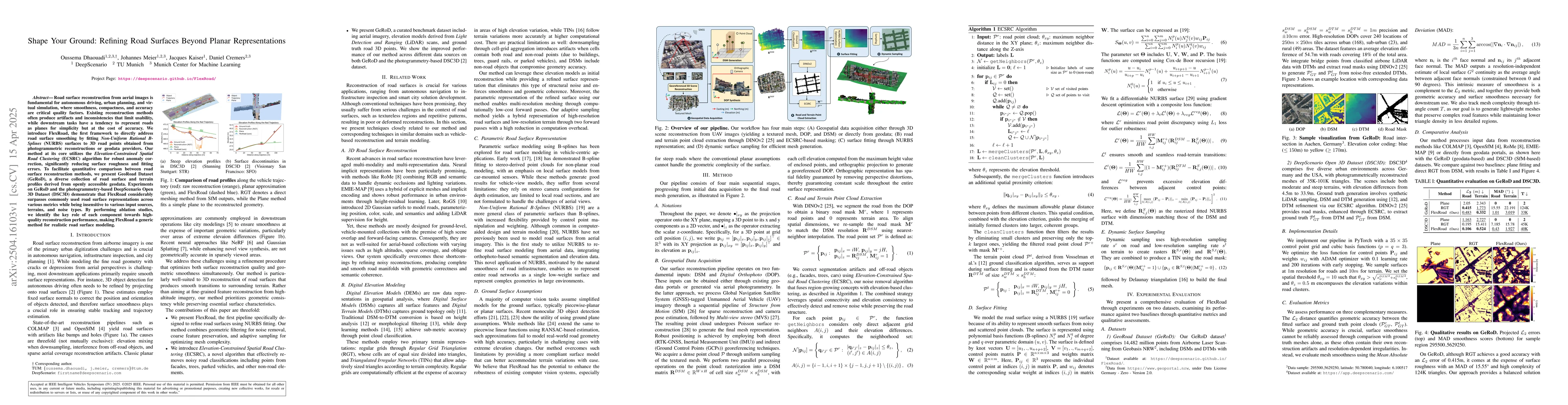
Road surface reconstruction from aerial images is fundamental for autonomous driving, urban planning, and virtual simulation, where smoothness, compactness, and accuracy are critical quality factors. ...
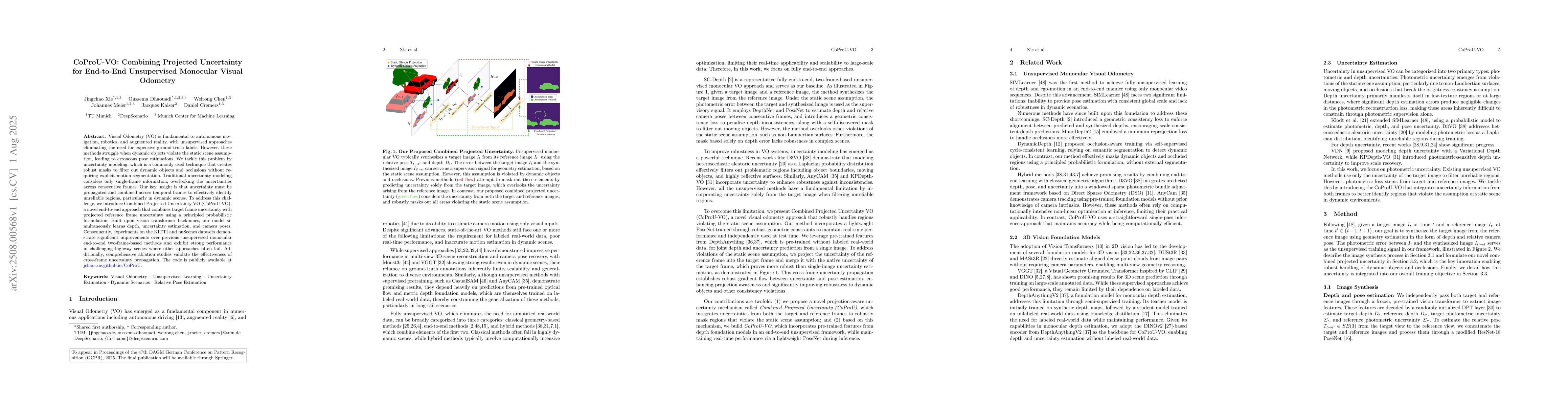
Visual Odometry (VO) is fundamental to autonomous navigation, robotics, and augmented reality, with unsupervised approaches eliminating the need for expensive ground-truth labels. However, these metho...
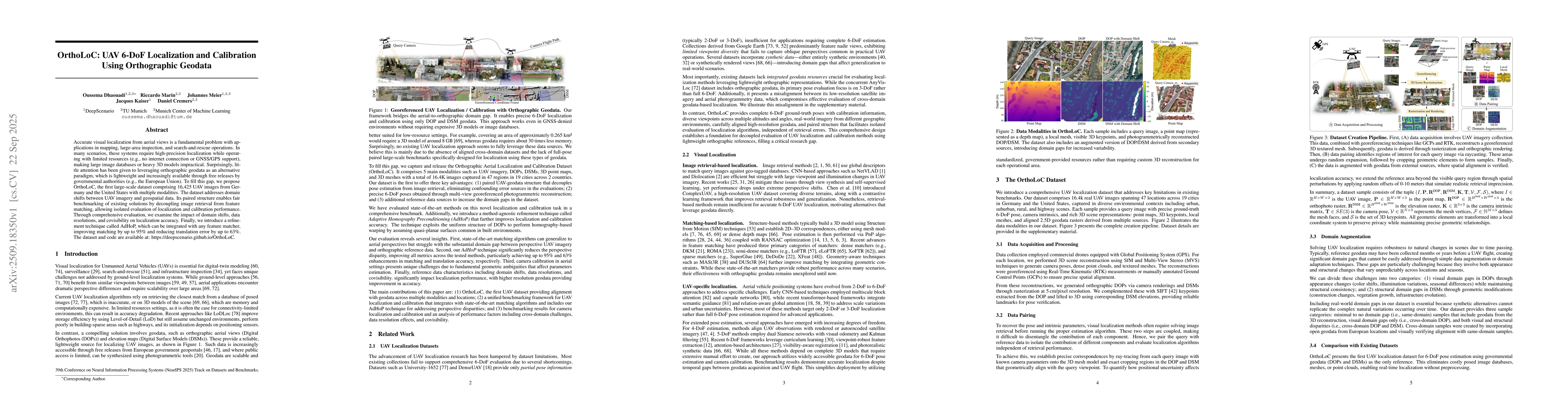
Accurate visual localization from aerial views is a fundamental problem with applications in mapping, large-area inspection, and search-and-rescue operations. In many scenarios, these systems require ...
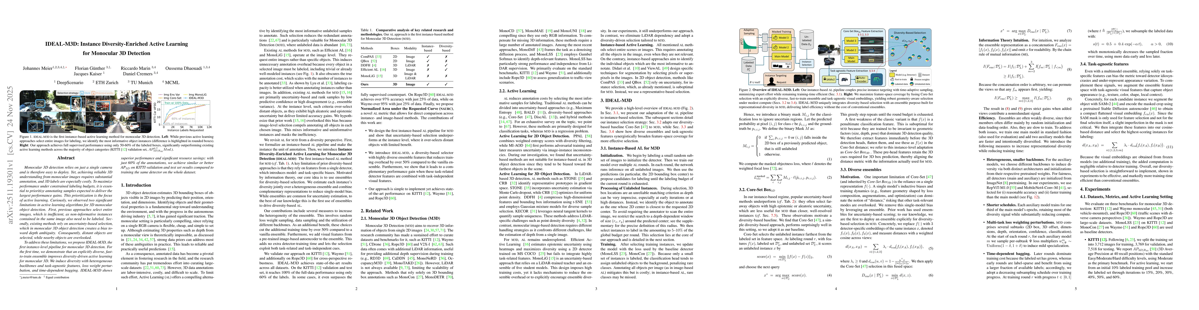
Monocular 3D detection relies on just a single camera and is therefore easy to deploy. Yet, achieving reliable 3D understanding from monocular images requires substantial annotation, and 3D labels are...
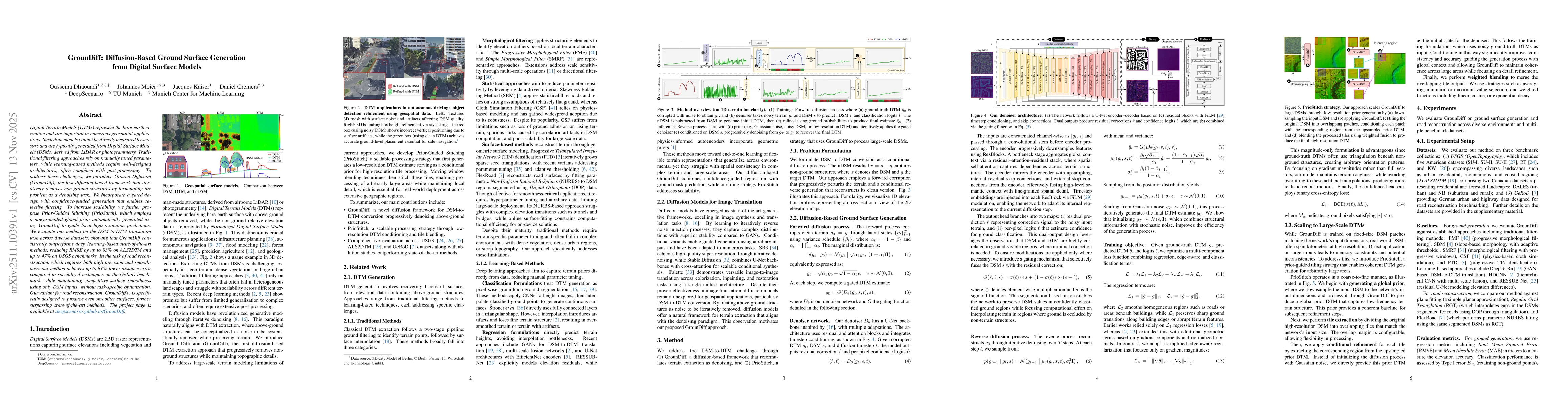
Digital Terrain Models (DTMs) represent the bare-earth elevation and are important in numerous geospatial applications. Such data models cannot be directly measured by sensors and are typically genera...
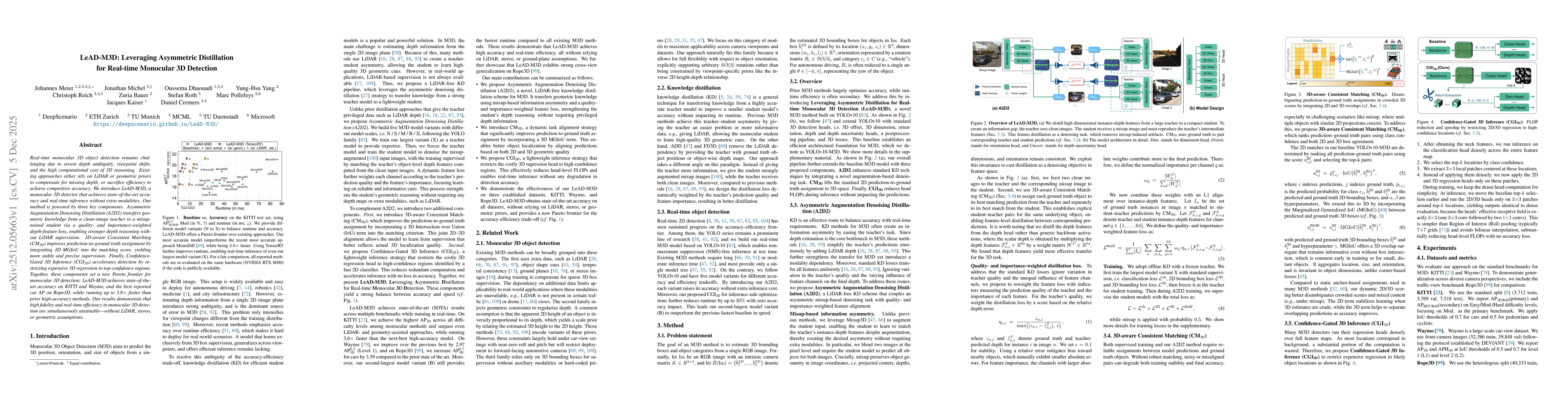
Real-time monocular 3D object detection remains challenging due to severe depth ambiguity, viewpoint shifts, and the high computational cost of 3D reasoning. Existing approaches either rely on LiDAR o...
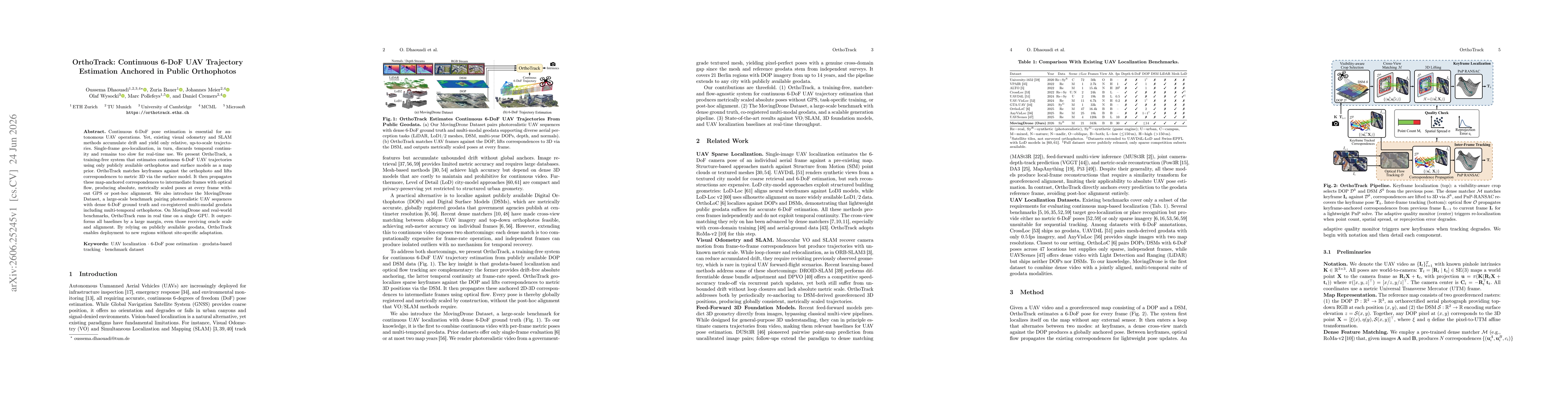
Continuous 6-DoF pose estimation is essential for autonomous UAV operations. Yet, existing visual odometry and SLAM methods accumulate drift and yield only relative, up-to-scale trajectories. Single-f...
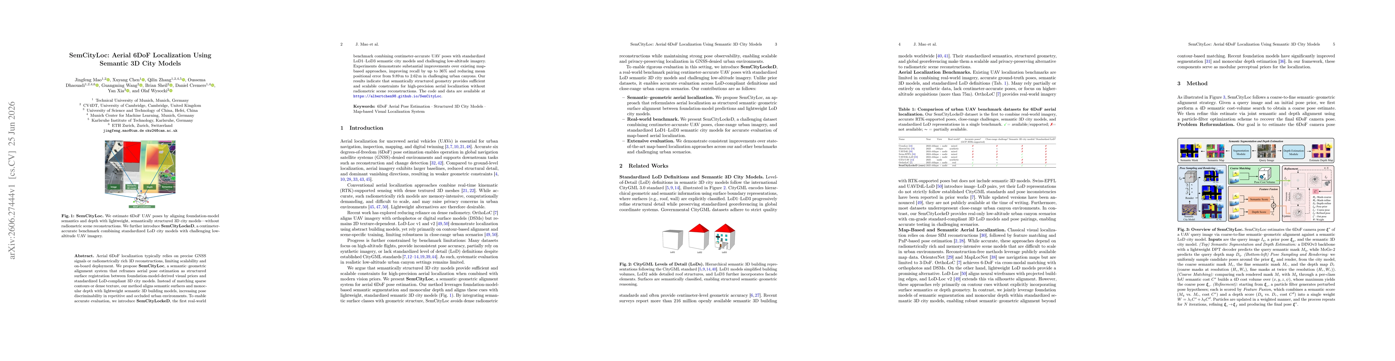
Aerial 6DoF localization typically relies on precise GNSS signals or radiometrically rich 3D reconstructions, limiting scalability and on-board deployment. We propose SemCityLoc, a semantic-geometric ...