Academic Profile
Statistics
Similar Authors
Papers on arXiv
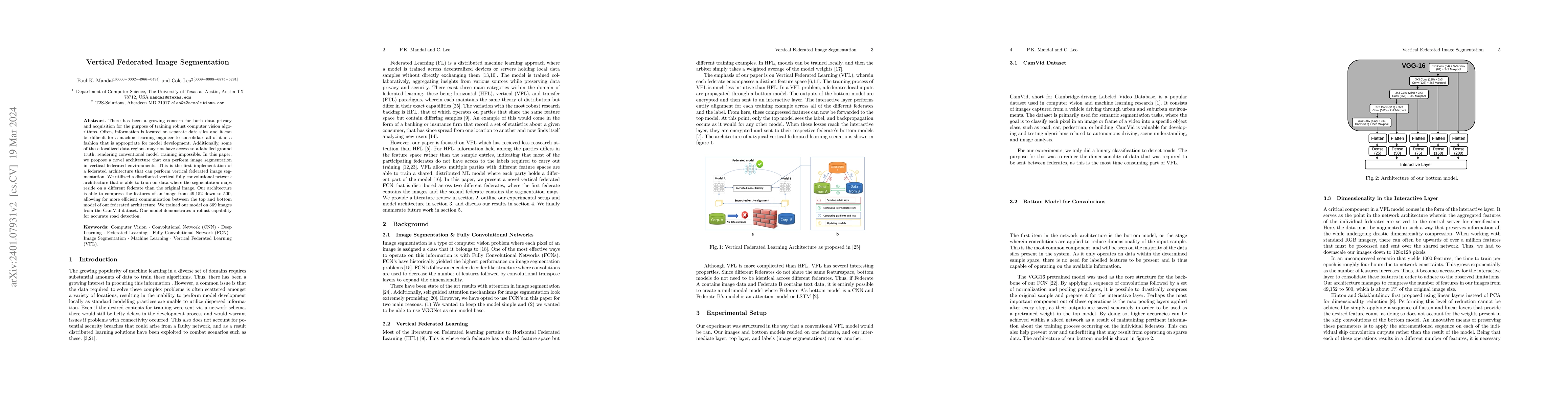
With the popularization of AI solutions for image based problems, there has been a growing concern for both data privacy and acquisition. In a large number of cases, information is located on separa...
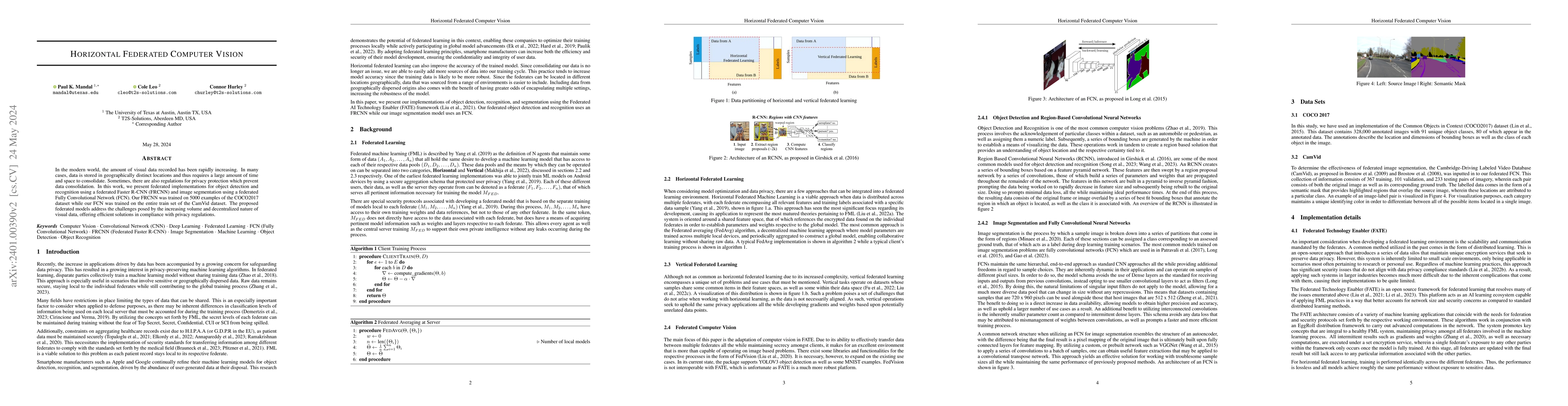
In the modern world, the amount of visual data recorded has been rapidly increasing. In many cases, data is stored in geographically distinct locations and thus requires a large amount of time and s...
In this paper, we design an auto encoder based off of Google's FNet Architecture in order to generate text from a subset of news stories contained in Google's C4 dataset. We discuss previous attempt...
Alzheimer's disease (AD) is a neuro-degenerative disease that can cause dementia and result severe reduction in brain function inhibiting simple tasks especially if no preventative care is taken. Ov...
In this paper, I investigate the effectiveness of dataset cartography for extractive question answering on the SQuAD dataset. I begin by analyzing annotation artifacts in SQuAD and evaluate the impact...
Open-source intelligence provides a stream of unstructured textual data that can inform assessments of territorial control. We present CONTACT, a framework for territorial control prediction using lar...
Model-specific adversarial attacks have been extensively studied. We study a different failure mode: naturally occurring statistical signals in vision data that can behave like backdoor-like triggers ...