Academic Profile
Statistics
Similar Authors
Papers on arXiv
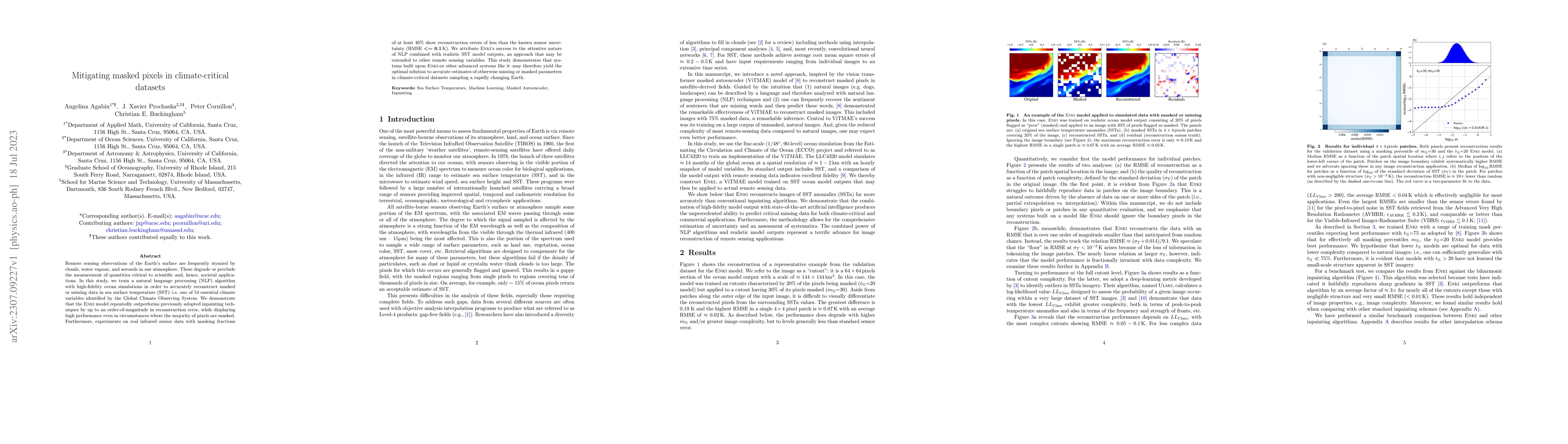
Remote sensing observations of the Earth's surface are frequently stymied by clouds, water vapour, and aerosols in our atmosphere. These degrade or preclude the measurementof quantities critical to ...
We perform an out-of-distribution analysis of ~12,000,000 semi-independent 128x128 pixel^2 SST regions, which we define as cutouts, from all nighttime granules in the MODIS R2019 Level-2 public data...
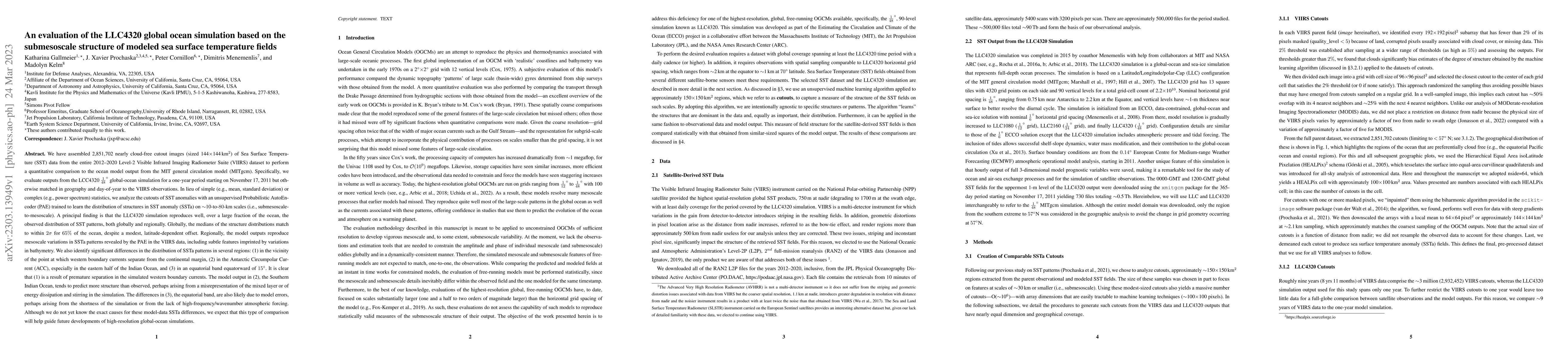
We extracted ~2.8M nearly cloud-free 144x144 km^2 cutout images from the 2012-2020 Level-2 VIIRS Sea Surface Temperature (SST) dataset to quantitatively compare with MIT ocean general circulation mo...
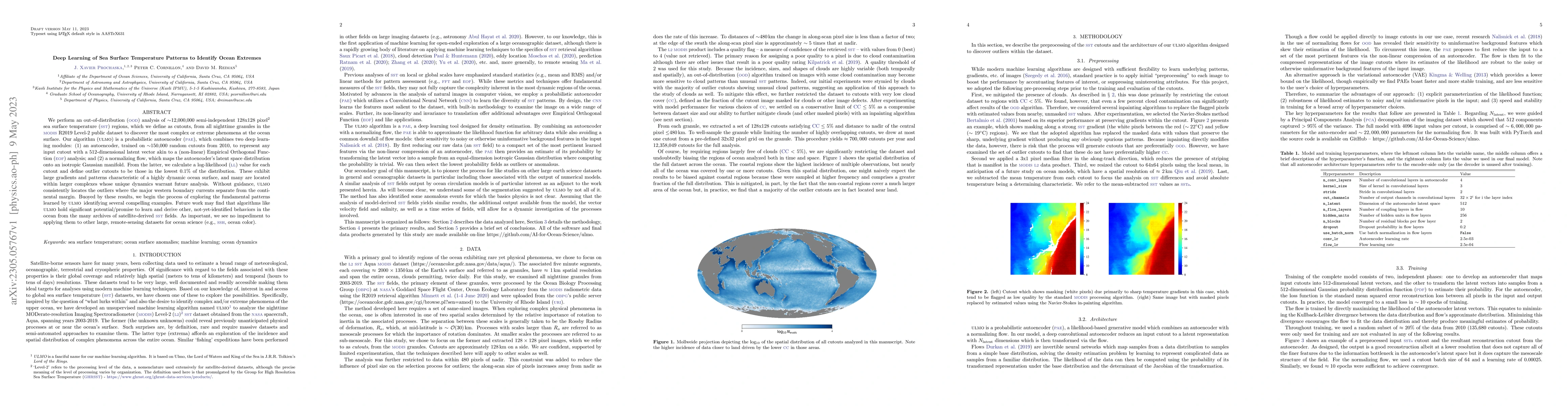
For over 40 years, remote sensing observations of the Earth's oceans have yielded global measurements of sea surface temperature (SST). With a resolution of approximately 1km, these data trace physi...