Academic Profile
Statistics
Similar Authors
Papers on arXiv
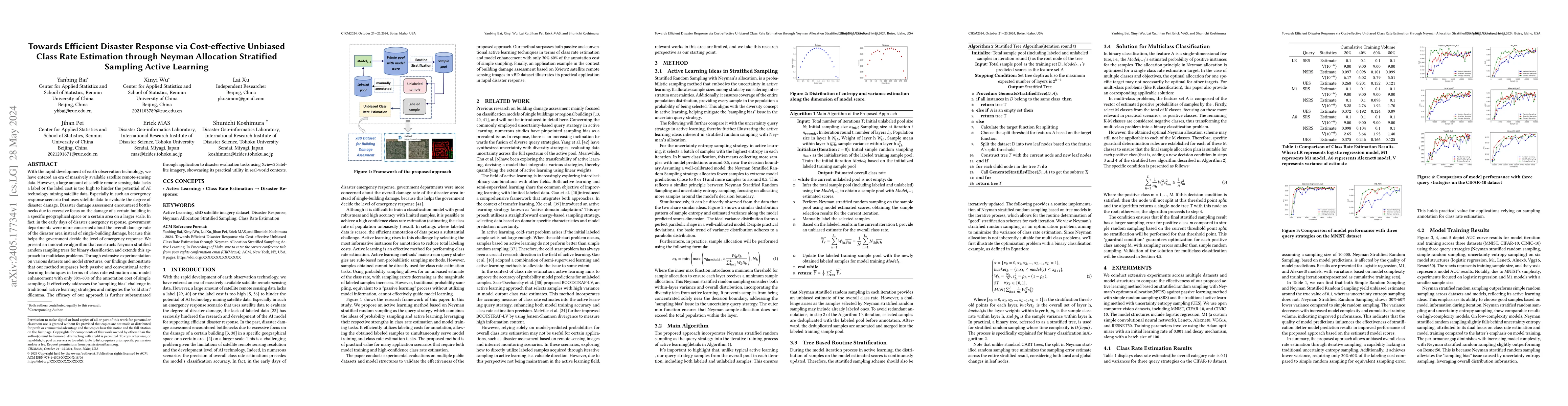
With the rapid development of earth observation technology, we have entered an era of massively available satellite remote-sensing data. However, a large amount of satellite remote sensing data lack...
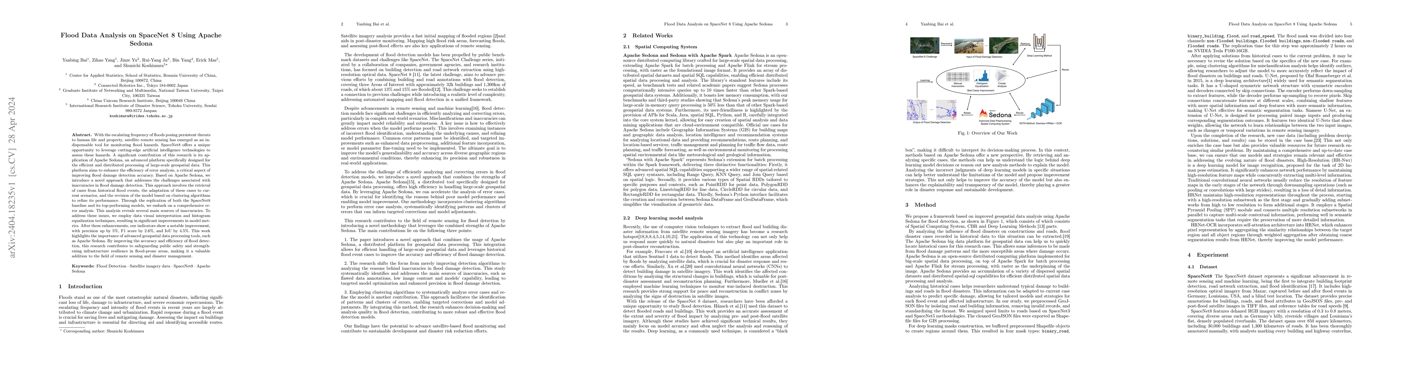
With the escalating frequency of floods posing persistent threats to human life and property, satellite remote sensing has emerged as an indispensable tool for monitoring flood hazards. SpaceNet8 of...
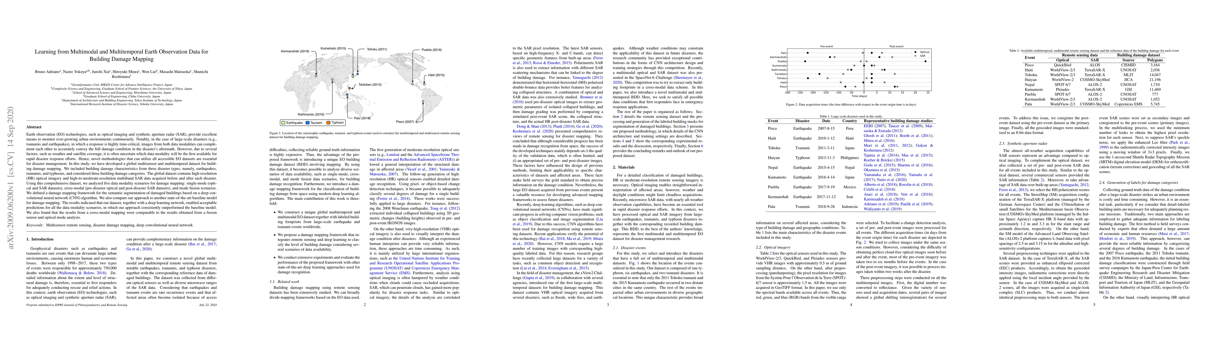
Earth observation technologies, such as optical imaging and synthetic aperture radar (SAR), provide excellent means to monitor ever-growing urban environments continuously. Notably, in the case of l...
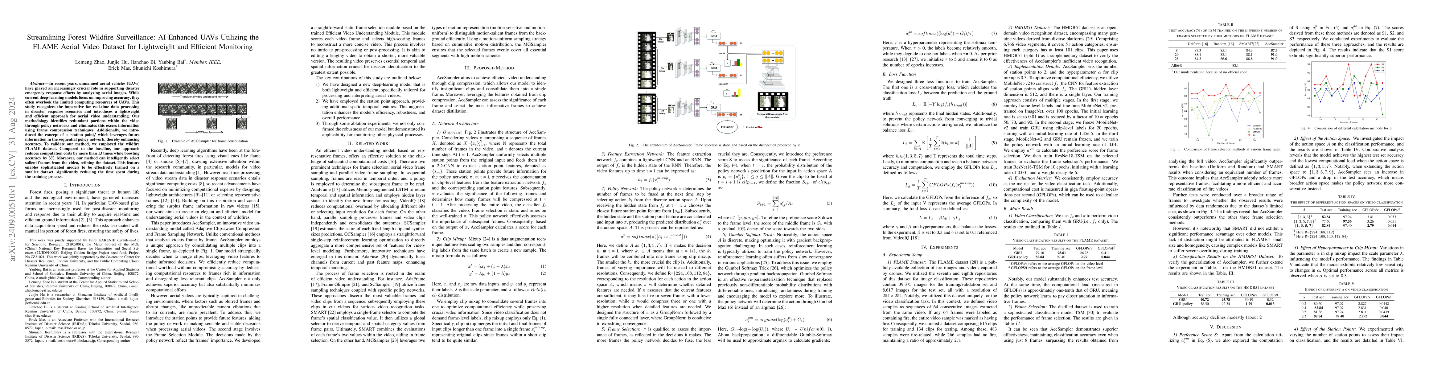
In recent years, unmanned aerial vehicles (UAVs) have played an increasingly crucial role in supporting disaster emergency response efforts by analyzing aerial images. While current deep-learning mode...
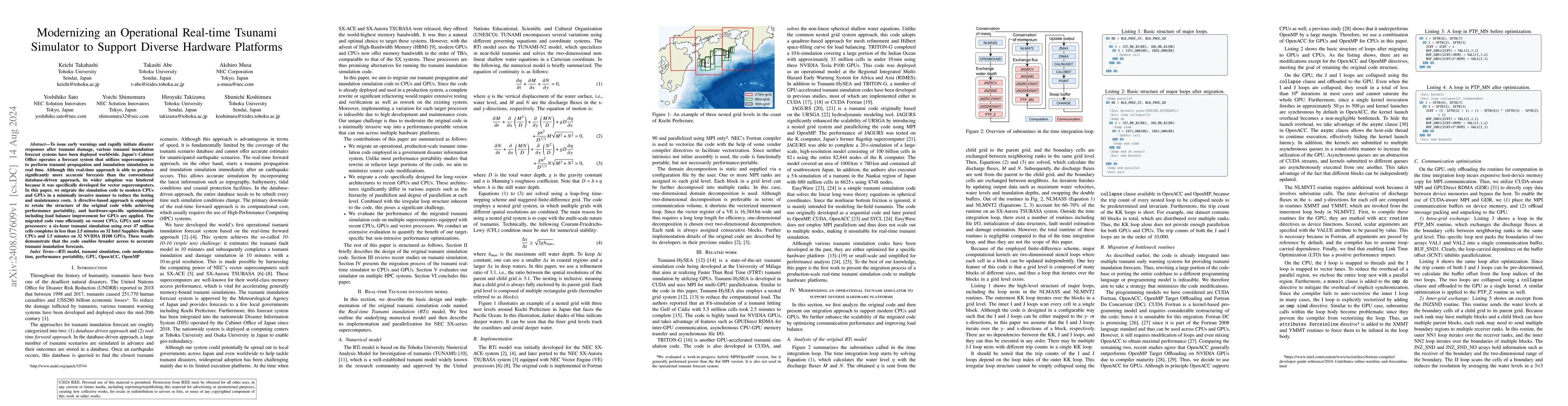
To issue early warnings and rapidly initiate disaster responses after tsunami damage, various tsunami inundation forecast systems have been deployed worldwide. Japan's Cabinet Office operates a foreca...
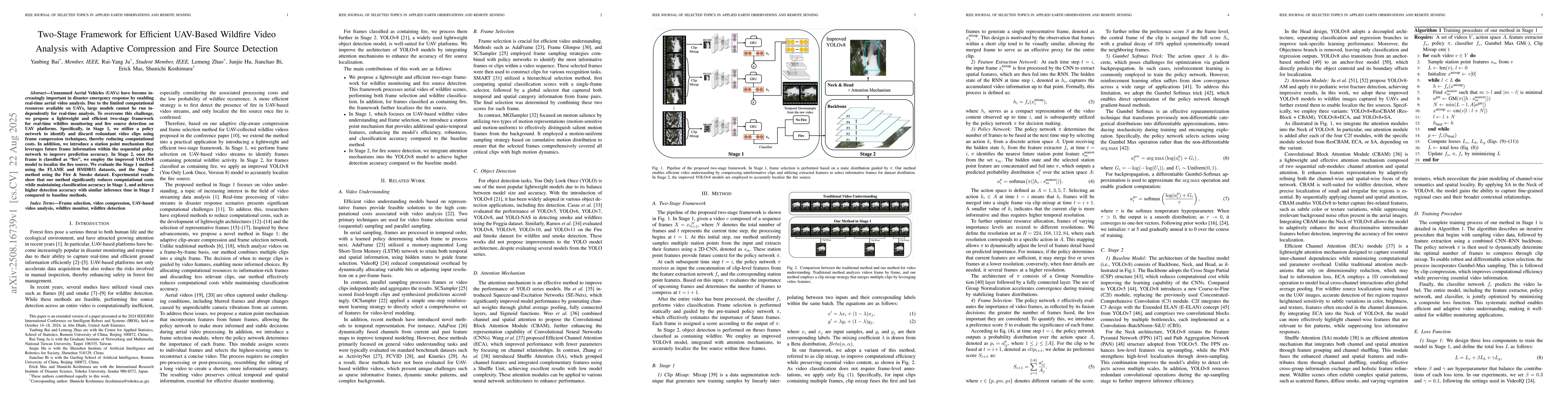
Unmanned Aerial Vehicles (UAVs) have become increasingly important in disaster emergency response by enabling real-time aerial video analysis. Due to the limited computational resources available on U...