1
arXiv Papers
2
Total Publications
Profile
Academic Profile
Metrics
Statistics
1
arXiv Papers
2
Total Publications
Network
Similar Authors
Publications
Papers on arXiv
arXiv
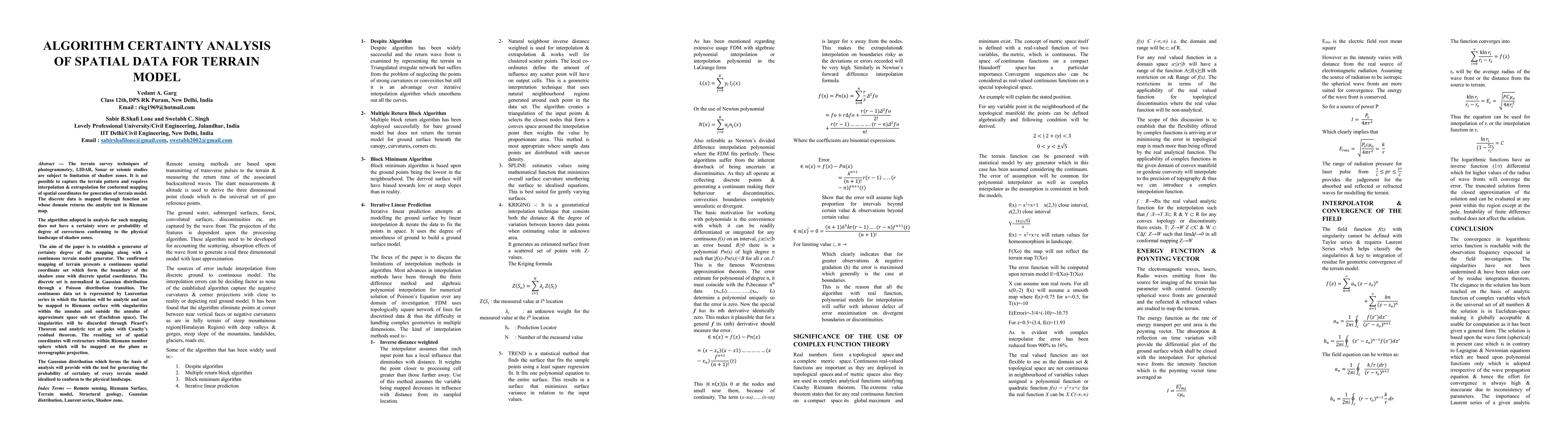
Algorithm Certainty Analysis of Spatial Data for Terrain Model
The terrain survey techniques of photogrammetry, LIDAR, Sonar or seismic studies are subject to limitation of shadow zones. It is not possible to capture the terrain pattern and requires interpolati...