Summary
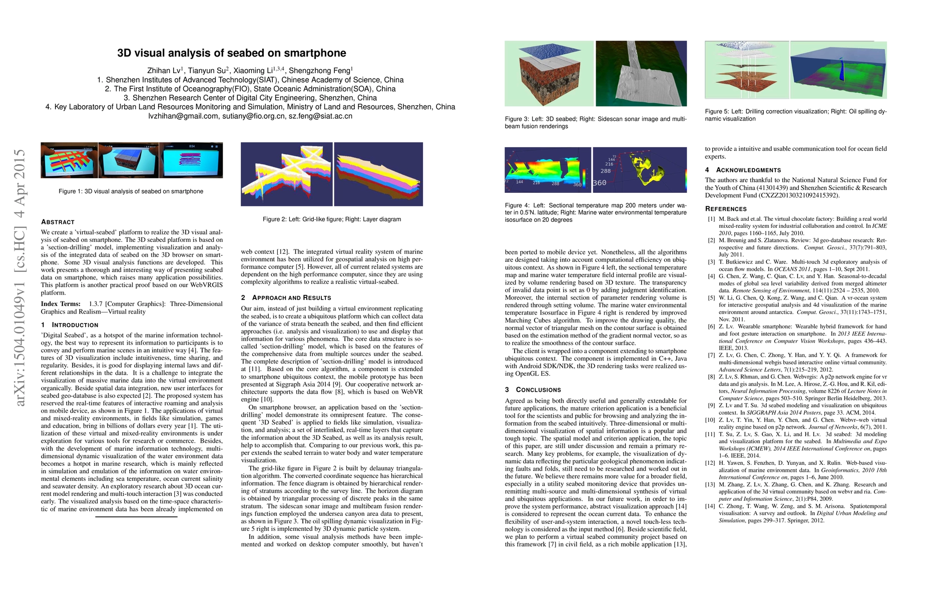
We create a 'virtual-seabed' platform to realize the 3D visual analysis of seabed on smartphone. The 3D seabed platform is based on a 'section-drilling' model, implementing visualization and analysis of the integrated data of seabed on the 3D browser on smartphone. Some 3D visual analysis functions are developed. This work presents a thorough and interesting way of presenting seabed data on smartphone, which raises many application possibilities. This platform is another practical proof based on our WebVRGIS platform.
AI Key Findings
Get AI-generated insights about this paper's methodology, results, and significance.
Paper Details
PDF Preview
Key Terms
Citation Network
Current paper (gray), citations (green), references (blue)
Display is limited for performance on very large graphs.
Similar Papers
Found 4 papers| Title | Authors | Year | Actions |
|---|

Comments (0)