3D Water Quality Mapping using Invariant Extended Kalman Filtering for Underwater Robot Localization
Publication
Metrics
AI Quick Summary
This research proposes a 3D water quality mapping method using a BlueROV2 with invariant extended Kalman filtering for underwater localization, offering precise depth-variable analysis of temperature, salinity, and turbidity in aquaculture, exemplified by an oyster farm in Chesapeake Bay. The ROV corrects its position via GPS and resurfaces to minimize errors, enhancing traditional time-bound and surface-limited methods.
Paper Preview
Abstract
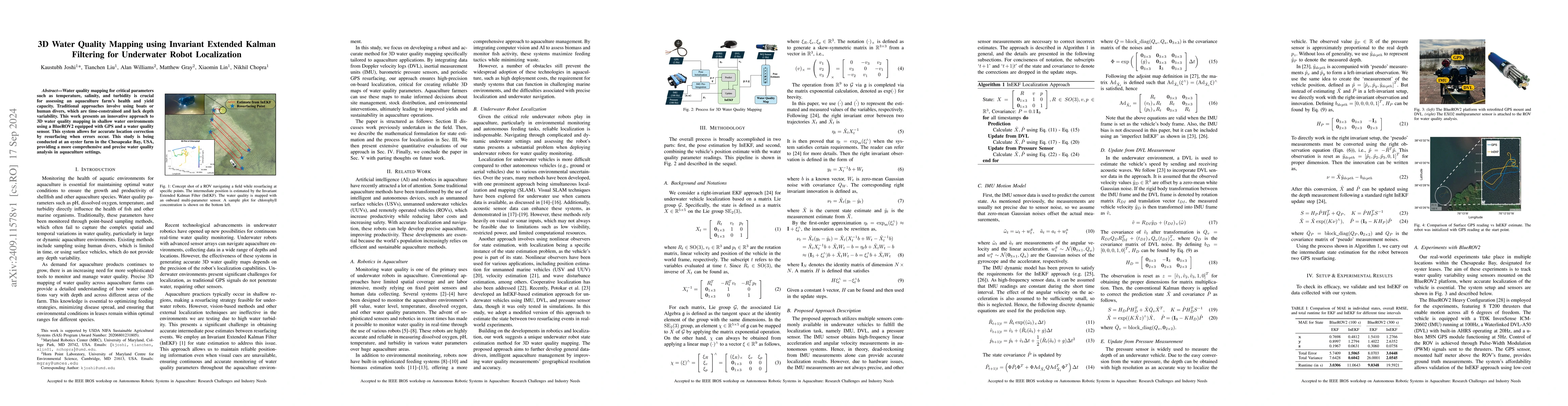
Water quality mapping for critical parameters such as temperature, salinity, and turbidity is crucial for assessing an aquaculture farm's health and yield capacity. Traditional approaches involve using boats or human divers, which are time-constrained and lack depth variability. This work presents an innovative approach to 3D water quality mapping in shallow water environments using a BlueROV2 equipped with GPS and a water quality sensor. This system allows for accurate location correction by resurfacing when errors occur. This study is being conducted at an oyster farm in the Chesapeake Bay, USA, providing a more comprehensive and precise water quality analysis in aquaculture settings.
AI Key Findings
Get AI-generated insights about this paper's methodology, results, significance, and more — seven facets brought into focus.
Impact
Paper Details
Authors
PDF Preview
Citation Network
Current paper (gray), citations (green), references (blue)
Display is limited for performance on very large graphs.
Discussion 0