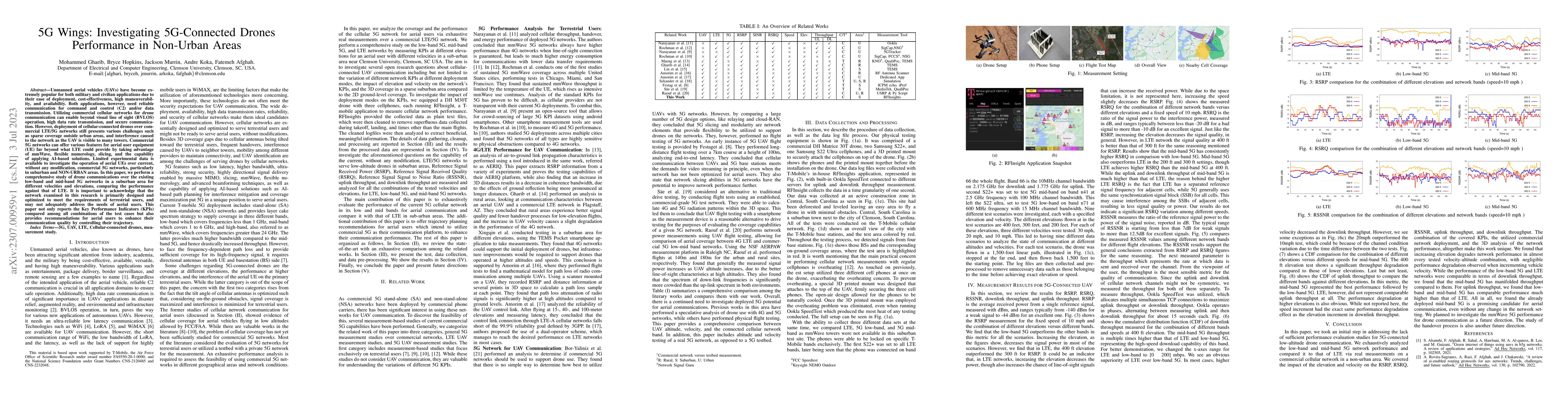
Unmanned aerial vehicles (UAVs) have become extremely popular for both
military and civilian applications due to their ease of deployment,
cost-effectiveness, high maneuverability, and availability. Both applications,
however, need reliable communication for command and control (C2) and/or data
transmission. Utilizing commercial cellular networks for drone communication
can enable beyond visual line of sight (BVLOS) operation, high data rate
transmission, and secure communication. However, deployment of
cellular-connected drones over commercial LTE/5G networks still presents
various challenges such as sparse coverage outside urban areas, and
interference caused to the network as the UAV is visible to many towers.
Commercial 5G networks can offer various features for aerial user equipment
(UE) far beyond what LTE could provide by taking advantage of mmWave, flexible
numerology, slicing, and the capability of applying AI-based solutions. Limited
experimental data is available to investigate the operation of aerial UEs over
current, without any modification, commercial 5G networks, particularly in
suburban and NON-URBAN areas. In this paper, we perform a comprehensive study
of drone communications over the existing low-band and mid-band 5G networks in
a suburban area for different velocities and elevations, comparing the
performance against that of LTE. It is important to acknowledge that the
network examined in this research is primarily designed and optimized to meet
the requirements of terrestrial users, and may not adequately address the needs
of aerial users. This paper not only reports the Key Performance Indicators
(KPIs) compared among all combinations of the test cases but also provides
recommendations for aerial users to enhance their communication quality by
controlling their trajectory.
Discussion 0