A cost-benefit source-receptor framework for implementation of Blue-Green flood risk management
Publication
Metrics
AI Quick Summary
This paper introduces a cost-benefit driven source-receptor framework for Blue-Green flood risk management, utilizing modern urban flood models to identify flood-prone areas and high-risk buildings. It prioritizes strategic locations for Blue-Green Infrastructure to mitigate flooding while considering economic benefits and costs, demonstrating this approach in Newcastle upon Tyne.
Paper Preview
Abstract
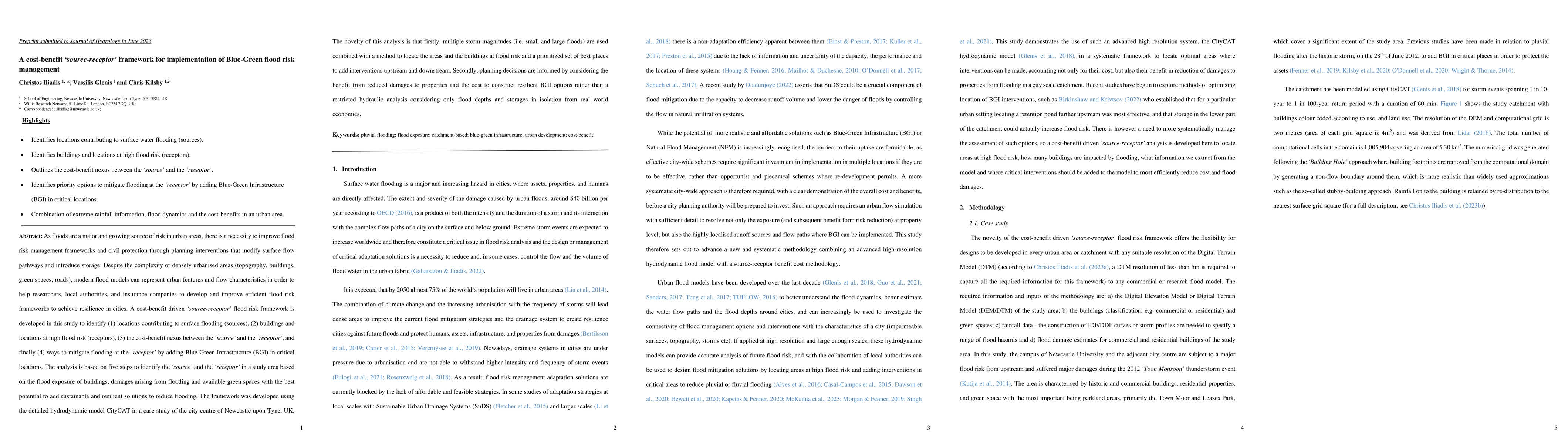
As floods are a major and growing source of risk in urban areas, there is a necessity to improve flood risk management frameworks and civil protection through planning interventions that modify surface flow pathways and introduce storage. Despite the complexity of densely urbanised areas, modern flood models can represent urban features and flow characteristics to help researchers, local authorities, and insurance companies to develop and improve efficient flood risk frameworks to achieve resilience in cities. A cost-benefit driven source-receptor flood risk framework is developed in this study to identify (1) locations contributing to surface flooding (sources), (2) buildings and locations at high flood risk (receptors), (3) the cost-benefit nexus between the source and the receptor, and finally (4) ways to mitigate flooding at the receptor by adding Blue-Green Infrastructure (BGI) in critical locations. The analysis is based on five steps to identify the source and the receptor in a study area based on the flood exposure of buildings, damages arising from flooding and available green spaces with the best potential to add sustainable and resilient solutions to reduce flooding. The framework was developed using the detailed hydrodynamic model CityCAT in a case study of the city centre of Newcastle upon Tyne, UK. The novelty of this analysis is that firstly, multiple storm magnitudes (i.e. small and large floods) are used combined with a method to locate the areas and the buildings at flood risk and a prioritized set of best places to add interventions upstream and downstream. Secondly, planning decisions are informed by considering the benefit from reduced damages to properties and the cost to construct resilient BGI options rather than a restricted hydraulic analysis considering only flood depths and storages in isolation from real-world economics.
AI Key Findings
Get AI-generated insights about this paper's methodology, results, significance, and more — seven facets brought into focus.
Impact
Paper Details
Authors
PDF Preview
Key Terms
Citation Network
Current paper (gray), citations (green), references (blue)
Display is limited for performance on very large graphs.
Discussion 0