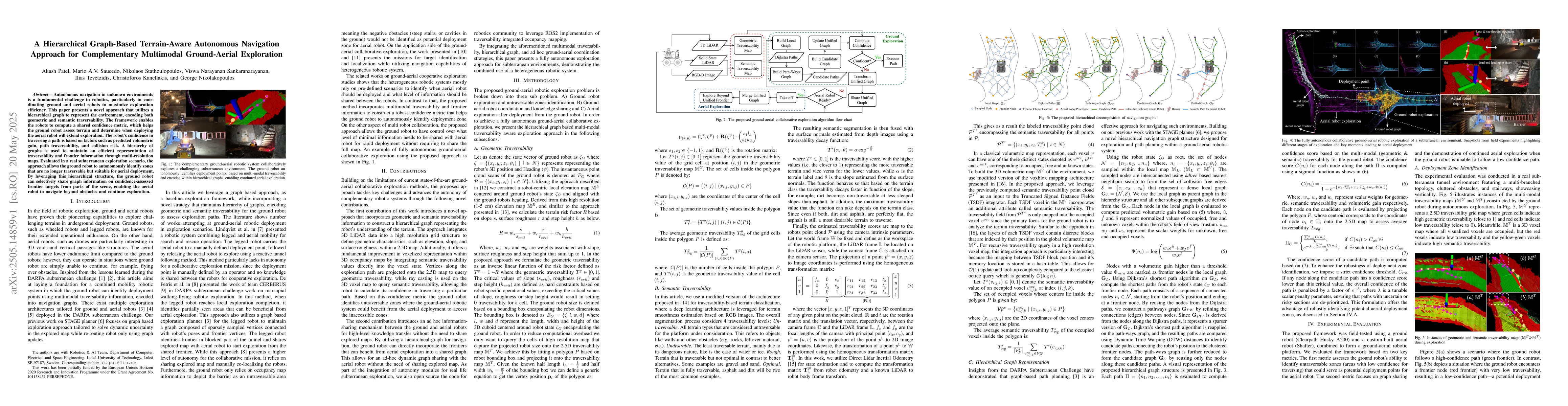
Autonomous navigation in unknown environments is a fundamental challenge in
robotics, particularly in coordinating ground and aerial robots to maximize
exploration efficiency. This paper presents a novel approach that utilizes a
hierarchical graph to represent the environment, encoding both geometric and
semantic traversability. The framework enables the robots to compute a shared
confidence metric, which helps the ground robot assess terrain and determine
when deploying the aerial robot will extend exploration. The robot's confidence
in traversing a path is based on factors such as predicted volumetric gain,
path traversability, and collision risk. A hierarchy of graphs is used to
maintain an efficient representation of traversability and frontier information
through multi-resolution maps. Evaluated in a real subterranean exploration
scenario, the approach allows the ground robot to autonomously identify zones
that are no longer traversable but suitable for aerial deployment. By
leveraging this hierarchical structure, the ground robot can selectively share
graph information on confidence-assessed frontier targets from parts of the
scene, enabling the aerial robot to navigate beyond obstacles and continue
exploration.
Discussion 0