Quick Summary:

This paper introduces a new stereo benchmarking dataset for satellite images, providing stereo-rectified images and groundtruthed disparities for 10 areas of interest from existing datasets. The dataset includes quantitative evaluations and metadata, and is available for public download to facilitate research in stereo reconstruction with multi-date satellite images.

Summary

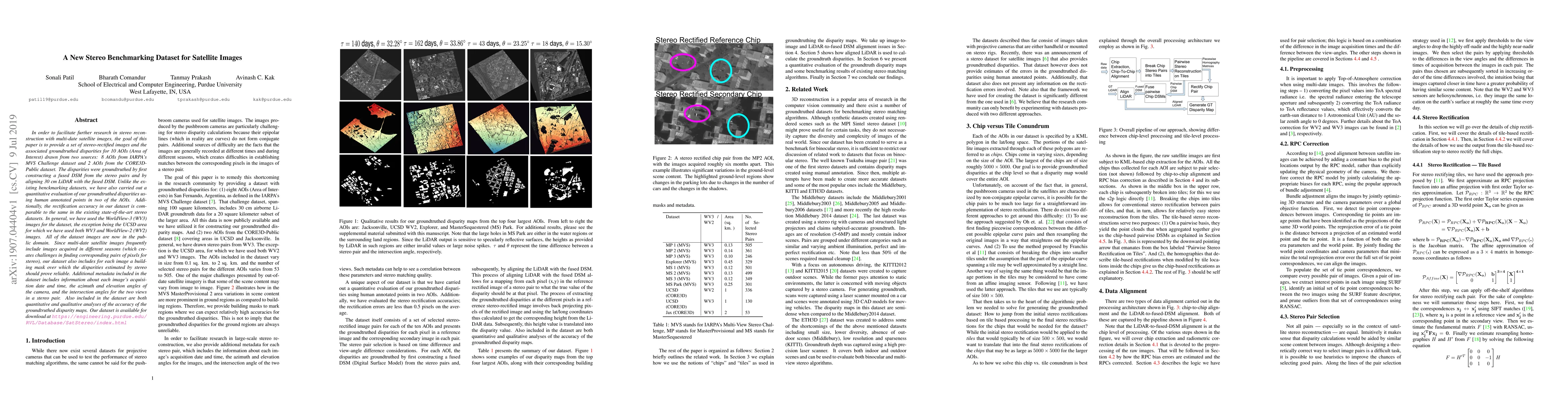
In order to facilitate further research in stereo reconstruction with multi-date satellite images, the goal of this paper is to provide a set of stereo-rectified images and the associated groundtruthed disparities for 10 AOIs (Area of Interest) drawn from two sources: 8 AOIs from IARPA's MVS Challenge dataset and 2 AOIs from the CORE3D-Public dataset. The disparities were groundtruthed by first constructing a fused DSM from the stereo pairs and by aligning 30 cm LiDAR with the fused DSM. Unlike the existing benckmarking datasets, we have also carried out a quantitative evaluation of our groundtruthed disparities using human annotated points in two of the AOIs. Additionally, the rectification accuracy in our dataset is comparable to the same in the existing state-of-the-art stereo datasets. In general, we have used the WorldView-3 (WV3) images for the dataset, the exception being the UCSD area for which we have used both WV3 and WorldView-2 (WV2) images. All of the dataset images are now in the public domain. Since multi-date satellite images frequently include images acquired in different seasons (which creates challenges in finding corresponding pairs of pixels for stereo), our dataset also includes for each image a building mask over which the disparities estimated by stereo should prove reliable. Additional metadata included in the dataset includes information about each image's acquisition date and time, the azimuth and elevation angles of the camera, and the intersection angles for the two views in a stereo pair. Also included in the dataset are both quantitative and qualitative analyses of the accuracy of the groundtruthed disparity maps. Our dataset is available for download at \url{https://engineering.purdue.edu/RVL/Database/SatStereo/index.html}

AI Key Findings

Get AI-generated insights about this paper's methodology, results, and significance.

Paper Details

PDF Preview

Download PDF

Key Terms

dataset (0.261)
dataset (0.261)
images (0.242)
images (0.240)
date (0.236)
date (0.226)
satellite (0.191)
angles (0.191)
satellite (0.187)
included (0.184)
angles (0.184)
public (0.171)
included (0.171)
quantitative (0.171)
public (0.169)
includes (0.160)
pairs (0.160)
quantitative (0.159)
includes (0.159)
area (0.156)
Title Authors Year Actions
Rethinking the Key Factors for the Generalization of Remote Sensing Stereo Matching Networks
Liting Jiang, Feng Wang, Wenyi Zhang, Peifeng Li, H. You, Yuming Xiang
2024
View Paper
MULTI-SATELLITE IMAGE ALIGNMENT OVER LARGE AREAS WITH FEATURELESS REGIONS
C. J. Roros, R. Deshmukh, A. C. Kak
2023
View Paper
Incorporating Season and Solar Specificity Into Renderings Made by a NeRF Architecture Using Satellite Images
Michael Gableman, A. Kak
2023
View Paper
STELLAR: A LARGE SATELLITE STEREO DATASET FOR DIGITAL SURFACE MODEL GENERATION
S. Patil, Q. Guo
2023
View Paper
DeepSim-Nets: Deep Similarity Networks for Stereo Image Matching
Mohamed Ali Chebbi, E. Rupnik, M. Pierrot-Deseilligny, P. Lopes
2023
View Paper
UAVStereo: A Multiple Resolution Dataset for Stereo Matching in UAV Scenarios
Xiaoyi Zhang, Xuefeng Cao, Anzhu Yu, Wenshuai Yu, Zhenqi Li, Yujun Quan
2023
View Paper
A comparative study on deep‐learning methods for dense image matching of multi‐angle and multi‐date remote sensing stereo‐images
H. Albanwan, R. Qin
2022
View Paper
EarthNets: Empowering AI in Earth Observation
Zhitong Xiong, Fahong Zhang, Yi Wang, Yilei Shi, Xiao Xiang Zhu
2022
View Paper
WHU-Stereo: A Challenging Benchmark for Stereo Matching of High-Resolution Satellite Images
Shenhong Li, Sheng-Fang He, San Jiang, Wanshou Jiang, Lin Zhang
2022
View Paper
ImpliCity: City Modeling from Satellite Images with Deep Implicit Occupancy Fields
Corinne Stucker, Bingxin Ke, Yuanwen Yue, Shengyu Huang, Iro Armeni, K. Schindler
2022
View Paper
LiDAR-guided Stereo Matching with a Spatial Consistency Constraint
Yongjun Zhang, Siyuan Zou, Xinyi Liu, Xu Huang, Y. Wan, Yongxiang Yao
2022
View Paper
An experimental comparison of multi-view stereo approaches on satellite images
Álvaro Gómez, G. Randall, G. Facciolo, Rafael Grompone von Gioi
2022
View Paper
Cumulative Assessment for Urban 3D Modeling
Shea Hagstrom, Hee Won Pak, S. Ku, Sean Wang, Gregory D. Hager, M. Brown
2021
View Paper
A NEW STEREO DENSE MATCHING BENCHMARK DATASET FOR DEEP LEARNING
Teng Wu, Bruno Vallet, M. Pierrot-Deseilligny, E. Rupnik
2021
View Paper
ResDepth: A deep residual prior for 3D reconstruction from high-resolution satellite images
Corinne Stucker, K. Schindler
2021
View Paper
Operational Pipeline for Large-Scale 3D Reconstruction of Buildings From Satellite Images
S. Tripodi, L. Duan, V. Poujade, F. Trastour, Jean-Philippe Bauchet, L. Laurore, Y. Tarabalka
2020
View Paper
Semantic Labeling of Large-Area Geographic Regions Using Multiview and Multidate Satellite Images and Noisy OSM Training Labels
Bharath Comandur, A. Kak
2020
View Paper
GROUND TRUTH GENERATION AND DISPARITY ESTIMATION FOR OPTICAL SATELLITE IMAGERY
M. Cournet, E. Sarrazin, L. Dumas, J. Michel, J. Guinet, D. Youssefi, V. Defonte, Q. Fardet
2020
View Paper
RarePlanes: Synthetic Data Takes Flight
Jacob Shermeyer, T. Hossler, A. V. Etten, Daniel Hogan, Ryan Lewis, Daeil Kim
2020
View Paper
Photometric Multi-View Mesh Refinement for High-Resolution Satellite Images
M. Rothermel, Ke Gong, D. Fritsch, K. Schindler, N. Haala
2020
View Paper
ResDepth: A Deep Prior For 3D Reconstruction From High-resolution Satellite Images
Corinne Stucker, K. Schindler
2021
View Paper
remote sensing
Jie Shan, Riccardo Roncella, Haitao Luo, Jinming Zhang, Xiongfei Liu, Lili Zhang, Junyi Liu
View Paper

Comments (0)

This website uses cookies to ensure you get the best experience. Learn more