Publication
Metrics
Paper Preview
Abstract
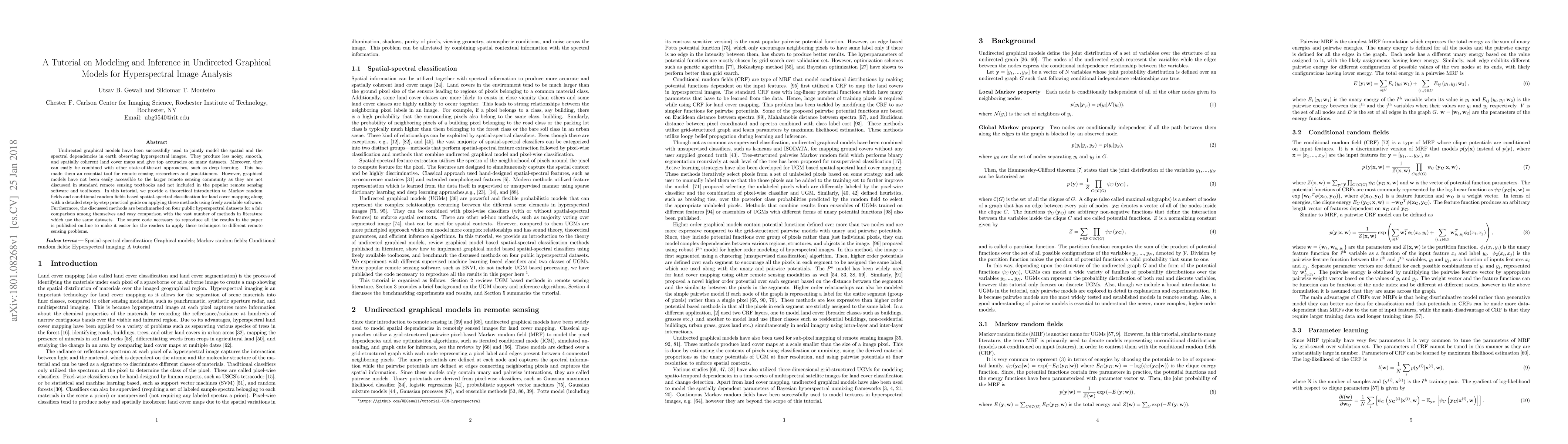
Undirected graphical models have been successfully used to jointly model the spatial and the spectral dependencies in earth observing hyperspectral images. They produce less noisy, smooth, and spatially coherent land cover maps and give top accuracies on many datasets. Moreover, they can easily be combined with other state-of-the-art approaches, such as deep learning. This has made them an essential tool for remote sensing researchers and practitioners. However, graphical models have not been easily accessible to the larger remote sensing community as they are not discussed in standard remote sensing textbooks and not included in the popular remote sensing software and toolboxes. In this tutorial, we provide a theoretical introduction to Markov random fields and conditional random fields based spatial-spectral classification for land cover mapping along with a detailed step-by-step practical guide on applying these methods using freely available software. Furthermore, the discussed methods are benchmarked on four public hyperspectral datasets for a fair comparison among themselves and easy comparison with the vast number of methods in literature which use the same datasets. The source code necessary to reproduce all the results in the paper is published on-line to make it easier for the readers to apply these techniques to different remote sensing problems.
AI Key Findings
Get AI-generated insights about this paper's methodology, results, significance, and more — seven facets brought into focus.
Impact
Paper Details
PDF Preview
Key Terms
Citation Network
Current paper (gray), citations (green), references (blue)
Display is limited for performance on very large graphs.
Discussion 0