Adapting conditional simulation using circulant embedding for irregularly spaced spatial data
Publication
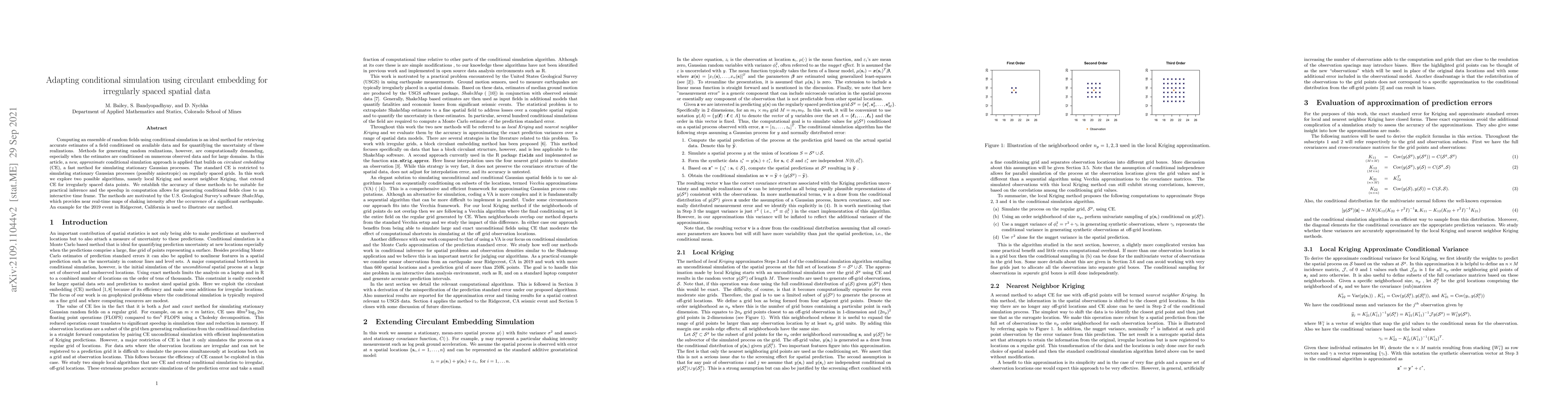
Metrics
AI Quick Summary
This paper proposes a new approximate conditional simulation method using circulant embedding for generating random fields conditioned on irregularly spaced spatial data. The approach extends circulant embedding to handle such data, enabling faster computation and practical inference, demonstrated through an application to the U.S. Geological Survey's ShakeMap software.
Paper Preview
Abstract
Computing an ensemble of random fields using conditional simulation is an ideal method for retrieving accurate estimates of a field conditioned on available data and for quantifying the uncertainty of these realizations. Methods for generating random realizations, however, are computationally demanding, especially when the estimates are conditioned on numerous observed data and for large domains. In this article, a \textit{new}, \textit{approximate} conditional simulation approach is applied that builds on \textit{circulant embedding} (CE), a fast method for simulating stationary Gaussian processes. The standard CE is restricted to simulating stationary Gaussian processes (possibly anisotropic) on regularly spaced grids. In this work we explore two possible algorithms, namely local Kriging and nearest neighbor Kriging, that extend CE for irregularly spaced data points. We establish the accuracy of these methods to be suitable for practical inference and the speedup in computation allows for generating conditional fields close to an interactive time frame. The methods are motivated by the U.S. Geological Survey's software \textit{ShakeMap}, which provides near real-time maps of shaking intensity after the occurrence of a significant earthquake. An example for the 2019 event in Ridgecrest, California is used to illustrate our method.
AI Key Findings
Get AI-generated insights about this paper's methodology, results, significance, and more — seven facets brought into focus.
Impact
Paper Details
Authors
PDF Preview
Key Terms
Citation Network
Current paper (gray), citations (green), references (blue)
Display is limited for performance on very large graphs.
Discussion 0