Quick Summary:

The Adaptive Frequency Enhancement Network (AFENet) proposes two modules to improve remote sensing image semantic segmentation: AFSIM for adaptive frequency and spatial feature interaction, and SFM for selective feature fusion, achieving superior performance over existing methods on diverse datasets.

Summary

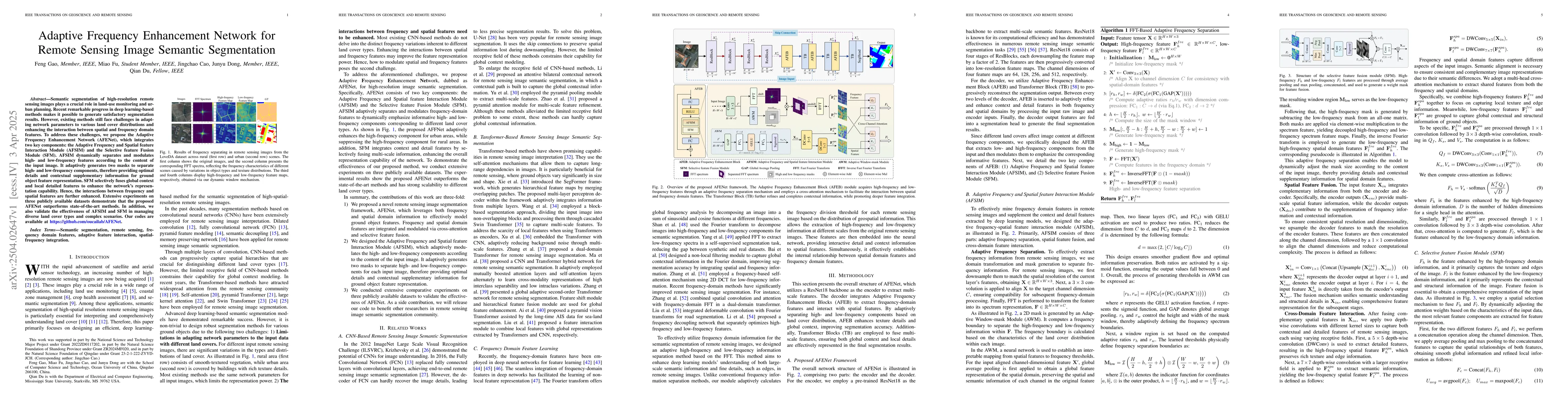
Semantic segmentation of high-resolution remote sensing images plays a crucial role in land-use monitoring and urban planning. Recent remarkable progress in deep learning-based methods makes it possible to generate satisfactory segmentation results. However, existing methods still face challenges in adapting network parameters to various land cover distributions and enhancing the interaction between spatial and frequency domain features. To address these challenges, we propose the Adaptive Frequency Enhancement Network (AFENet), which integrates two key components: the Adaptive Frequency and Spatial feature Interaction Module (AFSIM) and the Selective feature Fusion Module (SFM). AFSIM dynamically separates and modulates high- and low-frequency features according to the content of the input image. It adaptively generates two masks to separate high- and low-frequency components, therefore providing optimal details and contextual supplementary information for ground object feature representation. SFM selectively fuses global context and local detailed features to enhance the network's representation capability. Hence, the interactions between frequency and spatial features are further enhanced. Extensive experiments on three publicly available datasets demonstrate that the proposed AFENet outperforms state-of-the-art methods. In addition, we also validate the effectiveness of AFSIM and SFM in managing diverse land cover types and complex scenarios. Our codes are available at https://github.com/oucailab/AFENet.

AI Key Findings

Generated Jun 10, 2025

Methodology

The research proposes Adaptive Frequency Enhancement Network (AFENet) integrating Adaptive Frequency and Spatial feature Interaction Module (AFSIM) and Selective feature Fusion Module (SFM) to improve semantic segmentation of high-resolution remote sensing images.

Key Results

  • AFENet outperforms state-of-the-art methods on three publicly available datasets.
  • AFSIM dynamically separates and modulates high- and low-frequency features, providing optimal details and contextual information for ground object feature representation.

Significance

This research is important for land-use monitoring and urban planning by enhancing the adaptability of network parameters to various land cover distributions and improving the interaction between spatial and frequency domain features in remote sensing image segmentation.

Technical Contribution

The main technical contribution is the development of AFENet, which includes AFSIM and SFM, to dynamically enhance feature extraction and fusion for remote sensing image semantic segmentation.

Novelty

The novelty of this work lies in the adaptive frequency enhancement approach, AFSIM, and SFM, which effectively manage diverse land cover types and complex scenarios, improving upon existing methods' limitations in handling varying land cover distributions and feature interactions.

Limitations

  • The paper does not discuss limitations explicitly, but potential limitations could include the reliance on large datasets for training and the computational resources required for processing high-resolution images.

Future Work

  • Further investigation into the generalization of AFENet for unseen land cover types and complex scenarios.
  • Exploration of real-time implementation and optimization for edge computing devices in remote sensing applications.

Paper Details

PDF Preview

Download PDF

Key Terms

No key terms available for this paper.

Citation Network

Current paper (gray), citations (green), references (blue)

Current Paper
Citations
References
Click to view

No citations found for this paper.

Comments (0)

This website uses cookies to ensure you get the best experience. Learn more