Quick Summary:

This paper proposes a new method for estimating depth from sparse LiDAR and thermal images in harsh environments, improving completion accuracy by leveraging contrastive learning and pseudo-supervision. The approach overcomes challenges of RGB sensors and ground truth data limitations to enhance depth boundary clarity and achieve reliable performance in well-lit, low-light, and rainy conditions.

Summary

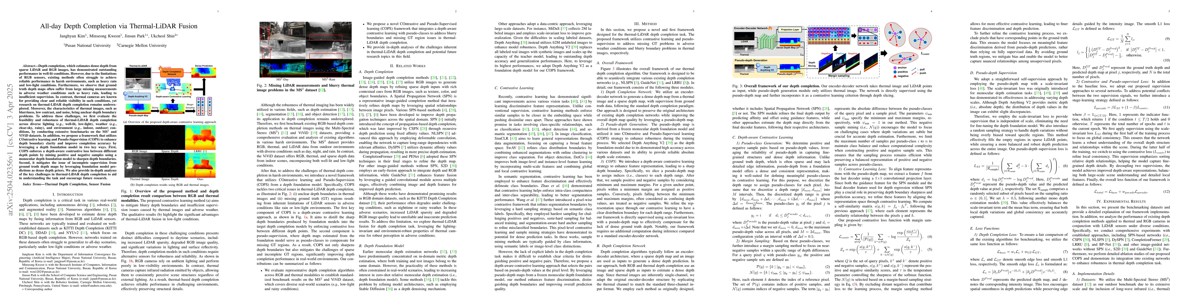
Depth completion, which estimates dense depth from sparse LiDAR and RGB images, has demonstrated outstanding performance in well-lit conditions. However, due to the limitations of RGB sensors, existing methods often struggle to achieve reliable performance in harsh environments, such as heavy rain and low-light conditions. Furthermore, we observe that ground truth depth maps often suffer from large missing measurements in adverse weather conditions such as heavy rain, leading to insufficient supervision. In contrast, thermal cameras are known for providing clear and reliable visibility in such conditions, yet research on thermal-LiDAR depth completion remains underexplored. Moreover, the characteristics of thermal images, such as blurriness, low contrast, and noise, bring unclear depth boundary problems. To address these challenges, we first evaluate the feasibility and robustness of thermal-LiDAR depth completion across diverse lighting (eg., well-lit, low-light), weather (eg., clear-sky, rainy), and environment (eg., indoor, outdoor) conditions, by conducting extensive benchmarks on the MS$^2$ and ViViD datasets. In addition, we propose a framework that utilizes COntrastive learning and Pseudo-Supervision (COPS) to enhance depth boundary clarity and improve completion accuracy by leveraging a depth foundation model in two key ways. First, COPS enforces a depth-aware contrastive loss between different depth points by mining positive and negative samples using a monocular depth foundation model to sharpen depth boundaries. Second, it mitigates the issue of incomplete supervision from ground truth depth maps by leveraging foundation model predictions as dense depth priors. We also provide in-depth analyses of the key challenges in thermal-LiDAR depth completion to aid in understanding the task and encourage future research.

AI Key Findings

Generated Jun 10, 2025

Methodology

The research evaluates thermal-LiDAR depth completion across diverse lighting, weather, and environment conditions using benchmarks on the MS$^2$ and ViViD datasets. It proposes a framework named COPS that utilizes contrastive learning and pseudo-supervision to enhance depth boundary clarity and improve completion accuracy.

Key Results

  • Thermal-LiDAR depth completion shows robustness across various conditions including well-lit, low-light, clear-sky, and rainy scenarios.
  • The COPS framework effectively sharpens depth boundaries using a depth-aware contrastive loss and mitigates incomplete supervision by leveraging foundation model predictions as depth priors.

Significance

This research is important as it addresses the limitations of existing RGB-based depth completion methods in harsh environments and explores the underexplored area of thermal-LiDAR fusion, providing a novel solution for all-day depth perception.

Technical Contribution

The main technical contribution is the COPS framework, which combines contrastive learning and pseudo-supervision to enhance depth boundary clarity and improve depth completion accuracy in thermal-LiDAR fusion.

Novelty

This work stands out by focusing on thermal-LiDAR depth completion, an underexplored area, and proposing a novel COPS framework to tackle challenges posed by harsh environmental conditions and insufficient ground truth data.

Limitations

  • The study acknowledges challenges such as blurriness, low contrast, and noise in thermal images which can affect depth boundary clarity.
  • Ground truth depth maps often have large missing measurements in adverse weather conditions, impacting supervision quality.

Future Work

  • Further investigation into improving thermal image quality to reduce depth boundary unclearness.
  • Exploration of additional datasets and real-world applications to validate the proposed method's performance.

Paper Details

PDF Preview

Download PDF

Key Terms

No key terms available for this paper.

Citation Network

Current paper (gray), citations (green), references (blue)

Current Paper
Citations
References
Click to view

Similar Papers

Found 4 papers

All-day Depth Completion

Zhaoyang Zhang, Hyoungseob Park, Alex Wong et al.

2024-05-28

LiDAR Meta Depth Completion

Ke Li, Dengxin Dai, Lukas Hoyer et al.

2023-08-17

Temporal Lidar Depth Completion

Pietari Kaskela, Philipp Fischer, Timo Roman

2024-06-17

No citations found for this paper.

Comments (0)

This website uses cookies to ensure you get the best experience. Learn more