ArxivLens

Publication

Published: Sep 08, 2025
Categories: cs.RO, cs.SY, eess.SY

Metrics

Source: ArXiv

Quick Answers

What methodology did the authors use?

The research proposes an adaptive coverage control approach integrating UAV-based obstacle detection and terrain assessment with UGV path planning. The environment is modeled as a weighted directed graph with dynamically updated edge weights based on UAV observations. Voronoi-based partitioning and cost-based optimization are used for path planning. More in Methodology →

What are the key results?

The method improves path planning efficiency and reduces traversal costs in dynamic environments — It maintains robust coverage despite dynamic obstacles and muddy terrains More in Key Results →

Why is this work significant?

This research addresses critical challenges in autonomous agricultural monitoring by enabling real-time adaptation to dynamic obstacles and varying terrain conditions, enhancing efficiency and reducing chemical use in precision agriculture. More in Significance →

What are the main limitations?

The approach relies on continuous UAV observations which may have latency issues — It assumes a partially known environment which may not cover all real-world scenarios More in Limitations →

Paper Preview

Abstract

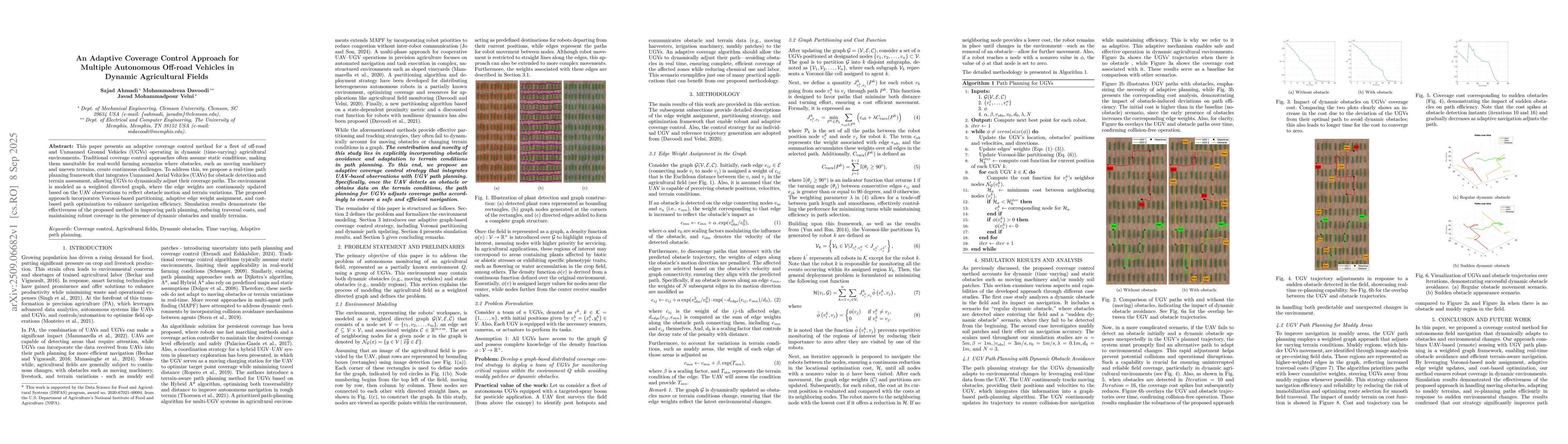
This paper presents an adaptive coverage control method for a fleet of off-road and Unmanned Ground Vehicles (UGVs) operating in dynamic (time-varying) agricultural environments. Traditional coverage control approaches often assume static conditions, making them unsuitable for real-world farming scenarios where obstacles, such as moving machinery and uneven terrains, create continuous challenges. To address this, we propose a real-time path planning framework that integrates Unmanned Aerial Vehicles (UAVs) for obstacle detection and terrain assessment, allowing UGVs to dynamically adjust their coverage paths. The environment is modeled as a weighted directed graph, where the edge weights are continuously updated based on the UAV observations to reflect obstacle motion and terrain variations. The proposed approach incorporates Voronoi-based partitioning, adaptive edge weight assignment, and cost-based path optimization to enhance navigation efficiency. Simulation results demonstrate the effectiveness of the proposed method in improving path planning, reducing traversal costs, and maintaining robust coverage in the presence of dynamic obstacles and muddy terrains.

Key Findings, in focus

Seven facets of this paper, analysed and brought into focus by AI.

AI-generated · verify against source Generated Nov 18, 2025
In focus · one-line synthesis

This research addresses critical challenges in autonomous agricultural monitoring by enabling real-time adaptation to dynamic obstacles and varying terrain conditions, enhancing efficiency and reducing chemical use in precision agriculture.

01
MethodologyHow they did it

The research proposes an adaptive coverage control approach integrating UAV-based obstacle detection and terrain assessment with UGV path planning. The environment is modeled as a weighted directed graph with dynamically updated edge weights based on UAV observations. Voronoi-based partitioning and cost-based optimization are used for path planning.

02
ResultsWhat they found
  • The method improves path planning efficiency and reduces traversal costs in dynamic environments
  • It maintains robust coverage despite dynamic obstacles and muddy terrains
  • Simulation results show effective real-time adaptation to obstacle avoidance and terrain changes
03
SignificanceWhy it matters

This research addresses critical challenges in autonomous agricultural monitoring by enabling real-time adaptation to dynamic obstacles and varying terrain conditions, enhancing efficiency and reducing chemical use in precision agriculture.

04
Technical ContributionsWhat's new technically

Development of a graph-based coverage control strategy with dynamic edge weight assignment, Voronoi partitioning, and cost-based optimization for adaptive path planning

05
NoveltyWhat sets it apart

Explicitly integrating obstacle avoidance and terrain adaptation into path planning, combining UAV observations with UGV navigation in a weighted directed graph framework

06
LimitationsWhat to be cautious about
  • The approach relies on continuous UAV observations which may have latency issues
  • It assumes a partially known environment which may not cover all real-world scenarios
07
Future WorkWhere it goes next
  • Extending the framework to multi-UGV coordination with decentralized decision-making
  • Incorporating machine learning for predictive obstacle modeling
  • Conducting real-world field experiments to validate system performance

Paper Details

Paper ID: 2509.06682
Categories:
cs.RO cs.SY eess.SY

How to Cite This Paper

Reference manager: RIS EndNote


Discussion 0

This website uses cookies to ensure you get the best experience. Learn more