Summary
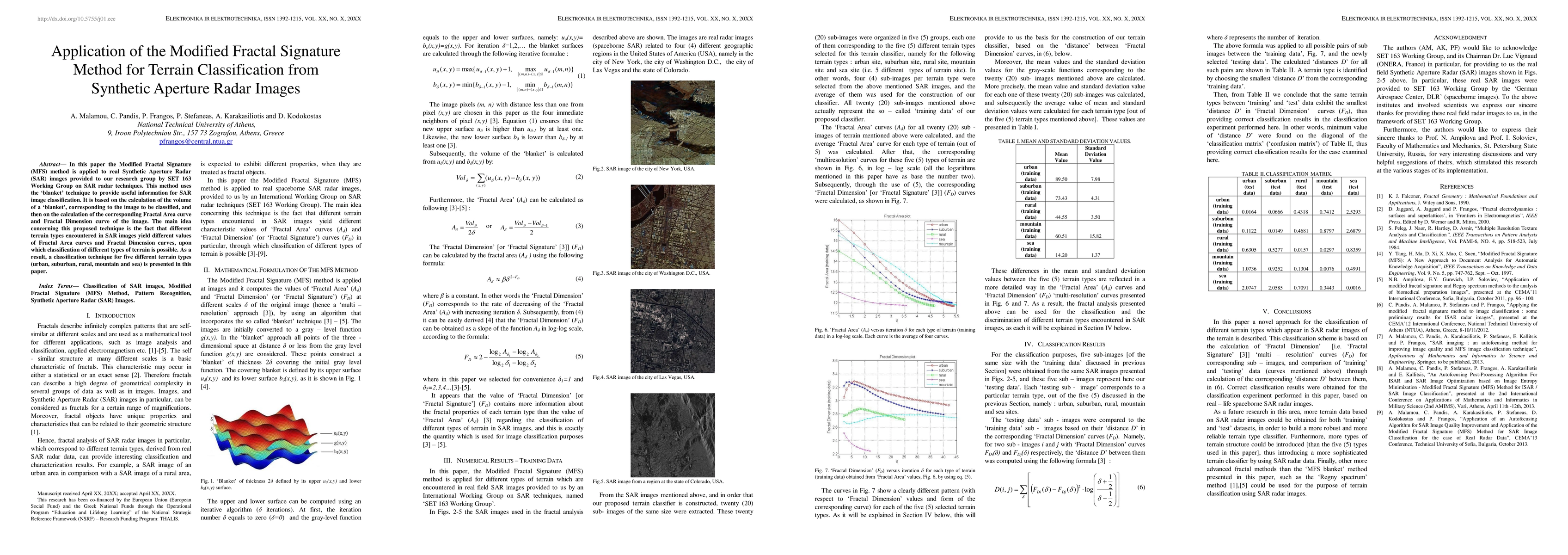
In this paper the Modified Fractal Signature method is applied to real Synthetic Aperture Radar images provided to our research group by SET 163 Working Group on SAR radar techniques. This method uses the blanket technique to provide useful information for SAR image classification. It is based on the calculation of the volume of a blanket, corresponding to the image to be classified, and then on the calculation of the corresponding Fractal Area curve and Fractal Dimension curve of the image. The main idea concerning this proposed technique is the fact that different terrain types encountered in SAR images yield different values of Fractal Area curves and Fractal Dimension curves, upon which classification of different types of terrain is possible. As a result, a classification technique for five different terrain types, i.e. urban, suburban, rural, mountain and sea, is presented in this paper.
AI Key Findings
Get AI-generated insights about this paper's methodology, results, and significance.
Paper Details
PDF Preview
Key Terms
Citation Network
Current paper (gray), citations (green), references (blue)
Display is limited for performance on very large graphs.
Similar Papers
Found 4 papers| Title | Authors | Year | Actions |
|---|

Comments (0)