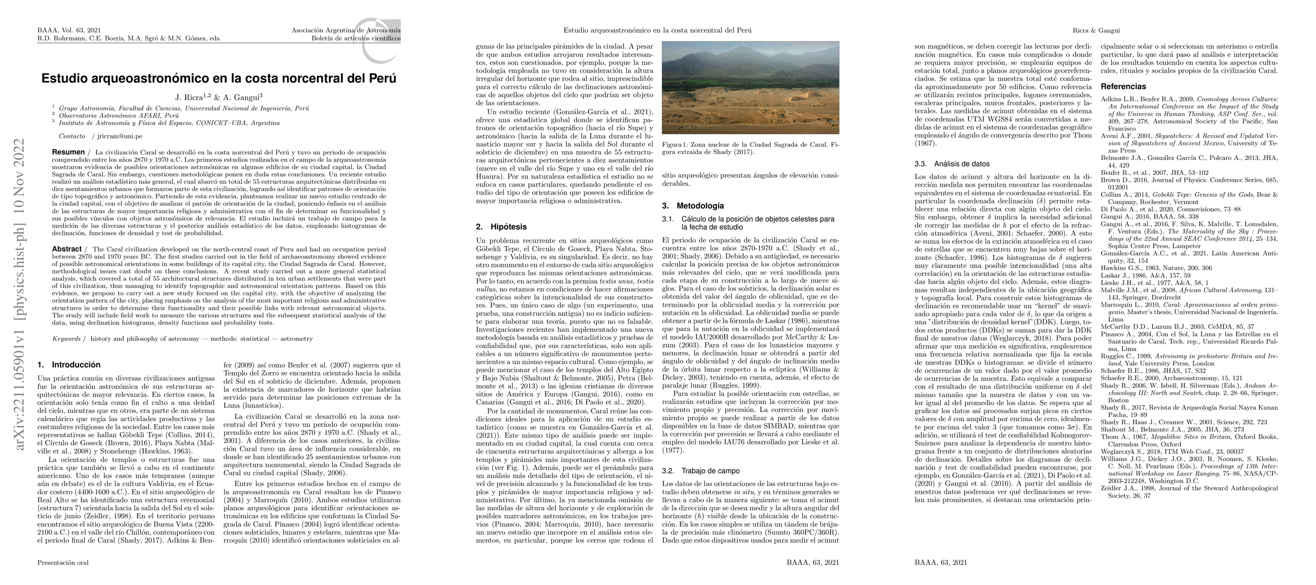
Archaeoastronomical study on the north-central coast of Peru
Publication
Metrics
AI Quick Summary
This study investigates the astronomical orientations of the Caral civilization's structures on Peru's north-central coast, revealing patterns through statistical analysis of 55 buildings across ten settlements. The research aims to further analyze the city's capital, focusing on religious and administrative buildings to determine their functionality and astronomical significance.
Paper Preview
Abstract
The Caral civilization developed on the north-central coast of Peru and had an occupation period between 2870 and 1970 years BC. The first studies carried out in the field of archaeoastronomy showed evidence of possible astronomical orientations in some buildings of its capital city, the Ciudad Sagrada de Caral. However, methodological issues cast doubt on these conclusions. A recent study carried out a more general statistical analysis, which covered a total of 55 architectural structures distributed in ten urban settlements that were part of this civilization, thus managing to identify topographic and astronomical orientation patterns. Based on this evidence, we propose to carry out a new study focused on the capital city, with the objective of analyzing the orientation pattern of the city, placing emphasis on the analysis of the most important religious and administrative structures in order to determine their functionality and their possible links with relevant astronomical objects. The study will include field work to measure the various structures and the subsequent statistical analysis of the data, using declination histograms, density functions and probability tests.
AI Key Findings
Get AI-generated insights about this paper's methodology, results, significance, and more — seven facets brought into focus.
Impact
Paper Details
Authors
PDF Preview
Key Terms
Citation Network
Current paper (gray), citations (green), references (blue)
Display is limited for performance on very large graphs.
Discussion 0