Quick Summary:

This paper explores methods to enhance the efficiency of lidar localization in autonomous vehicles by integrating Doppler odometry and controlling update frequencies, balancing accuracy and computational load. Experimental results show that localizing every 10 lidar frames achieves a good compromise, maintaining accuracy below 0.05 meters and reducing computational effort by over 30%.

Summary

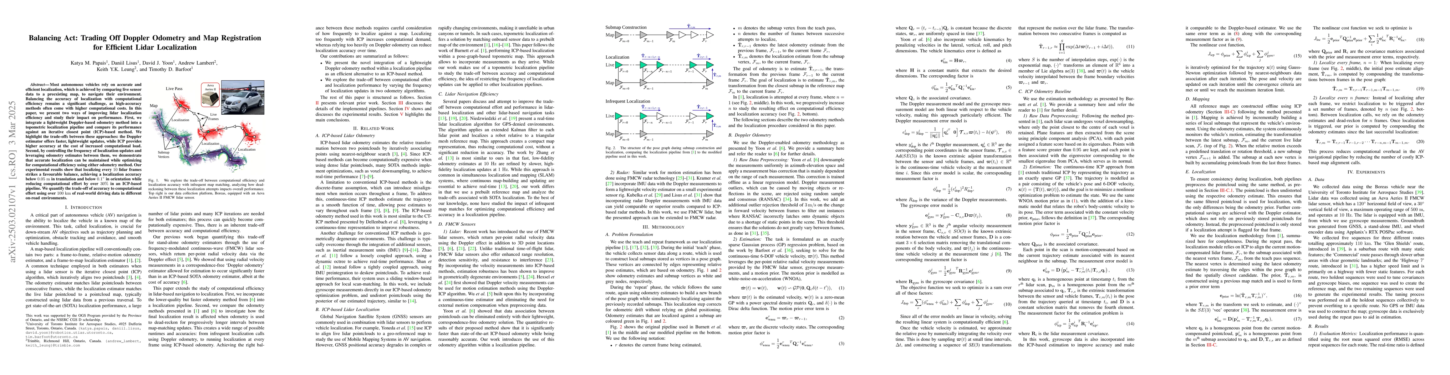
Most autonomous vehicles rely on accurate and efficient localization, which is achieved by comparing live sensor data to a preexisting map, to navigate their environment. Balancing the accuracy of localization with computational efficiency remains a significant challenge, as high-accuracy methods often come with higher computational costs. In this paper, we present two ways of improving lidar localization efficiency and study their impact on performance. First, we integrate a lightweight Doppler-based odometry method into a topometric localization pipeline and compare its performance against an iterative closest point (ICP)-based method. We highlight the trade-offs between these approaches: the Doppler estimator offers faster, lightweight updates, while ICP provides higher accuracy at the cost of increased computational load. Second, by controlling the frequency of localization updates and leveraging odometry estimates between them, we demonstrate that accurate localization can be maintained while optimizing for computational efficiency using either odometry method. Our experimental results show that localizing every 10 lidar frames strikes a favourable balance, achieving a localization accuracy below 0.05 meters in translation and below 0.1 degrees in orientation while reducing computational effort by over 30% in an ICP-based pipeline. We quantify the trade-off of accuracy to computational effort using over 100 kilometers of real-world driving data in different on-road environments.

AI Key Findings

Generated Jun 10, 2025

Methodology

The paper presents a localization pipeline for autonomous vehicles using lidar data, comparing Doppler-based odometry with iterative closest point (ICP) method. It explores the trade-off between computational efficiency and localization accuracy by adjusting the frequency of localization updates.

Key Results

  • Localizing every 10 lidar frames strikes a balance, achieving localization accuracy below 0.05 meters in translation and below 0.1 degrees in orientation.
  • The Doppler estimator offers faster, lightweight updates, while ICP provides higher accuracy at the cost of increased computational load.
  • Reducing localization frequency to every 10 frames results in over 30% reduction in computational effort in an ICP-based pipeline.

Significance

This research is significant as it addresses the challenge of balancing localization accuracy with computational efficiency, crucial for real-time navigation in autonomous vehicles.

Technical Contribution

The paper introduces a lightweight Doppler odometry method integrated into a topological localization pipeline, demonstrating its efficiency in reducing computational load without significant accuracy loss.

Novelty

The novelty of this work lies in its approach to trading off Doppler odometry and map registration for efficient lidar localization, offering insights into optimizing localization pipelines for real-time autonomous vehicle navigation.

Limitations

  • The study is limited to specific lidar sensors and does not explore a wide range of sensor types or environmental conditions.
  • The methodology relies on ground truth data generated from GNSS, IMU, and wheel encoder data, which might not be available in all scenarios.

Future Work

  • Explore the use of dynamic intervals for localization frequency adjustment based on system performance metrics.
  • Investigate the applicability of the proposed methods to other sensor modalities, such as cameras and radar.

Paper Details

PDF Preview

Download PDF

Key Terms

No key terms available for this paper.

Citation Network

Current paper (gray), citations (green), references (blue)

Current Paper
Citations
References
Click to view
Title Authors Year Actions
Doppler-SLAM: Doppler-Aided Radar-Inertial and LiDAR-Inertial Simultaneous Localization and Mapping
Dong Wang, Hannes Haag, Daniel Casado Herraez, Stefan May, C. Stachniss, Andreas Nuechter
2025
View Paper

Comments (0)

This website uses cookies to ensure you get the best experience. Learn more