Bayesian Inference for Multivariate Spatial Models with R-INLA
Publication
Metrics
AI Quick Summary
This paper demonstrates the application of R-INLA for Bayesian inference in multivariate spatial models, showcasing its utility through the analysis of three publicly available datasets and providing detailed R code for reproducibility. The study highlights R-INLA as a robust toolbox for handling complex multivariate spatial data.
Paper Preview
Abstract
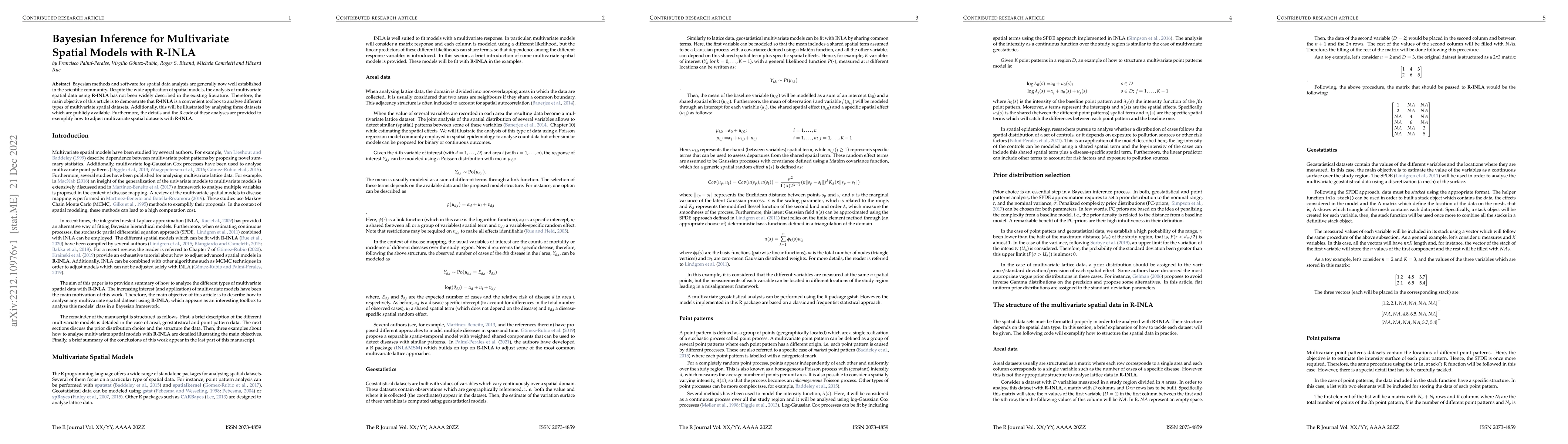
Bayesian methods and software for spatial data analysis are generally now well established in the scientific community. Despite the wide application of spatial models, the analysis of multivariate spatial data using R-INLA has not been widely described in the existing literature. Therefore, the main objective of this article is to demonstrate that R-INLA is a convenient toolbox to analyse different types of multivariate spatial datasets. Additionally, this will be illustrated by analysing three datasets which are publicly available. Furthermore, the details and the R code of these analyses are provided to exemplify how to adjust multivariate spatial datasets with R-INLA.
AI Key Findings
Get AI-generated insights about this paper's methodology, results, significance, and more — seven facets brought into focus.
Impact
Paper Details
Authors
PDF Preview
Key Terms
Citation Network
Current paper (gray), citations (green), references (blue)
Display is limited for performance on very large graphs.
Discussion 0