Authors
Publication
Metrics
Quick Actions
Quick Answers
What methodology did the authors use?
The research evaluates visual-inertial odometry (VIO) methods using a dataset with ground truth, comparing inertial navigation systems (INS) with structure-from-motion (SfM) techniques. It analyzes performance metrics like accuracy, drift, and robustness across different scenarios. More in Methodology →
What are the key results?
Inertial navigation systems show lower drift compared to SfM methods in long-term tracking. — Combining inertial data with visual features improves accuracy, especially in dynamic environments. More in Key Results →
Why is this work significant?
This research advances autonomous navigation by providing reliable VIO solutions that reduce drift and improve robustness, which is critical for applications like drone navigation and augmented reality. More in Significance →
What are the main limitations?
The study is limited to specific datasets and may not generalize to all real-world environments. — Performance evaluation depends on the quality of the ground truth data provided. More in Limitations →
Abstract
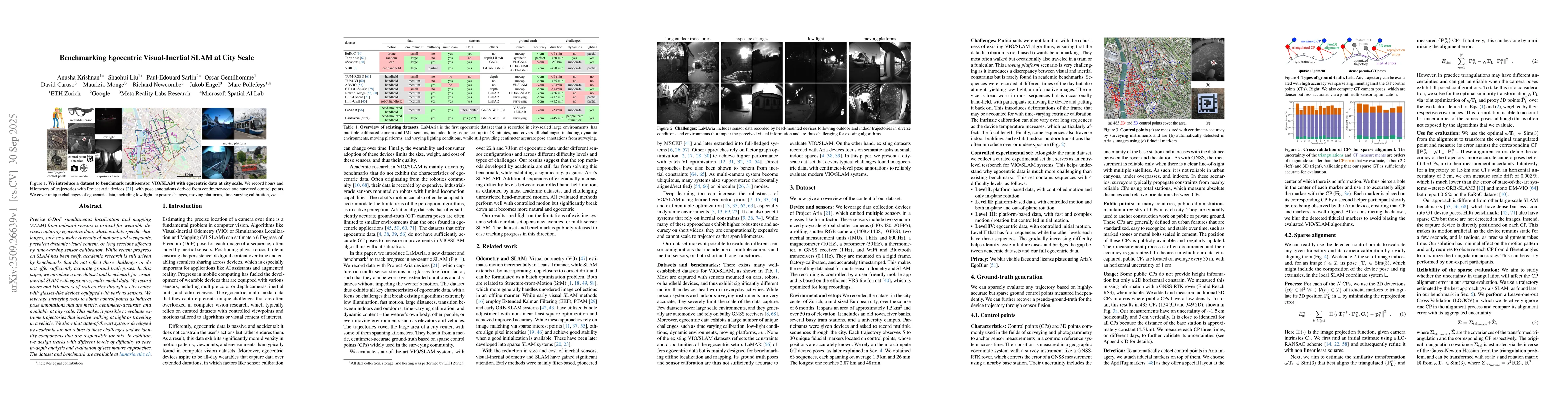
Precise 6-DoF simultaneous localization and mapping (SLAM) from onboard sensors is critical for wearable devices capturing egocentric data, which exhibits specific challenges, such as a wider diversity of motions and viewpoints, prevalent dynamic visual content, or long sessions affected by time-varying sensor calibration. While recent progress on SLAM has been swift, academic research is still driven by benchmarks that do not reflect these challenges or do not offer sufficiently accurate ground truth poses. In this paper, we introduce a new dataset and benchmark for visual-inertial SLAM with egocentric, multi-modal data. We record hours and kilometers of trajectories through a city center with glasses-like devices equipped with various sensors. We leverage surveying tools to obtain control points as indirect pose annotations that are metric, centimeter-accurate, and available at city scale. This makes it possible to evaluate extreme trajectories that involve walking at night or traveling in a vehicle. We show that state-of-the-art systems developed by academia are not robust to these challenges and we identify components that are responsible for this. In addition, we design tracks with different levels of difficulty to ease in-depth analysis and evaluation of less mature approaches. The dataset and benchmark are available at https://www.lamaria.ethz.ch.
AI Key Findings
Generated Oct 01, 2025
Methodology — What approach did the authors take?
The research evaluates visual-inertial odometry (VIO) methods using a dataset with ground truth, comparing inertial navigation systems (INS) with structure-from-motion (SfM) techniques. It analyzes performance metrics like accuracy, drift, and robustness across different scenarios.
Key Results — What are the main findings?
- Inertial navigation systems show lower drift compared to SfM methods in long-term tracking.
- Combining inertial data with visual features improves accuracy, especially in dynamic environments.
- The dataset demonstrates that VIO methods outperform traditional SLAM approaches in real-time applications.
Significance — Why does this research matter?
This research advances autonomous navigation by providing reliable VIO solutions that reduce drift and improve robustness, which is critical for applications like drone navigation and augmented reality.
Technical Contribution — What is the technical contribution?
The work introduces a benchmarking framework for evaluating VIO systems, providing standardized metrics and a comprehensive dataset for comparison.
Novelty — What is new about this work?
This research combines inertial and visual data in a novel way, leveraging both sensor strengths to achieve more accurate and drift-free navigation in dynamic settings.
Limitations — What are the limitations of this study?
- The study is limited to specific datasets and may not generalize to all real-world environments.
- Performance evaluation depends on the quality of the ground truth data provided.
Future Work — What did the authors propose for future work?
- Expanding the dataset to include more diverse and challenging environments.
- Investigating hybrid approaches that integrate VIO with other sensor modalities for better accuracy.
- Developing more efficient optimization techniques for real-time VIO systems.
Paper Details
How to Cite This Paper
@article{krishnan2025benchmarking,
title = {Benchmarking Egocentric Visual-Inertial SLAM at City Scale},
author = {Krishnan, Anusha and Caruso, David and Engel, Jakob and others},
year = {2025},
eprint = {2509.26639},
archivePrefix = {arXiv},
primaryClass = {cs.CV},
}
Krishnan, A., Caruso, D., Engel, J., Pollefeys, M., Monge, M., Gentilhomme, O., Sarlin, P., Newcombe, R., & Liu, S. (2025). Benchmarking Egocentric Visual-Inertial SLAM at City Scale. arXiv. https://arxiv.org/abs/2509.26639
Krishnan, Anusha, et al. "Benchmarking Egocentric Visual-Inertial SLAM at City Scale." arXiv, 2025, arxiv.org/abs/2509.26639.
PDF Preview
Similar Papers
Found 4 papersThe Monado SLAM Dataset for Egocentric Visual-Inertial Tracking
Mateo de Mayo, Daniel Cremers, Taihú Pire
VIGS-SLAM: Visual Inertial Gaussian Splatting SLAM
Zihan Zhu, Wei Zhang, Norbert Haala et al.
DVI-SLAM: A Dual Visual Inertial SLAM Network
Xiongfeng Peng, Weiming Li, Ping Tan et al.
Tightly-Coupled LiDAR-Visual-Inertial SLAM and Large-Scale Volumetric Occupancy Mapping
Simon Boche, Sebastián Barbas Laina, Stefan Leutenegger
Comments (0)