Summary
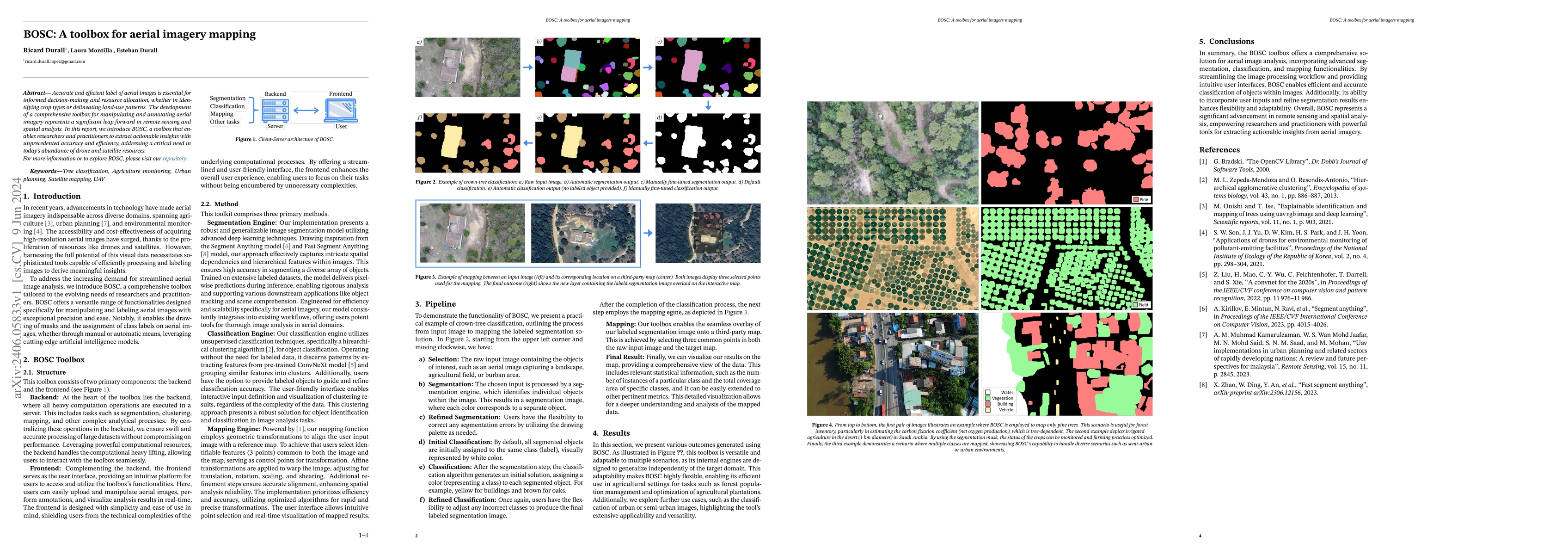
Accurate and efficient label of aerial images is essential for informed decision-making and resource allocation, whether in identifying crop types or delineating land-use patterns. The development of a comprehensive toolbox for manipulating and annotating aerial imagery represents a significant leap forward in remote sensing and spatial analysis. In this report, we introduce BOSC, a toolbox that enables researchers and practitioners to extract actionable insights with unprecedented accuracy and efficiency, addressing a critical need in today's abundance of drone and satellite resources. For more information or to explore BOSC, please visit our repository.
AI Key Findings
Get AI-generated insights about this paper's methodology, results, and significance.
Paper Details
PDF Preview
Key Terms
Citation Network
Current paper (gray), citations (green), references (blue)
Display is limited for performance on very large graphs.
Similar Papers
Found 4 papersLandCover.ai: Dataset for Automatic Mapping of Buildings, Woodlands, Water and Roads from Aerial Imagery
Adrian Boguszewski, Dominik Batorski, Natalia Ziemba-Jankowska et al.
Visual place recognition for aerial imagery: A survey
Ivan Moskalenko, Anastasiia Kornilova, Gonzalo Ferrer
No citations found for this paper.

Comments (0)