Bridging Data and Experiences: Engaging Youth in Digital Civics through Participatory Mapmaking for Resilience
Publication
Metrics
AI Quick Summary
The paper describes a participatory map-making workshop with middle school students in Savannah, Georgia, where they used a platform to explore local natural disasters through spatial data, bridging their personal experiences and broader environmental issues. The study highlights the potential of maps to facilitate youth engagement in digital civics and resilience.
Paper Preview
Abstract
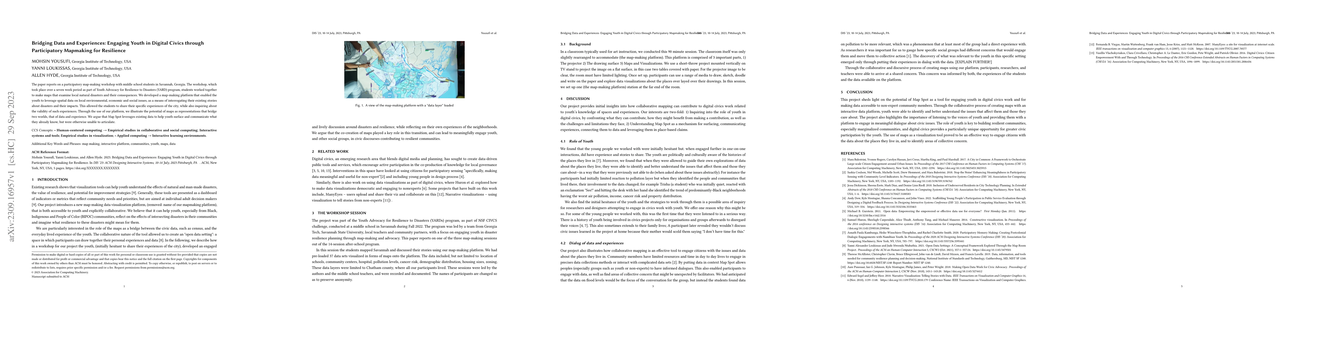
The paper reports on a participatory map-making workshop with middle school students in Savannah, Georgia. The workshop, which took place over a seven week period as part of Youth Advocacy for Resilience to Disasters (YARD) program, students worked together to make maps that examine local natural disasters and their consequences. We developed a map-making platform that enabled the youth to leverage spatial data on local environmental, economic and social issues, as a means of interrogating their existing stories about disasters and their impacts. This allowed the students to share their specific experiences of the city, while also inquiring about the validity of such experiences. Through the use of our platform, we illustrate the potential of maps as representations that bridge two worlds, that of data and experience. We argue that Map Spot leverages existing data to help youth surface and communicate what they already know, but were otherwise unable to articulate
AI Key Findings
Get AI-generated insights about this paper's methodology, results, significance, and more — seven facets brought into focus.
Impact
Paper Details
Authors
PDF Preview
Key Terms
Citation Network
Current paper (gray), citations (green), references (blue)
Display is limited for performance on very large graphs.
Discussion 0