Capturing vehicular space headway using low-cost LIDAR and processing through ARIMA prediction modeling
Publication
Metrics
AI Quick Summary
This paper presents a low-cost system using a single-beam LIDAR, GPS, and camera to capture vehicular space headway data, integrating multiple sensors for efficient data collection. The data is processed using ARIMA prediction modeling and mean-filtering to minimize outliers, enabling cost-effective car-following and speed-density analysis.
Paper Preview
Abstract
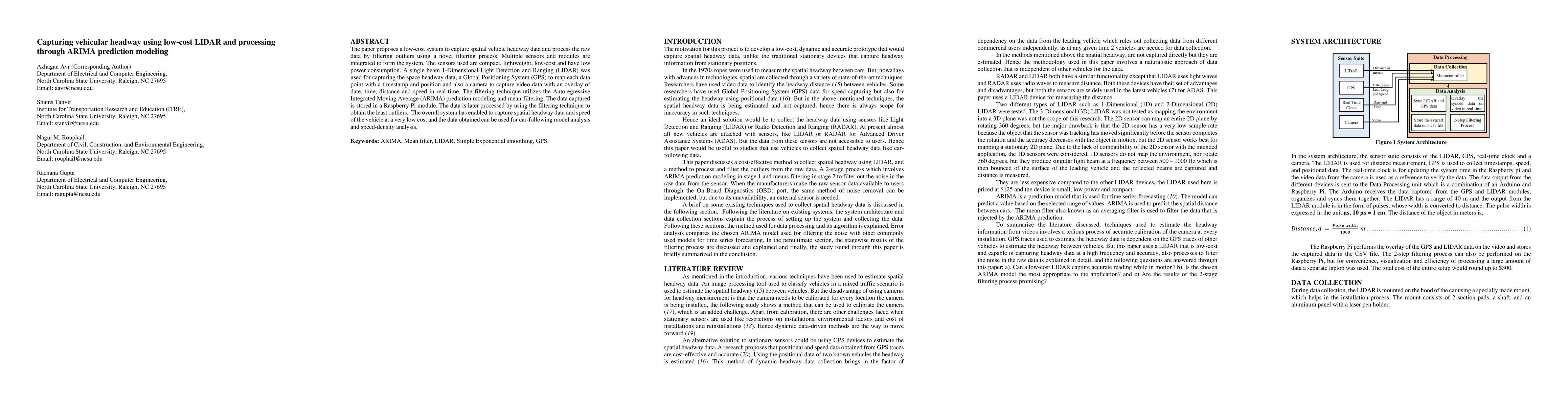
The paper proposes a low-cost system to capture spatial vehicle headway data and process the raw data by filtering outliers using a novel filtering process. Multiple sensors and modules are integrated to form the system. The sensors used are compact, lightweight, low-cost and have low power consumption. A single beam 1-Dimensional Light Detection and Ranging (LIDAR) was used for capturing the space headway data, a Global Positioning System (GPS) to map each data point with a timestamp and position and also a camera to capture video data with an overlay of date, time, distance and speed in real-time. The filtering technique utilizes the Autoregressive Integrated Moving Average (ARIMA) prediction modeling and mean-filtering. The data captured is stored in a Raspberry Pi module. The data is later processed by using the filtering technique to obtain the least outliers. The overall system has enabled to capture spatial headway data and speed of the vehicle at a very low cost and the data obtained can be used for car-following model analysis and speed-density analysis.
AI Key Findings
Get AI-generated insights about this paper's methodology, results, significance, and more — seven facets brought into focus.
Impact
Paper Details
PDF Preview
Key Terms
Citation Network
Current paper (gray), citations (green), references (blue)
Display is limited for performance on very large graphs.
Discussion 0