Quick Summary:

This paper proposes a CenterSeg classifier for semantic segmentation of remote sensing images, addressing the challenges of large intraclass variance. It introduces multiple prototypes and direct supervision on the Grassmann manifold, enhancing modeling ability and interpretability, and demonstrates superior performance on three datasets.

Summary

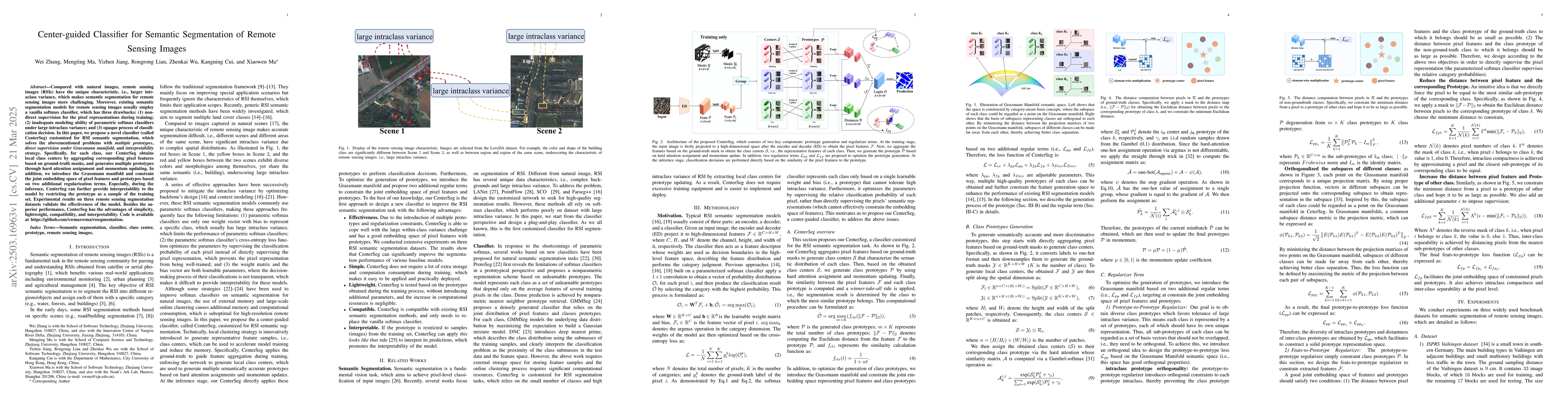
Compared with natural images, remote sensing images (RSIs) have the unique characteristic. i.e., larger intraclass variance, which makes semantic segmentation for remote sensing images more challenging. Moreover, existing semantic segmentation models for remote sensing images usually employ a vanilla softmax classifier, which has three drawbacks: (1) non-direct supervision for the pixel representations during training; (2) inadequate modeling ability of parametric softmax classifiers under large intraclass variance; and (3) opaque process of classification decision. In this paper, we propose a novel classifier (called CenterSeg) customized for RSI semantic segmentation, which solves the abovementioned problems with multiple prototypes, direct supervision under Grassmann manifold, and interpretability strategy. Specifically, for each class, our CenterSeg obtains local class centers by aggregating corresponding pixel features based on ground-truth masks, and generates multiple prototypes through hard attention assignment and momentum updating. In addition, we introduce the Grassmann manifold and constrain the joint embedding space of pixel features and prototypes based on two additional regularization terms. Especially, during the inference, CenterSeg can further provide interpretability to the model by restricting the prototype as a sample of the training set. Experimental results on three remote sensing segmentation datasets validate the effectiveness of the model. Besides the superior performance, CenterSeg has the advantages of simplicity, lightweight, compatibility, and interpretability. Code is available at https://github.com/xwmaxwma/rssegmentation.

AI Key Findings

Generated Jun 10, 2025

Methodology

The paper proposes a novel classifier, CenterSeg, for semantic segmentation of remote sensing images, addressing challenges posed by large intraclass variance in RSIs. CenterSeg utilizes local class centers to generate multiple prototypes via hard attention assignment and momentum updating, constraining the joint embedding space of pixel features and prototypes on a Grassmann manifold.

Key Results

  • CenterSeg significantly improves the performance of various RSI segmentation models on three benchmark datasets: ISPRS Vaihingen, ISPRS Potsdam, and LoveDA.
  • CenterSeg is particularly effective for small object segmentation (e.g., trees and cars) on the Vaihingen dataset and for 'low vegetation' on the Potsdam dataset.
  • CenterSeg outperforms recent popular methods on all three datasets, including PEM, FarSeg++, and LOGCAN++.
  • CenterSeg provides better visualization performance, effectively fragmenting small objects and distinguishing categories like 'car' in Vaihingen and 'tree' in Potsdam datasets.
  • The prototype-based classification in CenterSeg offers clear decision rules and strong interpretability, distinguishing geo-objects as natural (e.g., trees) or artificial (e.g., buildings, roads) entities.

Significance

This research is significant as it proposes a customized class-centered generative multi-prototype strategy and appropriate regularization terms tailored for remote sensing images, enhancing segmentation performance and efficiency.

Technical Contribution

The technical contribution lies in the development of CenterSeg, a novel classifier that generates multiple prototypes for each class using local class centers, constrained on a Grassmann manifold, to improve the semantic segmentation of remote sensing images.

Novelty

CenterSeg introduces a class-centered generative multi-prototype strategy with Grassmann manifold regularization, specifically designed for remote sensing images, addressing their unique challenges and offering superior performance compared to existing methods.

Limitations

  • The paper does not extensively discuss limitations, but potential limitations could include computational complexity with an increasing number of prototypes and the need for large-scale annotated datasets for training.
  • The study focuses on specific datasets and may not generalize well to other types of remote sensing images without further validation.

Future Work

  • Investigate the scalability of CenterSeg for very high-resolution remote sensing images.
  • Explore the application of CenterSeg for other computer vision tasks, such as object detection or change detection in remote sensing imagery.

Paper Details

PDF Preview

Download PDF

Key Terms

No key terms available for this paper.

Citation Network

Current paper (gray), citations (green), references (blue)

Current Paper
Citations
References
Click to view

No citations found for this paper.

Comments (0)

This website uses cookies to ensure you get the best experience. Learn more