Closed-Form Full Map Posteriors for Robot Localization with Lidar Sensors
Publication
Metrics
Paper Preview
Abstract
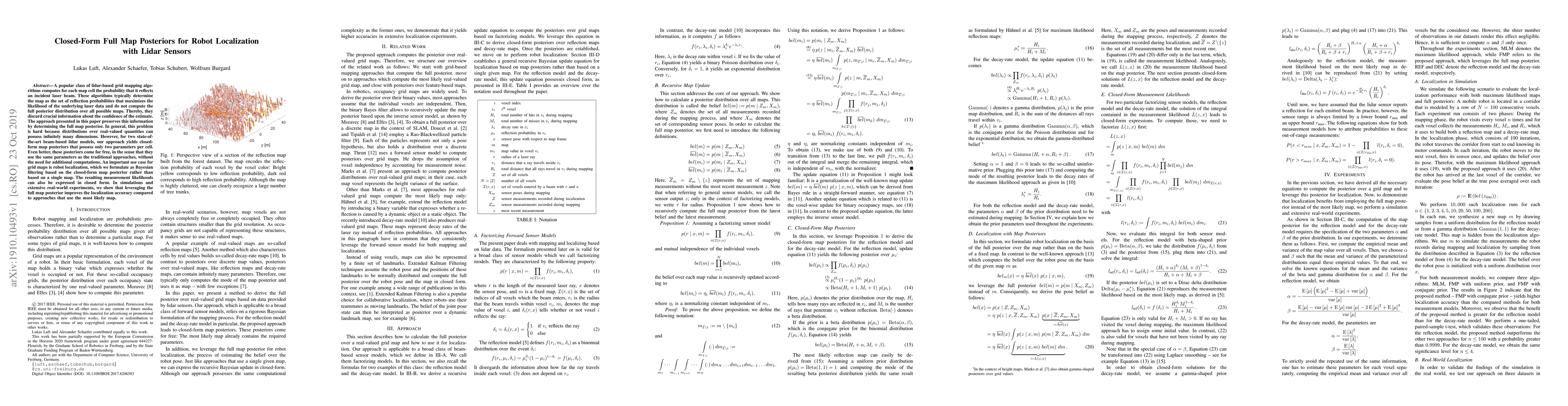
A popular class of lidar-based grid mapping algorithms computes for each map cell the probability that it reflects an incident laser beam. These algorithms typically determine the map as the set of reflection probabilities that maximizes the likelihood of the underlying laser data and do not compute the full posterior distribution over all possible maps. Thereby, they discard crucial information about the confidence of the estimate. The approach presented in this paper preserves this information by determining the full map posterior. In general, this problem is hard because distributions over real-valued quantities can possess infinitely many dimensions. However, for two state-of-the-art beam-based lidar models, our approach yields closed-form map posteriors that possess only two parameters per cell. Even better, these posteriors come for free, in the sense that they use the same parameters as the traditional approaches, without the need for additional computations. An important use case for grid maps is robot localization, which we formulate as Bayesian filtering based on the closed-form map posterior rather than based on a single map. The resulting measurement likelihoods can also be expressed in closed form. In simulations and extensive real-world experiments, we show that leveraging the full map posterior improves the localization accuracy compared to approaches that use the most likely map.
AI Key Findings
Get AI-generated insights about this paper's methodology, results, significance, and more — seven facets brought into focus.
Impact
Paper Details
Authors
PDF Preview
Key Terms
Citation Network
Current paper (gray), citations (green), references (blue)
Display is limited for performance on very large graphs.
Discussion 0