CMU-GPR Dataset: Ground Penetrating Radar Dataset for Robot Localization and Mapping
Publication
Metrics
AI Quick Summary
This paper introduces the CMU-GPR dataset, an open-source collection of ground penetrating radar data for robot localization and mapping, with 15 sequences from indoor GPS-denied environments. The dataset includes GPR, wheel encoder, RGB camera, and IMU data, along with utility code for processing GPR data and methods for its use in research.
Paper Preview
Abstract
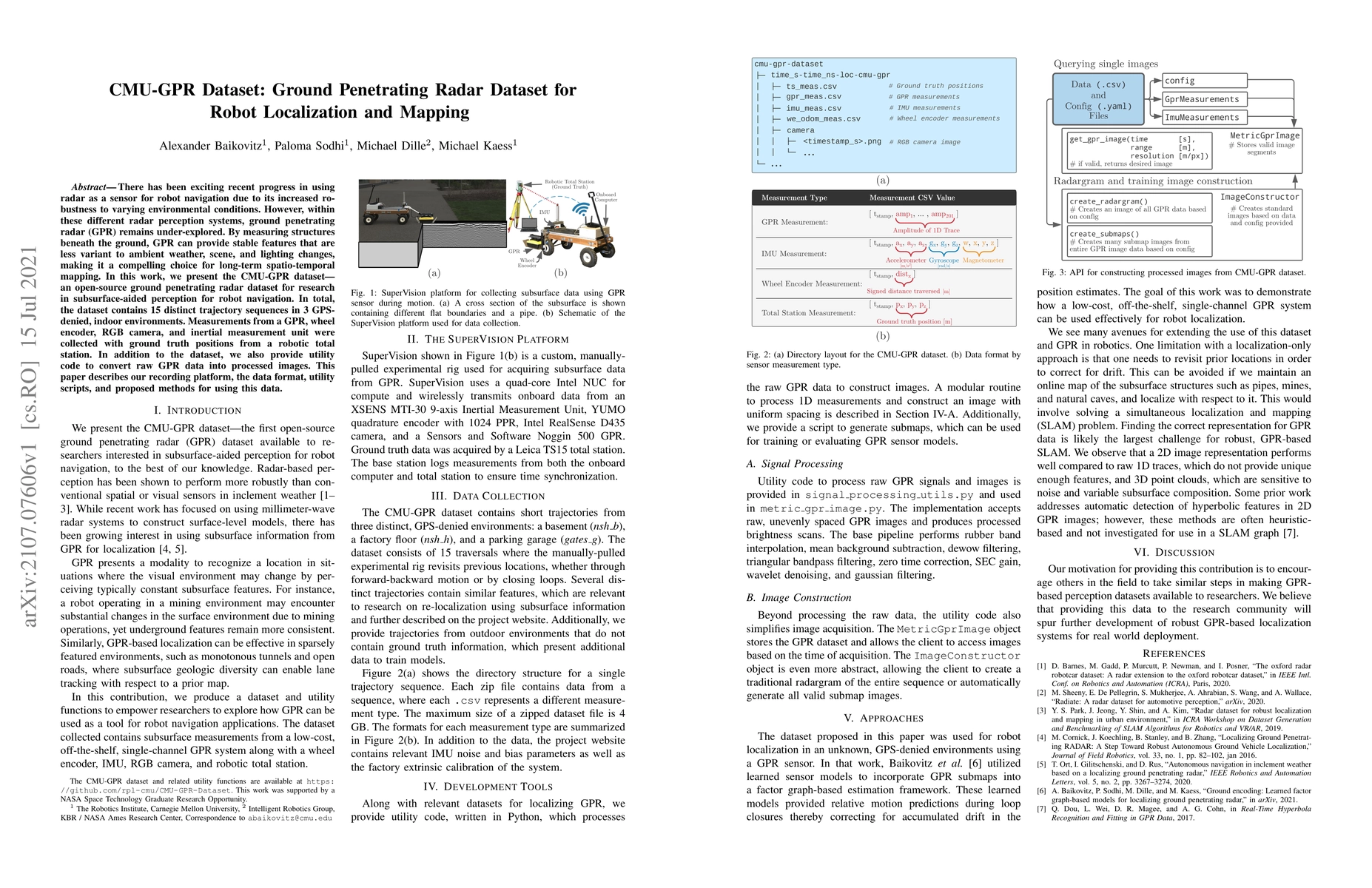
There has been exciting recent progress in using radar as a sensor for robot navigation due to its increased robustness to varying environmental conditions. However, within these different radar perception systems, ground penetrating radar (GPR) remains under-explored. By measuring structures beneath the ground, GPR can provide stable features that are less variant to ambient weather, scene, and lighting changes, making it a compelling choice for long-term spatio-temporal mapping. In this work, we present the CMU-GPR dataset--an open-source ground penetrating radar dataset for research in subsurface-aided perception for robot navigation. In total, the dataset contains 15 distinct trajectory sequences in 3 GPS-denied, indoor environments. Measurements from a GPR, wheel encoder, RGB camera, and inertial measurement unit were collected with ground truth positions from a robotic total station. In addition to the dataset, we also provide utility code to convert raw GPR data into processed images. This paper describes our recording platform, the data format, utility scripts, and proposed methods for using this data.
AI Key Findings
Get AI-generated insights about this paper's methodology, results, significance, and more — seven facets brought into focus.
Impact
Paper Details
Authors
PDF Preview
Key Terms
Citation Network
Current paper (gray), citations (green), references (blue)
Display is limited for performance on very large graphs.
Discussion 0