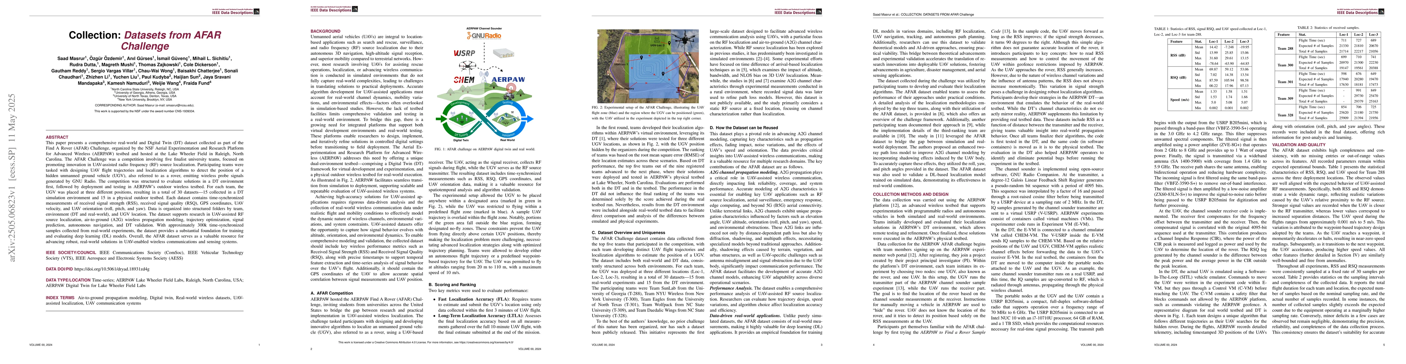
This paper presents a comprehensive real-world and Digital Twin (DT) dataset
collected as part of the Find A Rover (AFAR) Challenge, organized by the NSF
Aerial Experimentation and Research Platform for Advanced Wireless (AERPAW)
testbed and hosted at the Lake Wheeler Field in Raleigh, North Carolina. The
AFAR Challenge was a competition involving five finalist university teams,
focused on promoting innovation in UAV-assisted radio frequency (RF) source
localization. Participating teams were tasked with designing UAV flight
trajectories and localization algorithms to detect the position of a hidden
unmanned ground vehicle (UGV), also referred to as a rover, emitting wireless
probe signals generated by GNU Radio. The competition was structured to
evaluate solutions in a DT environment first, followed by deployment and
testing in AERPAW's outdoor wireless testbed. For each team, the UGV was placed
at three different positions, resulting in a total of 30 datasets, 15 collected
in a DT simulation environment and 15 in a physical outdoor testbed. Each
dataset contains time-synchronized measurements of received signal strength
(RSS), received signal quality (RSQ), GPS coordinates, UAV velocity, and UAV
orientation (roll, pitch, and yaw). Data is organized into structured folders
by team, environment (DT and real-world), and UGV location. The dataset
supports research in UAV-assisted RF source localization, air-to-ground (A2G)
wireless propagation modeling, trajectory optimization, signal prediction,
autonomous navigation, and DT validation. With approximately 300k
time-synchronized samples collected from real-world experiments, the dataset
provides a substantial foundation for training and evaluating deep learning
(DL) models. Overall, the AFAR dataset serves as a valuable resource for
advancing robust, real-world solutions in UAV-enabled wireless communications
and sensing systems.
Discussion 0