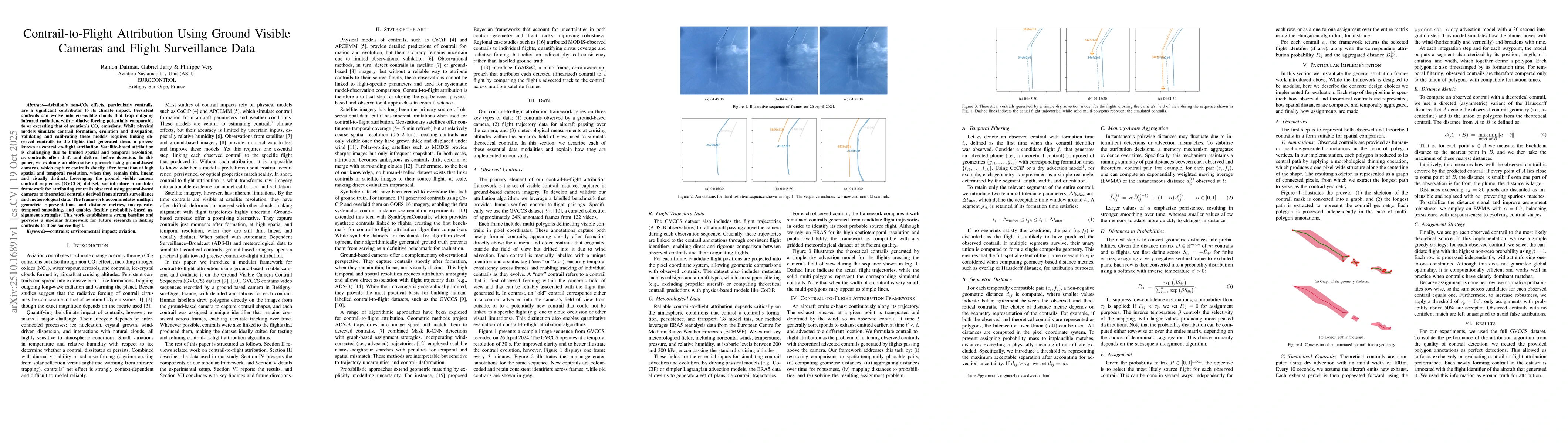
Aviation's non-CO2 effects, particularly contrails, are a significant
contributor to its climate impact. Persistent contrails can evolve into
cirrus-like clouds that trap outgoing infrared radiation, with radiative
forcing potentially comparable to or exceeding that of aviation's CO2
emissions. While physical models simulate contrail formation, evolution and
dissipation, validating and calibrating these models requires linking observed
contrails to the flights that generated them, a process known as
contrail-to-flight attribution. Satellite-based attribution is challenging due
to limited spatial and temporal resolution, as contrails often drift and deform
before detection. In this paper, we evaluate an alternative approach using
ground-based cameras, which capture contrails shortly after formation at high
spatial and temporal resolution, when they remain thin, linear, and visually
distinct. Leveraging the ground visible camera contrail sequences (GVCCS)
dataset, we introduce a modular framework for attributing contrails observed
using ground-based cameras to theoretical contrails derived from aircraft
surveillance and meteorological data. The framework accommodates multiple
geometric representations and distance metrics, incorporates temporal
smoothing, and enables flexible probability-based assignment strategies. This
work establishes a strong baseline and provides a modular framework for future
research in linking contrails to their source flight.
Discussion 0