The paper proposes a cooperative Integrated Sensing and Communication (ISAC) network for off-grid imaging-based low-altitude surveillance, utilizing compressed sensing (CS) algorithms and the cooperation of multiple base stations. It introduces a physics-embedded learning method to address off-grid issues in CS-based models and incorporates an online hard example mining method for adaptive concentration on significant discrepancies with the ground truth.
Cooperative ISAC Network for Off-Grid Imaging-based Low-Altitude Surveillance
Publication
Metrics
AI Quick Summary
This paper proposes a cooperative ISAC network for off-grid imaging-based low-altitude surveillance, leveraging compressed sensing and multiple base stations to create radio images of low-altitude space. The approach incorporates physics-embedded learning to address off-grid issues and an online hard example mining method to enhance detection of rare UAVs, outperforming traditional methods in simulations.
Quick Answers
What methodology did the authors use?
The paper proposes a cooperative Integrated Sensing and Communication (ISAC) network for off-grid imaging-based low-altitude surveillance, utilizing compressed sensing (CS) algorithms and the cooperation of multiple base stations. It introduces a physics-embedded learning method to address off-grid issues in CS-based models and incorporates an online hard example mining method for adaptive concentration on significant discrepancies with the ground truth. More in Methodology →
What are the key results?
The proposed physics-embedded learning algorithm significantly outperforms traditional CS-based methods under off-grid conditions. — Simulation results demonstrate the effectiveness of the imaging-based low-altitude surveillance approach. More in Key Results →
Why is this work significant?
This research is significant for future economic development focusing on the low-altitude economy, emphasizing the urgent need for flight activity surveillance using existing mobile cellular networks. The proposed method overcomes challenges in fusing sensing results and matching channel parameters, offering a practical solution for low-altitude surveillance. More in Significance →
What are the main limitations?
The paper does not discuss potential scalability issues with an increasing number of base stations or targets. — Limited information on real-world implementation and practical challenges. More in Limitations →
Abstract
The low-altitude economy has emerged as a critical focus for future economic development, emphasizing the urgent need for flight activity surveillance utilizing the existing sensing capabilities of mobile cellular networks. Traditional monostatic or localization-based sensing methods, however, encounter challenges in fusing sensing results and matching channel parameters. 
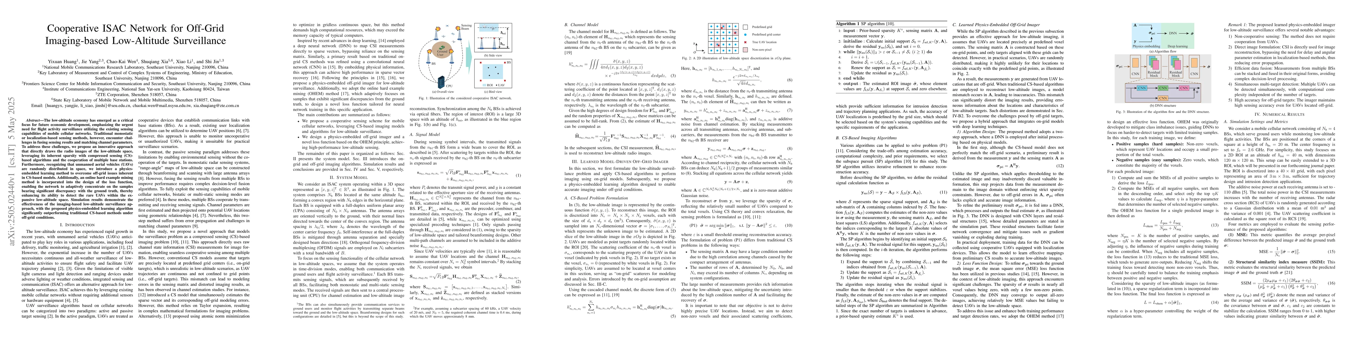
To address these challenges, we propose an innovative approach that directly draws the radio images of the low-altitude space, leveraging its inherent sparsity with compressed sensing (CS)-based algorithms and the cooperation of multiple base stations. Furthermore, recognizing that unmanned aerial vehicles (UAVs) are randomly distributed in space, we introduce a physics-embedded learning method to overcome off-grid issues inherent in CS-based models. Additionally, an online hard example mining method is incorporated into the design of the loss function, enabling the network to adaptively concentrate on the samples bearing significant discrepancy with the ground truth, thereby enhancing its ability to detect the rare UAVs within the expansive low-altitude space. Simulation results demonstrate the effectiveness of the imaging-based low-altitude surveillance approach, with the proposed physics-embedded learning algorithm significantly outperforming traditional CS-based methods under off-grid conditions.
Key Findings, in focus
Seven facets of this paper, analysed and brought into focus by AI.
This research is significant for future economic development focusing on the low-altitude economy, emphasizing the urgent need for flight activity surveillance using existing mobile cellular networks.
- The proposed physics-embedded learning algorithm significantly outperforms traditional CS-based methods under off-grid conditions.
- Simulation results demonstrate the effectiveness of the imaging-based low-altitude surveillance approach.
- The method achieves high-performance low-altitude sensing with a novel loss function designed using the online hard example mining principle.
- The approach enables simultaneous multi-target detection with computational complexity independent of the number of targets.
- It maintains high sensing accuracy for off-grid targets.
This research is significant for future economic development focusing on the low-altitude economy, emphasizing the urgent need for flight activity surveillance using existing mobile cellular networks. The proposed method overcomes challenges in fusing sensing results and matching channel parameters, offering a practical solution for low-altitude surveillance.
The paper presents a novel cooperative ISAC network for off-grid imaging-based low-altitude surveillance, incorporating a physics-embedded learning method and an online hard example mining loss function to enhance detection of rare unmanned aerial vehicles (UAVs) in expansive low-altitude spaces.
The work introduces a physics-embedded learning approach to tackle off-grid issues in CS-based models for low-altitude surveillance, combining it with an online hard example mining method for improved target detection, which distinguishes it from previous research.
- The paper does not discuss potential scalability issues with an increasing number of base stations or targets.
- Limited information on real-world implementation and practical challenges.
- Investigate the scalability of the proposed method with a larger number of base stations and targets.
- Explore the practical implementation challenges and potential solutions for real-world deployment.
Impact
Paper Details
Authors
PDF Preview
Citation Network
Current paper (gray), citations (green), references (blue)
Display is limited for performance on very large graphs.
Discussion 0