AI Quick Summary
The paper introduces CRADMap, a novel distributed volumetric mapping framework that leverages 5G-connected multi-robots and 4D radar sensing to create high-fidelity 3D maps with reduced computational load. The system combines ORBSLAM3 and COVINS for optimized mapping, enabling robots to perform local mapping while a centralized server aggregates data for real-time, high-detail volumetric reconstructions.
Quick Answers
What is "CRADMap: Applied Distributed Volumetric Mapping with 5G-Connected Multi-Robots and 4D Radar Sensing" about?
The paper introduces CRADMap, a novel distributed volumetric mapping framework that leverages 5G-connected multi-robots and 4D radar sensing to create high-fidelity 3D maps with reduced computational load. The system combines ORBSLAM3 and COVINS for optimized mapping, enabling robots to perform local mapping while a centralized server aggregates data for real-time, high-detail volumetric reconstructions.
What methodology did the authors use?
The research presents CRADMap, a distributed multi-robot framework for applied volumetric mapping using ORBSLAM3 on front-ends and a centralized COVINS backend for distributed architecture. It also integrates a dedicated Altos 4D mmWave radar for generating additional point cloud maps of obscured metallic objects. More in Methodology →
What are the key results?
CRADMap achieves globally consistent volumetric reconstructions in complex indoor environments. — The framework yields substantial improvements in coverage (75% to 85%) and point density (4.8× to 5.5×) compared to state-of-the-art (SOTA) methods. More in Key Results →
Why is this work significant?
This work is significant as it unifies sparse and dense SLAM methods for multi-robot systems, enabling the detection of Beyond-the-Visible (BtV) hidden structures. By extending feature-based SLAM with volumetric keyframes and leveraging a 5G-connected backend for global pose-graph optimization, CRADMap delivers globally consistent 3D reconstructions while offloading intensive computation from resource-constrained AMRs. More in Significance →
What are the main limitations?
The paper does not explicitly discuss limitations, but potential limitations could include dependency on 5G connectivity and the need for additional hardware (4D mmWave radar). More in Limitations →
Abstract
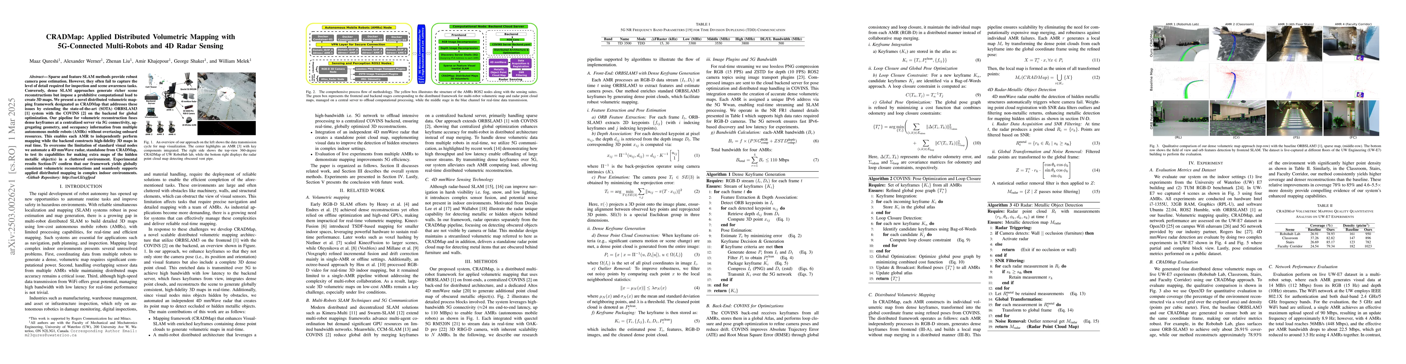
Sparse and feature SLAM methods provide robust camera pose estimation. However, they often fail to capture the level of detail required for inspection and scene awareness tasks. Conversely, dense SLAM approaches generate richer scene reconstructions but impose a prohibitive computational load to create 3D maps. We present a novel distributed volumetric mapping framework designated as CRADMap that addresses these issues by extending the state-of-the-art (SOTA) ORBSLAM3 [1] system with the COVINS [2] on the backend for global optimization. Our pipeline for volumetric reconstruction fuses dense keyframes at a centralized server via 5G connectivity, aggregating geometry, and occupancy information from multiple autonomous mobile robots (AMRs) without overtaxing onboard resources. This enables each AMR to independently perform mapping while the backend constructs high-fidelity 3D maps in real time. To overcome the limitation of standard visual nodes we automate a 4D mmWave radar, standalone from CRADMap, to test its capabilities for making extra maps of the hidden metallic object(s) in a cluttered environment. Experimental results Section-IV confirm that our framework yields globally consistent volumetric reconstructions and seamlessly supports applied distributed mapping in complex indoor environments.
AI Key Findings
Generated Jun 10, 2025
Methodology — What approach did the authors take?
The research presents CRADMap, a distributed multi-robot framework for applied volumetric mapping using ORBSLAM3 on front-ends and a centralized COVINS backend for distributed architecture. It also integrates a dedicated Altos 4D mmWave radar for generating additional point cloud maps of obscured metallic objects.
Key Results — What are the main findings?
- CRADMap achieves globally consistent volumetric reconstructions in complex indoor environments.
- The framework yields substantial improvements in coverage (75% to 85%) and point density (4.8× to 5.5×) compared to state-of-the-art (SOTA) methods.
- The standalone 4D mmWave radar module detects occluded metallic structures with rates of 84% to 92% in cluttered environments.
- Experimental results demonstrate real-time performance and efficient offloading of computation load from AMRs.
- 5G connectivity ensures high-bandwidth, enabling a 2× faster map update rate.
Significance — Why does this research matter?
This work is significant as it unifies sparse and dense SLAM methods for multi-robot systems, enabling the detection of Beyond-the-Visible (BtV) hidden structures. By extending feature-based SLAM with volumetric keyframes and leveraging a 5G-connected backend for global pose-graph optimization, CRADMap delivers globally consistent 3D reconstructions while offloading intensive computation from resource-constrained AMRs.
Technical Contribution — What is the technical contribution?
The main technical contribution is the CRADMap framework, which combines sparse and dense SLAM methods for multi-robot systems, utilizing 5G connectivity for real-time, globally optimized 3D reconstructions.
Novelty — What is new about this work?
CRADMap's novelty lies in its distributed multi-robot architecture that leverages high-bandwidth 5G networks to offload intensive processing to a centralized backend, enabling real-time volumetric mapping with resource-constrained AMRs.
Limitations — What are the limitations of this study?
- The paper does not explicitly discuss limitations, but potential limitations could include dependency on 5G connectivity and the need for additional hardware (4D mmWave radar).
Future Work — What did the authors propose for future work?
- Explore the scalability of mmWave 5G for outdoor applications.
- Extend testing to compare with other dense SLAM methods.
Paper Details
How to Cite This Paper
@article{werner2025cradmap,
title = {CRADMap: Applied Distributed Volumetric Mapping with 5G-Connected
Multi-Robots and 4D Radar Sensing},
author = {Werner, Alexander and Khajepour, Amir and Shaker, George and others},
year = {2025},
eprint = {2503.00262},
archivePrefix = {arXiv},
primaryClass = {cs.RO},
}
Werner, A., Khajepour, A., Shaker, G., Qureshi, M., Melek, W., & Liu, Z. (2025). CRADMap: Applied Distributed Volumetric Mapping with 5G-Connected
Multi-Robots and 4D Radar Sensing. arXiv. https://arxiv.org/abs/2503.00262
Werner, Alexander, et al. "CRADMap: Applied Distributed Volumetric Mapping with 5G-Connected
Multi-Robots and 4D Radar Sensing." arXiv, 2025, arxiv.org/abs/2503.00262.
PDF Preview
Citation Network
Current paper (gray), citations (green), references (blue)
Display is limited for performance on very large graphs.
Similar Papers
Found 4 papers4D iRIOM: 4D Imaging Radar Inertial Odometry and Mapping
Yuan Zhuang, Binliang Wang, Jianzhu Huai et al.
NTU4DRadLM: 4D Radar-centric Multi-Modal Dataset for Localization and Mapping
Jun Zhang, Huayang Zhuge, Yiyao Liu et al.
Fronthaul-Constrained Distributed Radar Sensing
Christian Eckrich, Abdelhak M. Zoubir, Vahid Jamali
No citations found for this paper.
Comments (0)