01
MethodologyHow they did it
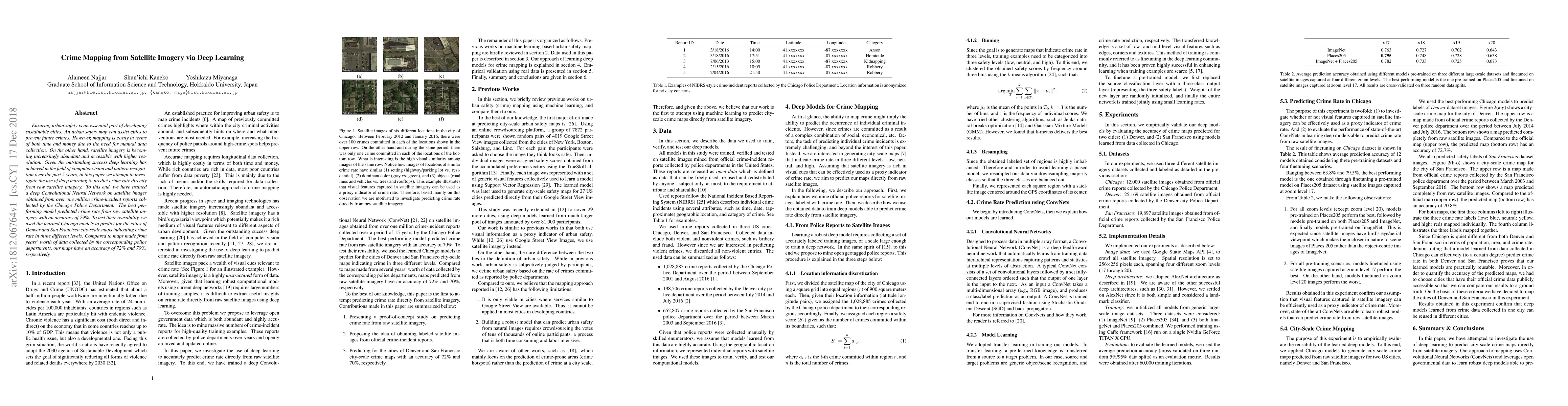
The research utilized deep learning, specifically Convolutional Neural Networks (ConvNets), to predict city-scale crime maps directly from satellite imagery. The method involved training models on over one million crime incident reports from the Chicago Police Department, discretizing the city map into 900 square meter regions, categorizing safety scores into three levels (low, neutral, high) using k-means clustering, and fine-tuning pre-trained models on satellite images captured at different zoom levels.
Discussion 0