Authors
Publication
Metrics
Quick Actions
Quick Answers
What methodology did the authors use?
The paper proposes CURL-SLAM, a LiDAR SLAM system that uses the CURL representation with a pipeline including odometry, local bundle adjustment, and loop closure, leveraging spherical harmonics for implicit map encoding and optimization. More in Methodology →
What are the key results?
CURL-SLAM achieves state-of-the-art mapping quality with a compact map representation that is significantly smaller than traditional point cloud maps. — The system maintains real-time performance at 10 Hz on a CPU, demonstrating efficiency and practicality for large-scale environments. More in Key Results →
Why is this work significant?
This research introduces an efficient, updatable, and highly accurate LiDAR mapping system that can operate in real-time on resource-constrained hardware, with potential applications in autonomous navigation and large-scale mapping. More in Significance →
What are the main limitations?
The system's performance depends on the spherical harmonics degree, which may limit detail capture in highly complex environments. — The current implementation may require further optimization for deployment on embedded systems or with lower computational resources. More in Limitations →
Abstract
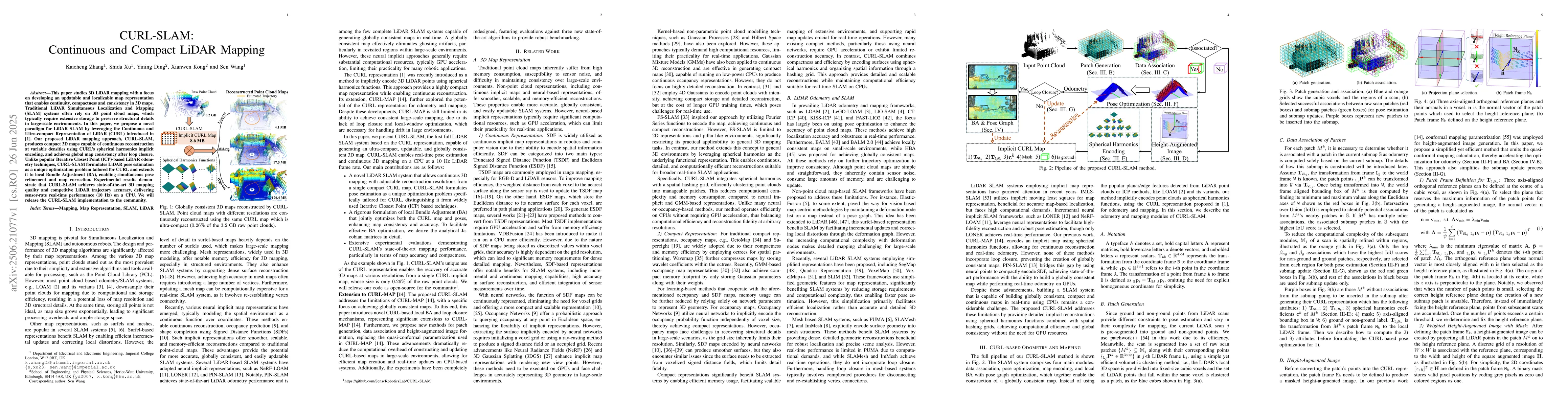
This paper studies 3D LiDAR mapping with a focus on developing an updatable and localizable map representation that enables continuity, compactness and consistency in 3D maps. Traditional LiDAR Simultaneous Localization and Mapping (SLAM) systems often rely on 3D point cloud maps, which typically require extensive storage to preserve structural details in large-scale environments. In this paper, we propose a novel paradigm for LiDAR SLAM by leveraging the Continuous and Ultra-compact Representation of LiDAR (CURL) introduced in [1]. Our proposed LiDAR mapping approach, CURL-SLAM, produces compact 3D maps capable of continuous reconstruction at variable densities using CURL's spherical harmonics implicit encoding, and achieves global map consistency after loop closure. Unlike popular Iterative Closest Point (ICP)-based LiDAR odometry techniques, CURL-SLAM formulates LiDAR pose estimation as a unique optimization problem tailored for CURL and extends it to local Bundle Adjustment (BA), enabling simultaneous pose refinement and map correction. Experimental results demonstrate that CURL-SLAM achieves state-of-the-art 3D mapping quality and competitive LiDAR trajectory accuracy, delivering sensor-rate real-time performance (10 Hz) on a CPU. We will release the CURL-SLAM implementation to the community.
AI Key Findings
Generated Jul 01, 2025
Methodology — What approach did the authors take?
The paper proposes CURL-SLAM, a LiDAR SLAM system that uses the CURL representation with a pipeline including odometry, local bundle adjustment, and loop closure, leveraging spherical harmonics for implicit map encoding and optimization.
Key Results — What are the main findings?
- CURL-SLAM achieves state-of-the-art mapping quality with a compact map representation that is significantly smaller than traditional point cloud maps.
- The system maintains real-time performance at 10 Hz on a CPU, demonstrating efficiency and practicality for large-scale environments.
- Loop closure and local bundle adjustment improve global map consistency and map accuracy, especially in challenging environments.
- Experiments on multiple datasets show that CURL-SLAM outperforms existing methods like SLAMesh, PIN-SLAM, and HBA in map accuracy, completeness, and sharpness.
Significance — Why does this research matter?
This research introduces an efficient, updatable, and highly accurate LiDAR mapping system that can operate in real-time on resource-constrained hardware, with potential applications in autonomous navigation and large-scale mapping.
Technical Contribution — What is the technical contribution?
The main contribution is the development of CURL-SLAM, which encodes LiDAR maps implicitly using spherical harmonics, enabling continuous, compact, and high-quality 3D mapping with integrated pose optimization.
Novelty — What is new about this work?
This work is novel in applying the CURL representation to real-time LiDAR SLAM, achieving a balance between map compactness, reconstruction quality, and computational efficiency, which is distinct from traditional point cloud or neural network-based methods.
Limitations — What are the limitations of this study?
- The system's performance depends on the spherical harmonics degree, which may limit detail capture in highly complex environments.
- The current implementation may require further optimization for deployment on embedded systems or with lower computational resources.
Future Work — What did the authors propose for future work?
- Integrating inertial measurement units (IMUs) to enhance robustness in environments with limited field of view.
- Further optimizing the system for embedded platforms and exploring hardware acceleration options.
How to Cite This Paper
@article{zhang2025curl,
title = {CURL-SLAM: Continuous and Compact LiDAR Mapping},
author = {Zhang, Kaicheng and Wang, Sen and Xu, Shida and others},
year = {2025},
eprint = {2506.21077},
archivePrefix = {arXiv},
primaryClass = {cs.RO},
}
Zhang, K., Wang, S., Xu, S., Kong, X., & Ding, Y. (2025). CURL-SLAM: Continuous and Compact LiDAR Mapping. arXiv. https://arxiv.org/abs/2506.21077
Zhang, Kaicheng, et al. "CURL-SLAM: Continuous and Compact LiDAR Mapping." arXiv, 2025, arxiv.org/abs/2506.21077.
PDF Preview
Citation Network
Current paper (gray), citations (green), references (blue)
Display is limited for performance on very large graphs.
Similar Papers
Found 4 papersCURL: Continuous, Ultra-compact Representation for LiDAR
Kaicheng Zhang, Shida Xu, Ziyang Hong et al.
Weighted Conformal LiDAR-Mapping for Structured SLAM
Carmen Benavides, Natalia Prieto-Fernández, Sergio Fernández-Blanco et al.
Direct LiDAR-Inertial Odometry and Mapping: Perceptive and Connective SLAM
Kenny Chen, Ryan Nemiroff, Brett T. Lopez
No citations found for this paper.
Comments (0)