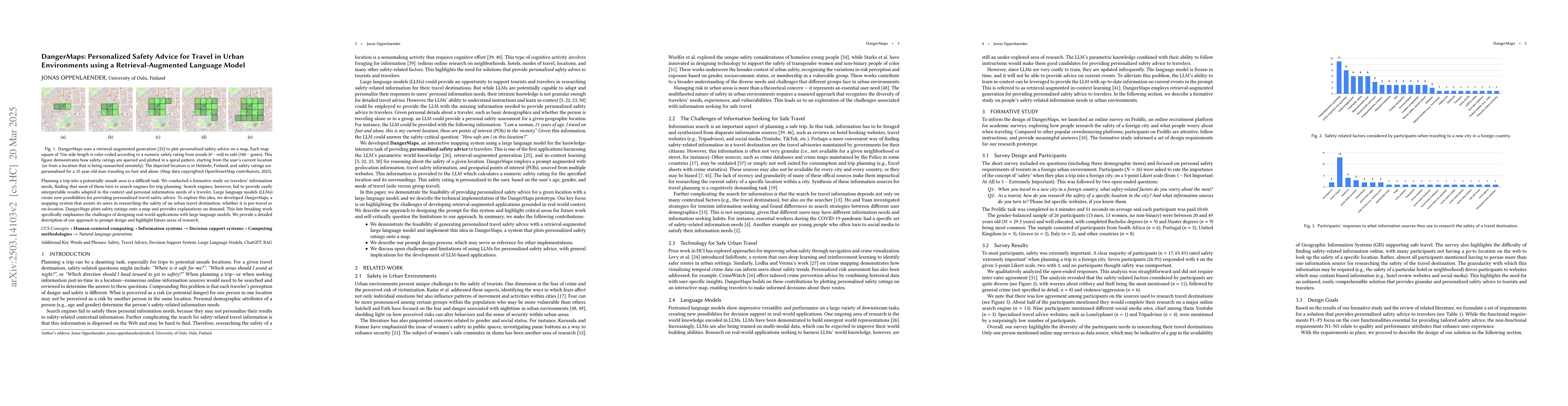
Planning a trip into a potentially unsafe area is a difficult task. We
conducted a formative study on travelers' information needs, finding that most
of them turn to search engines for trip planning. Search engines, however, fail
to provide easily interpretable results adapted to the context and personal
information needs of a traveler. Large language models (LLMs) create new
possibilities for providing personalized travel safety advice. To explore this
idea, we developed DangerMaps, a mapping system that assists its users in
researching the safety of an urban travel destination, whether it is pre-travel
or on-location. DangerMaps plots safety ratings onto a map and provides
explanations on demand. This late breaking work specifically emphasizes the
challenges of designing real-world applications with large language models. We
provide a detailed description of our approach to prompt design and highlight
future areas of research.
Discussion 0