Data fusion of complementary data sources using Machine Learning enables higher accuracy Solar Resource Maps
Publication
Metrics
AI Quick Summary
This research develops machine learning models to fuse complementary solar irradiance and atmospheric condition data from various sources, achieving higher accuracy in Global Horizontal Irradiance estimates over Norway compared to individual data sources. The study releases a 30-year map of GHI as an open data product, showcasing the potential for this ML-based fusion methodology in other geographic regions.
Paper Preview
Abstract
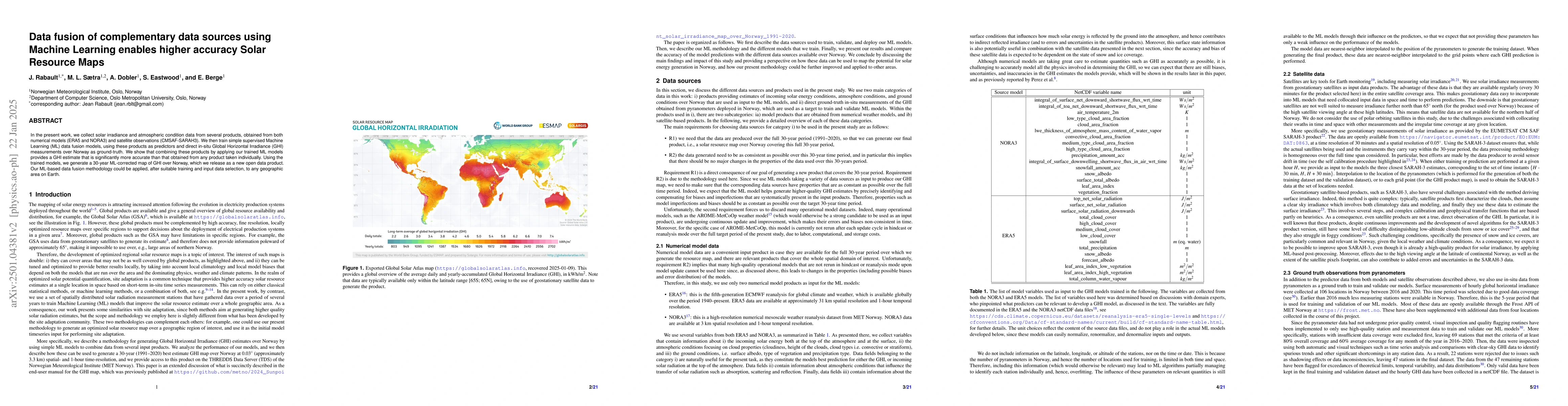
In the present work, we collect solar irradiance and atmospheric condition data from several products, obtained from both numerical models (ERA5 and NORA3) and satellite observations (CMSAF-SARAH3). We then train simple supervised Machine Learning (ML) data fusion models, using these products as predictors and direct in-situ Global Horizontal Irradiance (GHI) measurements over Norway as ground-truth. We show that combining these products by applying our trained ML models provides a GHI estimate that is significantly more accurate than that obtained from any product taken individually. Using the trained models, we generate a 30-year ML-corrected map of GHI over Norway, which we release as a new open data product. Our ML-based data fusion methodology could be applied, after suitable training and input data selection, to any geographic area on Earth.
AI Key Findings
Get AI-generated insights about this paper's methodology, results, significance, and more — seven facets brought into focus.
Impact
Authors
PDF Preview
Citation Network
Current paper (gray), citations (green), references (blue)
Display is limited for performance on very large graphs.
Discussion 0