Deep Learning Techniques for Geospatial Data Analysis
Publication
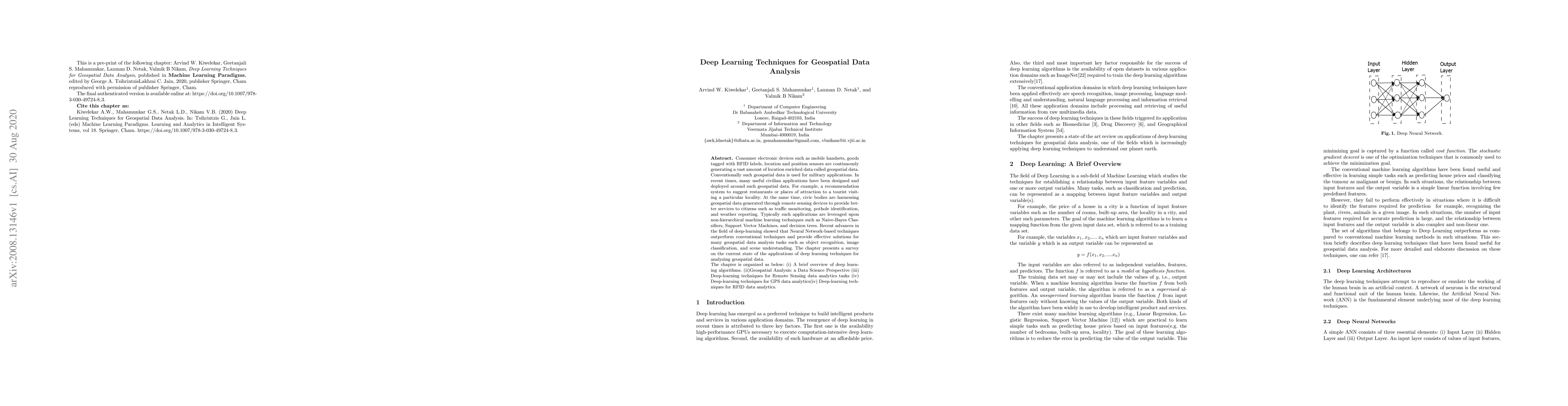
Metrics
AI Quick Summary
This paper surveys deep learning techniques for geospatial data analysis, highlighting their superior performance over conventional machine learning methods in tasks like object recognition and image classification. It covers deep learning algorithms, geospatial data science, and applications in remote sensing, GPS, and RFID data analytics.
Paper Preview
Abstract
Consumer electronic devices such as mobile handsets, goods tagged with RFID labels, location and position sensors are continuously generating a vast amount of location enriched data called geospatial data. Conventionally such geospatial data is used for military applications. In recent times, many useful civilian applications have been designed and deployed around such geospatial data. For example, a recommendation system to suggest restaurants or places of attraction to a tourist visiting a particular locality. At the same time, civic bodies are harnessing geospatial data generated through remote sensing devices to provide better services to citizens such as traffic monitoring, pothole identification, and weather reporting. Typically such applications are leveraged upon non-hierarchical machine learning techniques such as Naive-Bayes Classifiers, Support Vector Machines, and decision trees. Recent advances in the field of deep-learning showed that Neural Network-based techniques outperform conventional techniques and provide effective solutions for many geospatial data analysis tasks such as object recognition, image classification, and scene understanding. The chapter presents a survey on the current state of the applications of deep learning techniques for analyzing geospatial data. The chapter is organized as below: (i) A brief overview of deep learning algorithms. (ii)Geospatial Analysis: a Data Science Perspective (iii) Deep-learning techniques for Remote Sensing data analytics tasks (iv) Deep-learning techniques for GPS data analytics(iv) Deep-learning techniques for RFID data analytics.
AI Key Findings
Get AI-generated insights about this paper's methodology, results, significance, and more — seven facets brought into focus.
Impact
Paper Details
Authors
PDF Preview
Key Terms
Citation Network
Current paper (gray), citations (green), references (blue)
Display is limited for performance on very large graphs.
Discussion 0