ArxivLens
ArXiv cs.CV

Depth Estimation maps of lidar and stereo images

Fei Wu, Luoyu Chen

2212.11741 Published Dec 23, 2022
View PDF

Publication

Published: Dec 23, 2022
Categories: cs.CV

Metrics

Source: ArXiv

AI Quick Summary

This paper evaluates depth estimation using lidar data and stereo images, focusing on performance and mathematical methods over machine learning. It discusses the creation and analysis of depth maps from stereo images and 3D cloud points, and provides insights into optimization techniques for depth estimation.

Quick Answers

What is "Depth Estimation maps of lidar and stereo images" about?

This paper evaluates depth estimation using lidar data and stereo images, focusing on performance and mathematical methods over machine learning. It discusses the creation and analysis of depth maps from stereo images and 3D cloud points, and provides insights into optimization techniques for depth estimation.

What methodology did the authors use?

The paper evaluates depth estimation performance using lidar 3D cloud data and stereo images, comparing methods for depth estimation from stereo images and lidar data. It explains the use of pure mathematics for stereo depth estimation over machine learning, detailing techniques like block matching and semi-global block matching (SGBM) for disparity estimation. More in Methodology →

What are the key results?

Depth maps from stereo images and lidar data were analyzed for alignment and error relationships. — Lidar depth estimation showed better performance with saved key characteristics compared to without. More in Key Results →

Why is this work significant?

This research is important for understanding and improving depth estimation techniques in autonomous driving and robotics, where accurate depth perception is crucial for navigation and obstacle avoidance. More in Significance →

What are the main limitations?

The study is limited to the datasets provided by Ford, which may not fully represent diverse real-world scenarios. — The paper does not extensively explore the impact of varying lidar and camera parameters on depth estimation performance. More in Limitations →

Paper Preview

Abstract

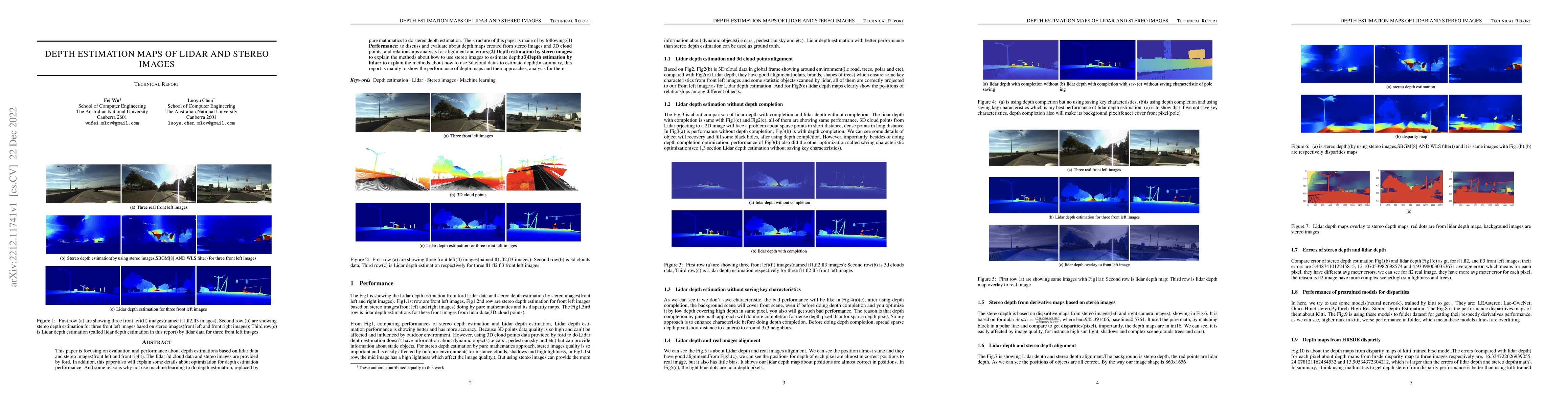
This paper as technology report is focusing on evaluation and performance about depth estimations based on lidar data and stereo images(front left and front right). The lidar 3d cloud data and stereo images are provided by ford. In addition, this paper also will explain some details about optimization for depth estimation performance. And some reasons why not use machine learning to do depth estimation, replaced by pure mathmatics to do stereo depth estimation. The structure of this paper is made of by following:(1) Performance: to discuss and evaluate about depth maps created from stereo images and 3D cloud points, and relationships analysis for alignment and errors;(2) Depth estimation by stereo images: to explain the methods about how to use stereo images to estimate depth;(3)Depth estimation by lidar: to explain the methods about how to use 3d cloud datas to estimate depth;In summary, this report is mainly to show the performance of depth maps and their approaches, analysis for them.

Key Findings, in focus

Seven facets of this paper, analysed and brought into focus by AI.

AI-generated · verify against source Generated Sep 07, 2025
In focus · one-line synthesis

This research is important for understanding and improving depth estimation techniques in autonomous driving and robotics, where accurate depth perception is crucial for navigation and obstacle avoidance.

01
MethodologyHow they did it

The paper evaluates depth estimation performance using lidar 3D cloud data and stereo images, comparing methods for depth estimation from stereo images and lidar data. It explains the use of pure mathematics for stereo depth estimation over machine learning, detailing techniques like block matching and semi-global block matching (SGBM) for disparity estimation.

02
ResultsWhat they found
  • Depth maps from stereo images and lidar data were analyzed for alignment and error relationships.
  • Lidar depth estimation showed better performance with saved key characteristics compared to without.
  • Stereo depth estimation was found to be easily affected by image quality factors such as high sunlight, shadows, and complex scenes.
  • Pretrained neural network models for disparity estimation showed overfitting when applied to a folded dataset.
  • Depth maps from HRSD-E disparity had larger errors compared to lidar and stereo depth (mathematical) methods.
03
SignificanceWhy it matters

This research is important for understanding and improving depth estimation techniques in autonomous driving and robotics, where accurate depth perception is crucial for navigation and obstacle avoidance.

04
Technical ContributionsWhat's new technically

The paper presents detailed methods for depth estimation using both lidar and stereo images, emphasizing the use of pure mathematics over machine learning and providing a comprehensive analysis of alignment and error in depth maps.

05
NoveltyWhat sets it apart

This work stands out by focusing on the comparison and evaluation of depth estimation methods from lidar and stereo images, highlighting the effectiveness of pure mathematical approaches over machine learning for stereo depth estimation.

06
LimitationsWhat to be cautious about
  • The study is limited to the datasets provided by Ford, which may not fully represent diverse real-world scenarios.
  • The paper does not extensively explore the impact of varying lidar and camera parameters on depth estimation performance.
07
Future WorkWhere it goes next
  • Investigate the performance of depth estimation methods under varying environmental conditions and sensor configurations.
  • Explore the integration of machine learning techniques to enhance depth estimation accuracy and robustness.

Paper Details

Paper ID: 2212.11741
License: http://arxiv.org/licenses/nonexclusive-distrib/1.0/
Comments: 10 pages, 13 figures
Categories:
cs.CV

How to Cite This Paper

Reference manager: RIS EndNote

Key Terms

depth (0.370)
lidar (0.316)
estimation (0.257)
images (0.248)
cloud (0.247)
explain (0.225)
maps (0.182)
performance (0.168)


No references found for this paper.


Discussion 0

This website uses cookies to ensure you get the best experience. Learn more