DiResNet: Direction-aware Residual Network for Road Extraction in VHR Remote Sensing Images
Publication
Metrics
AI Quick Summary
A new deep learning model called DiResNet improves road extraction in high-resolution images by incorporating direction-aware features and refining the results with a separate network.
Paper Preview
Abstract
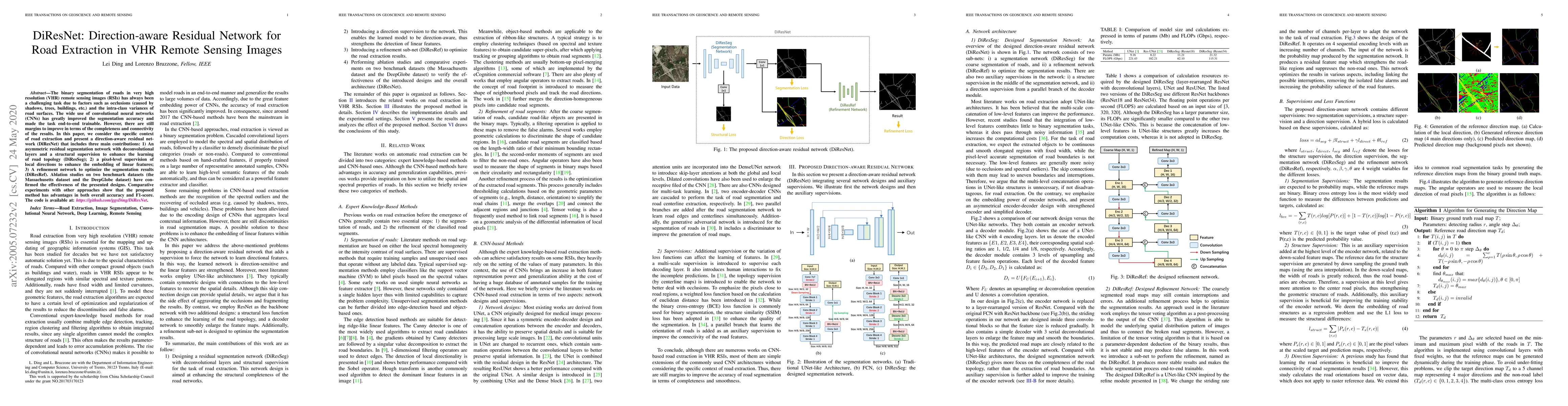
The binary segmentation of roads in very high resolution (VHR) remote sensing images (RSIs) has always been a challenging task due to factors such as occlusions (caused by shadows, trees, buildings, etc.) and the intra-class variances of road surfaces. The wide use of convolutional neural networks (CNNs) has greatly improved the segmentation accuracy and made the task end-to-end trainable. However, there are still margins to improve in terms of the completeness and connectivity of the results. In this paper, we consider the specific context of road extraction and present a direction-aware residual network (DiResNet) that includes three main contributions: 1) An asymmetric residual segmentation network with deconvolutional layers and a structural supervision to enhance the learning of road topology (DiResSeg); 2) A pixel-level supervision of local directions to enhance the embedding of linear features; 3) A refinement network to optimize the segmentation results (DiResRef). Ablation studies on two benchmark datasets (the Massachusetts dataset and the DeepGlobe dataset) have confirmed the effectiveness of the presented designs. Comparative experiments with other approaches show that the proposed method has advantages in both overall accuracy and F1-score. The code is available at: https://github.com/ggsDing/DiResNet.
AI Key Findings
Get AI-generated insights about this paper's methodology, results, significance, and more — seven facets brought into focus.
Impact
Paper Details
PDF Preview
Key Terms
Citation Network
Current paper (gray), citations (green), references (blue)
Display is limited for performance on very large graphs.
Discussion 0