Publication
Metrics
AI Quick Summary
This paper presents a methodology for downscaling global solar irradiation using R software, employing various packages to enhance solar resource estimation in topographically complex areas. The study utilizes a digital elevation model and kriging with external drift to achieve a 25.5% reduction in mean absolute error compared to the original satellite-derived database, demonstrated in La Rioja, Spain.
Paper Preview
Abstract
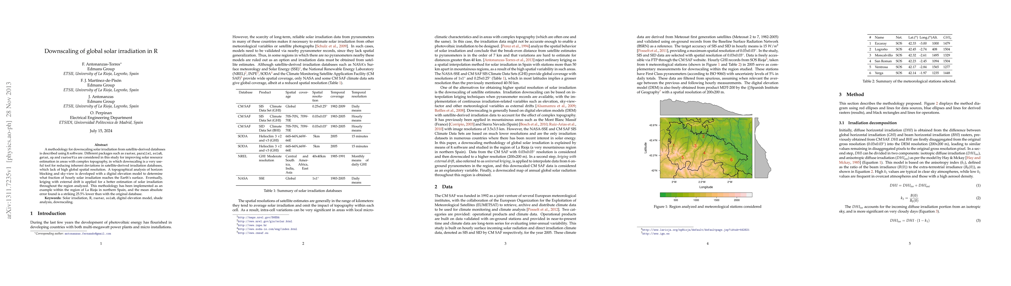
A methodology for downscaling solar irradiation from satellite-derived databases is described using R software. Different packages such as raster, parallel, solaR, gstat, sp and rasterVis are considered in this study for improving solar resource estimation in areas with complex topography, in which downscaling is a very useful tool for reducing inherent deviations in satellite-derived irradiation databases, which lack of high global spatial resolution. A topographical analysis of horizon blocking and sky-view is developed with a digital elevation model to determine what fraction of hourly solar irradiation reaches the Earth's surface. Eventually, kriging with external drift is applied for a better estimation of solar irradiation throughout the region analyzed. This methodology has been implemented as an example within the region of La Rioja in northern Spain, and the mean absolute error found is a striking 25.5% lower than with the original database.
AI Key Findings
Get AI-generated insights about this paper's methodology, results, significance, and more — seven facets brought into focus.
Impact
Paper Details
PDF Preview
Key Terms
Citation Network
Current paper (gray), citations (green), references (blue)
Display is limited for performance on very large graphs.
Discussion 0