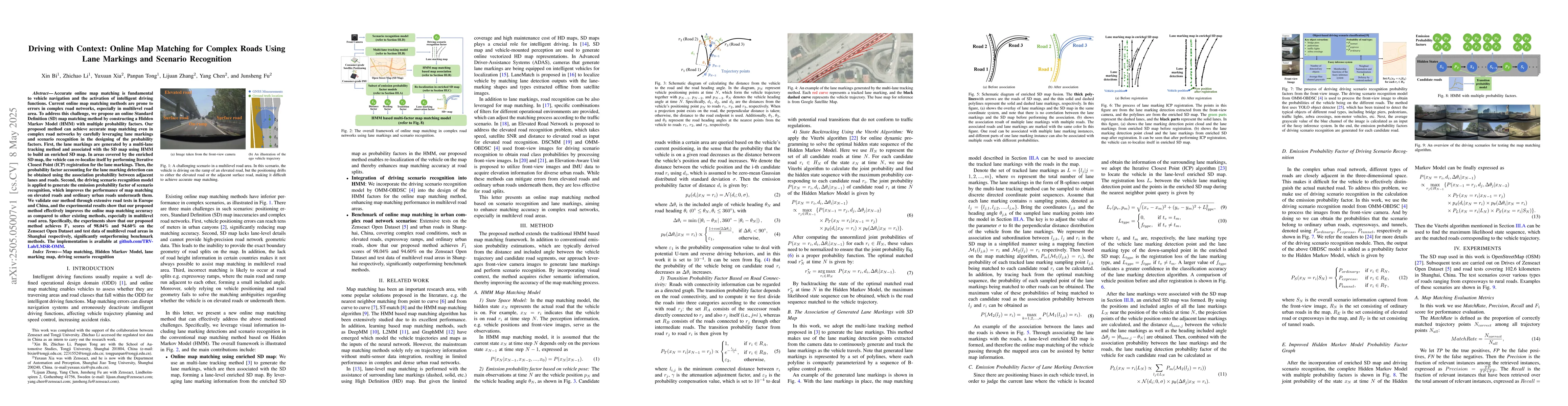
Accurate online map matching is fundamental to vehicle navigation and the
activation of intelligent driving functions. Current online map matching
methods are prone to errors in complex road networks, especially in multilevel
road area. To address this challenge, we propose an online Standard Definition
(SD) map matching method by constructing a Hidden Markov Model (HMM) with
multiple probability factors. Our proposed method can achieve accurate map
matching even in complex road networks by carefully leveraging lane markings
and scenario recognition in the designing of the probability factors. First,
the lane markings are generated by a multi-lane tracking method and associated
with the SD map using HMM to build an enriched SD map. In areas covered by the
enriched SD map, the vehicle can re-localize itself by performing Iterative
Closest Point (ICP) registration for the lane markings. Then, the probability
factor accounting for the lane marking detection can be obtained using the
association probability between adjacent lanes and roads. Second, the driving
scenario recognition model is applied to generate the emission probability
factor of scenario recognition, which improves the performance of map matching
on elevated roads and ordinary urban roads underneath them. We validate our
method through extensive road tests in Europe and China, and the experimental
results show that our proposed method effectively improves the online map
matching accuracy as compared to other existing methods, especially in
multilevel road area. Specifically, the experiments show that our proposed
method achieves $F_1$ scores of 98.04% and 94.60% on the Zenseact Open Dataset
and test data of multilevel road areas in Shanghai respectively, significantly
outperforming benchmark methods. The implementation is available at
https://github.com/TRV-Lab/LMSR-OMM.
Discussion 0