Dust extinction map of the Galactic plane based on the VVV survey data

Source: ArXiv

AI Quick Summary

The paper presents a high-resolution dust extinction map of the Galactic plane and bulge derived from the VVV survey, employing a novel XPNICER method. The map, with 30 arcseconds resolution, captures extinctions up to Av~30 mag, offering improved fidelity over previous maps and aiding diverse astronomical studies.

Share: Share on X LinkedIn

Summary

Dust extinction is one of the most reliable tracers of the gas distribution in the Milky Way. The near-infrared (NIR) Vista Variables in the Via Lactea 
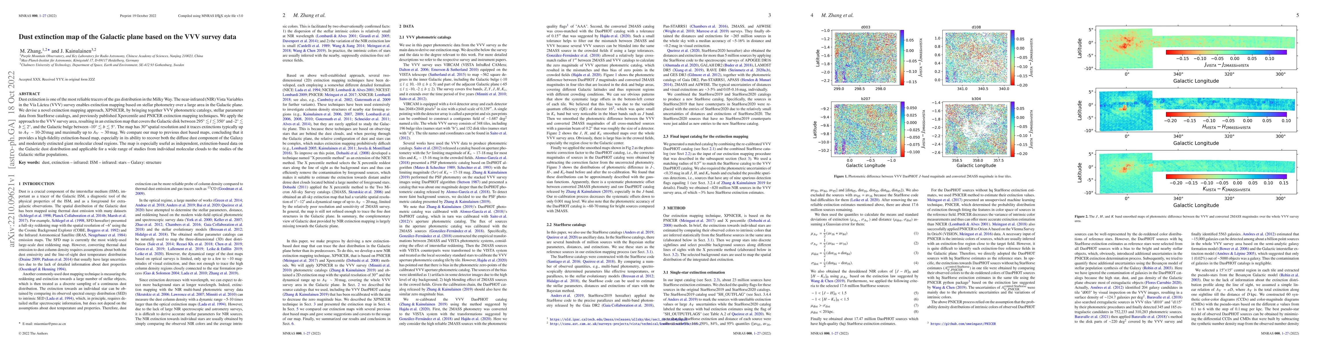
(VVV) survey enables extinction mapping based on stellar photometry over a large area in the Galactic plane. We devise a novel extinction mapping approach, XPNICER, by bringing together VVV photometric catalogs, stellar parameter data from StarHorse catalogs, and previously published Xpercentile and PNICER extinction mapping techniques. We apply the approach to the VVV survey area, resulting in an extinction map that covers the Galactic disk between 295 and 350 degrees at longitude and -2 to 2 degrees at latitude, and the Galactic bulge between -10 and 5 degrees at latitude. The map has 30 arcseconds spatial resolution and it traces extinctions typically up to about 10-20 mag of visual extinction and maximally up to Av~30 mag. We compare our map to previous dust based maps, concluding that it provides a high-fidelity extinction-based map, especially in its ability to recover both the diffuse dust component of the Galaxy and moderately extincted giant molecular cloud regions. The map is especially useful as independent, extinction-based data on the Galactic dust distribution and applicable for a wide range of studies from individual molecular clouds to the studies of the Galactic stellar populations.

AI Key Findings

Generated Sep 03, 2025

Methodology

The research presents a novel extinction mapping approach, XPNICER, combining VVV photometric catalogs, StarHorse stellar parameter data, and previous techniques to produce a high-resolution extinction map of the Galactic plane.

Key Results

  • The XPNICER method generates an extinction map with 30 arcseconds resolution covering the Galactic disk and bulge, tracing extinctions up to ~30 magnitudes in visual extinction.
  • The map is found to be high-fidelity, particularly in recovering both diffuse Galactic dust and moderately extincted giant molecular cloud regions.
  • Comparisons with previous dust-based maps show the XPNICER map's superiority in detailing dust distribution, applicable for various Galactic studies from molecular clouds to stellar populations.

Significance

This extinction map provides an independent, high-resolution data source for Galactic dust distribution, beneficial for studies requiring accurate extinction measurements, such as stellar population analyses and gas-dust relationship investigations.

Technical Contribution

The XPNICER approach integrates stellar photometry, stellar parameter data, and advanced statistical techniques to produce a detailed extinction map of the Galactic plane, offering high spatial resolution and comprehensive coverage.

Novelty

The novelty of this research lies in the development of the XPNICER method, which effectively combines multiple data sources and techniques to create a high-fidelity extinction map, surpassing previous efforts in detail and resolution.

Limitations

  • The XPNICER map cannot accurately trace very dense or distant dust features due to the VVV survey's insufficient sensitivity to detect stars behind dense clouds.
  • Systematic offsets are observed at high extinction levels (Av > 10^-20 mag) compared to other dust-based maps, which could be attributed to different extinction laws, zero-point uncertainties, and SFD map uncertainties.

Future Work

  • Future work could involve combining the extinction map with Herschel PPMAP data to provide a more comprehensive view of Galactic dust properties.
  • Improvements in the XPNICER methodology to better handle dense dust structures, especially at low Galactic latitudes, could enhance the map's utility.

Paper Details

PDF Preview

Download PDF

Key Terms

extinction (0.360)
extinction (0.344)
dust (0.232)
dust (0.231)
galactic (0.229)
galactic (0.224)
map (0.221)
map (0.215)

Citation Network

Current paper (gray), citations (green), references (blue)

Display is limited for performance on very large graphs.

Current Paper
Citations
References
Click to view
Title Authors Year Actions

Comments (0)

This website uses cookies to ensure you get the best experience. Learn more